Back to the librarykm 60 · Jan 2018 · © r66 / Mapillary, CC BY-SA km 0–3km 17–19km 23–26
GravelRouteCasterRound trip
Rondje Mönchsee en Naturwaldreservat Stachel
Distance
61 km
Ascent
890 m
Highest point
480 m
9% paved
Start from your location
Ride there from home: we find the shortest way to the loop and start the loop from there.
The ride
Roll out of Baunach and let the ride unfold: 61.4 km with 890 m of climbing, mostly on unpaved tracks. You pass the Hänge am Kraiberg nature reserve, then the Naturwaldreservat Stachel, before the route swings by the Mönchsee lake. Then it's back to Baunach, where the loop closes.
Along the way
Climbs
Climb 1Cat. 4
3.3 km at 4.1% · max 17.3%
Climb 2Cat. 4
2.6 km at 3.1% · max 12.7%
Climb 3Cat. 3
3.7 km at 4.4% · max 11.7%
Routes nearby
Road bike99% paved
Rondje Schloss Gleusdorf en Burglesauer Tal
98 km↑ 1,271 m14 km away
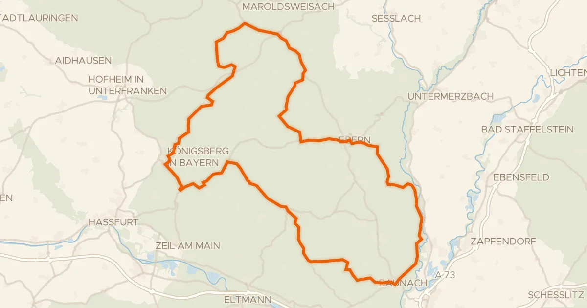
Road bike94% paved
Rondje langs de Burg Königsberg en Hohe Wann
94 km↑ 1,191 m14 km away
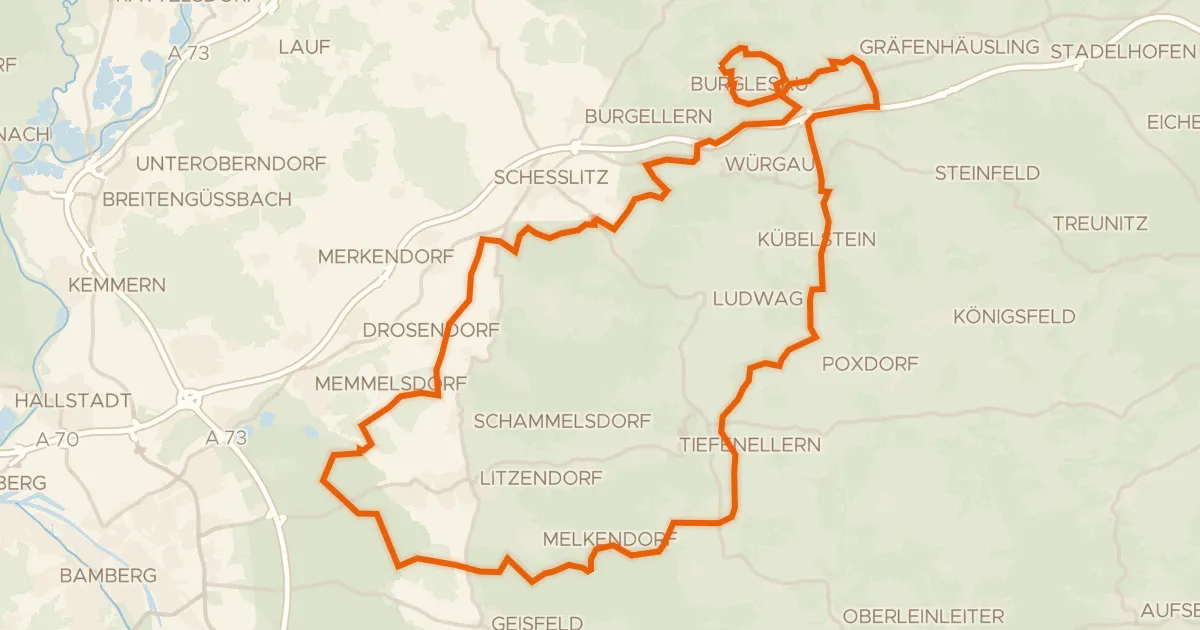
Gravel16% paved
Rondje Burglesauer Tal en Hauptsmoorwald
61 km↑ 1,049 m15 km away
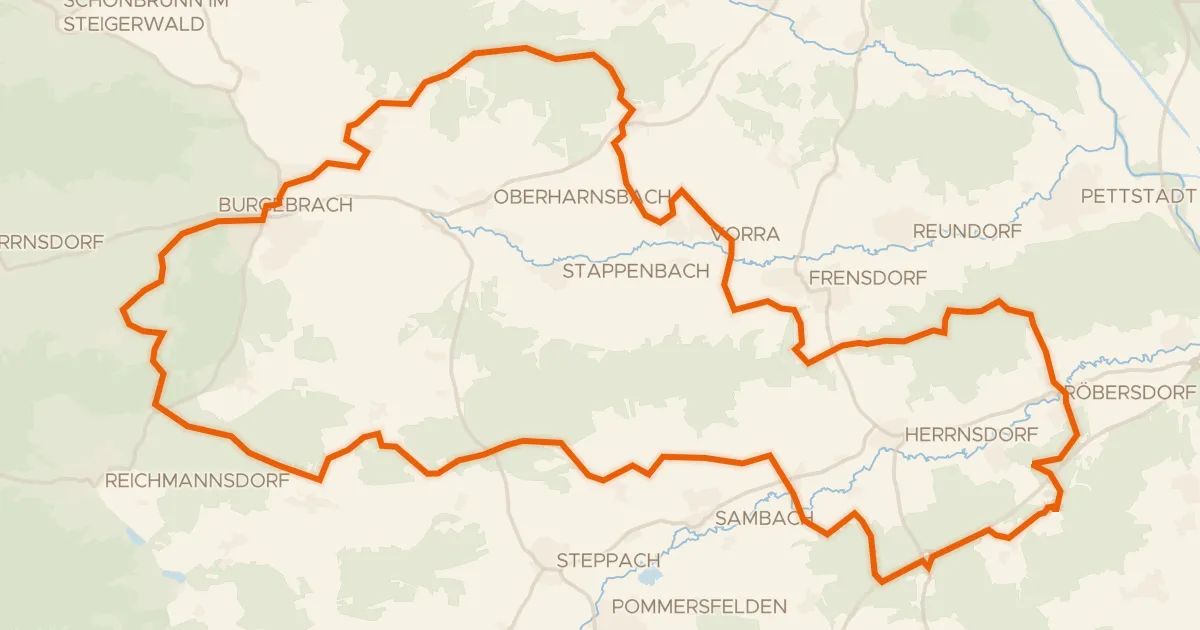
Gravel21% paved
Rondje Naturpark Steigerwald en Reiche Ebrach
57 km↑ 708 m20 km away
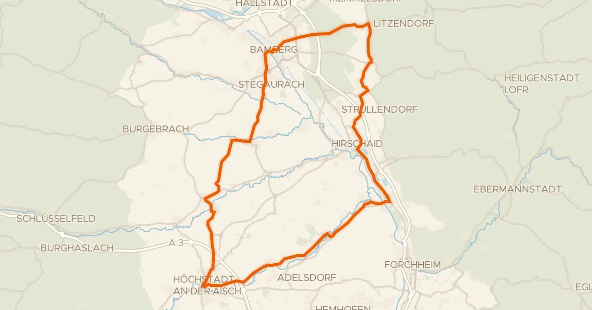
Road bike100% paved
Rondje Schloss Weißenstein en Aisch
75 km↑ 606 m20 km away
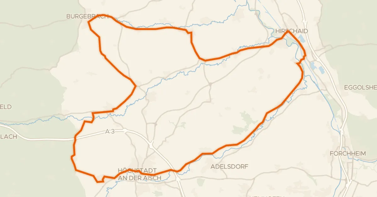
Road bike100% paved
Rondje Schloss Weingartsgreuth en Regnitz
72 km↑ 427 m25 km away