Back to the library
Road bikeRouteCasterRound trip

Rondje Schloss Gleusdorf en Burglesauer Tal

Distance
98 km
Ascent
1,271 m
Highest point
542 m
99% paved

Start from your location

Ride there from home: we find the shortest way to the loop and start the loop from there.

The ride

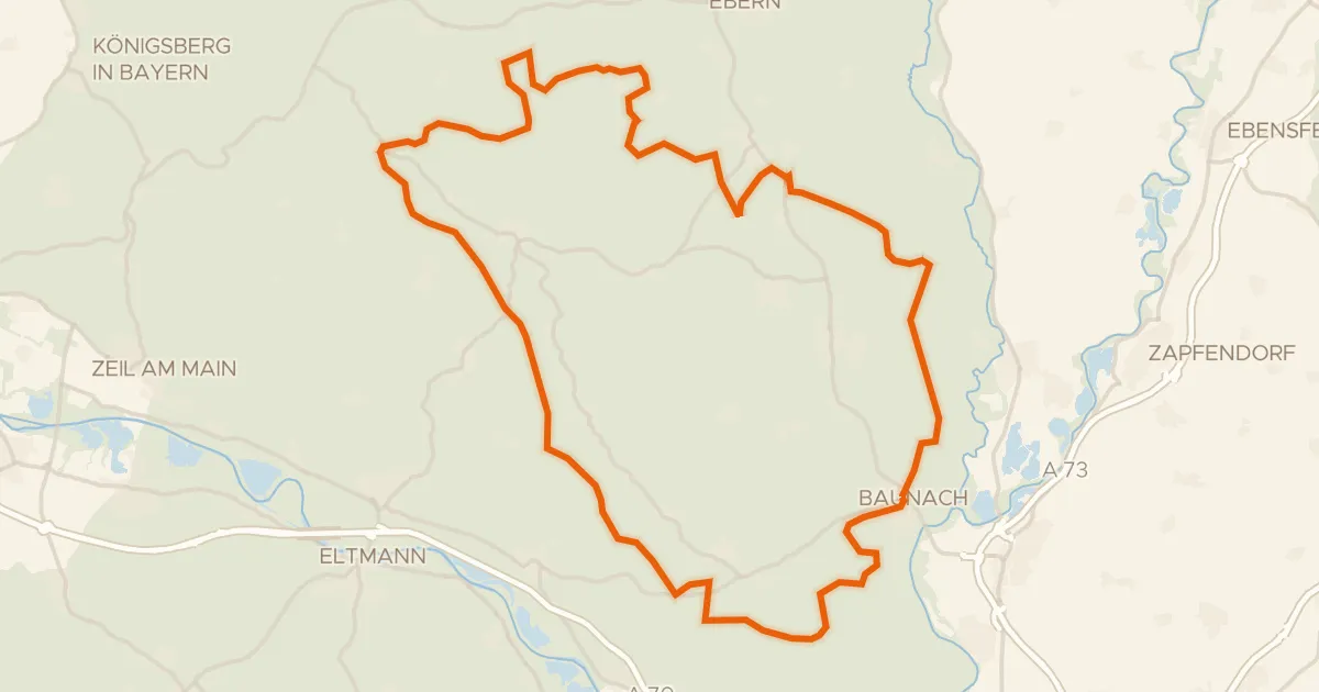
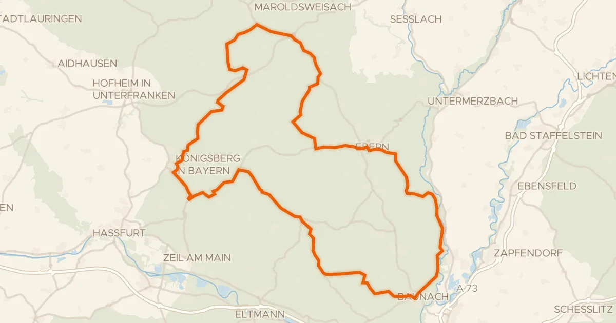
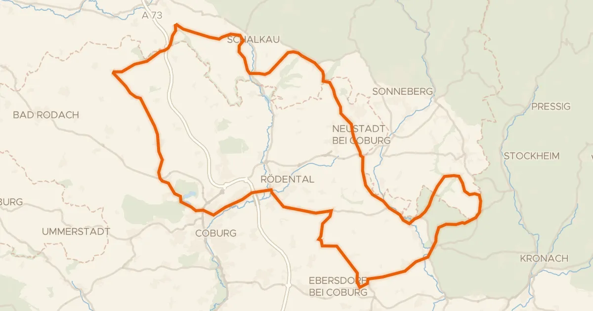
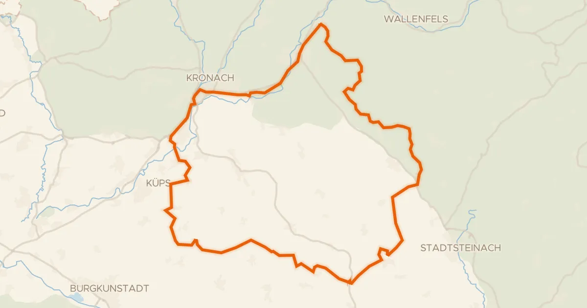
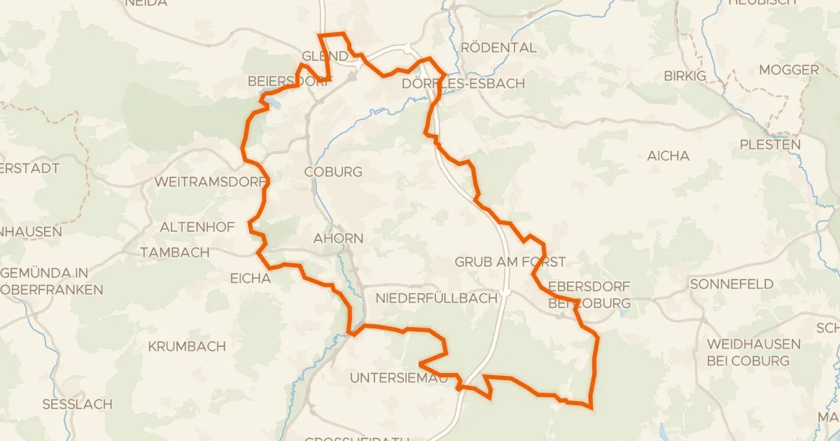
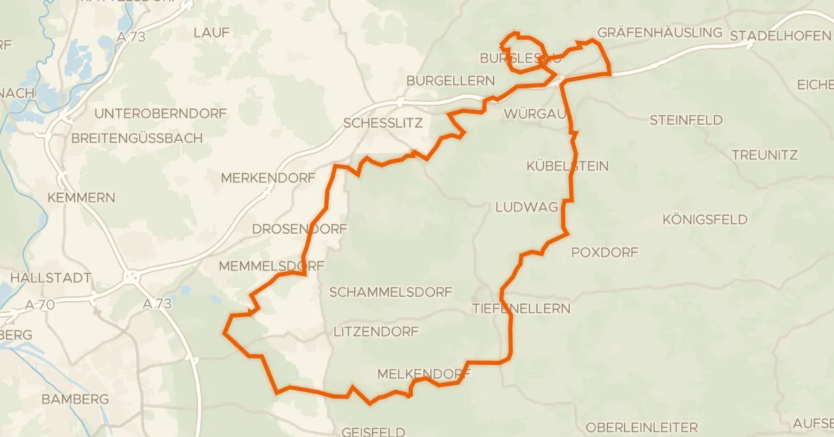
Roll out of Bad Staffelstein and into the Fränkische Schweiz - Veldensteiner Forst nature reserve, then through the Burglesauer Tal and the Frankenjura. Castles stack up from there: Unterleiterbach, then the Haßberge nature reserve, then Gleusdorf, Heilgersdorf and Ziegelsdorf. It's 97.5 km with 1271 m of climbing, almost all on paved surface, and it loops you right back to where you started.
Along the way

km 14 · Jul 2026 · © r66 / Mapillary, CC BY-SA
km 26 · Aug 2026 · © r66 / Mapillary, CC BY-SA
km 59 · Aug 2020 · © motti / Mapillary, CC BY-SA
km 83 · May 2018 · © r66 / Mapillary, CC BY-SA

Climbs

Climb 1Cat. 3
5 km at 3.8% · max 13.8%
km 15–20
Climb 2Cat. 3
4.2 km at 3.9% · max 13.1%
km 69–73

Routes nearby

More cycling routes in Germany →