Back to the library
Road bikeRouteCasterRound trip

Rondje Schloss Weißenstein en Aisch

Distance
75 km
Ascent
606 m
Highest point
345 m
100% paved

Start from your location

Ride there from home: we find the shortest way to the loop and start the loop from there.

The ride

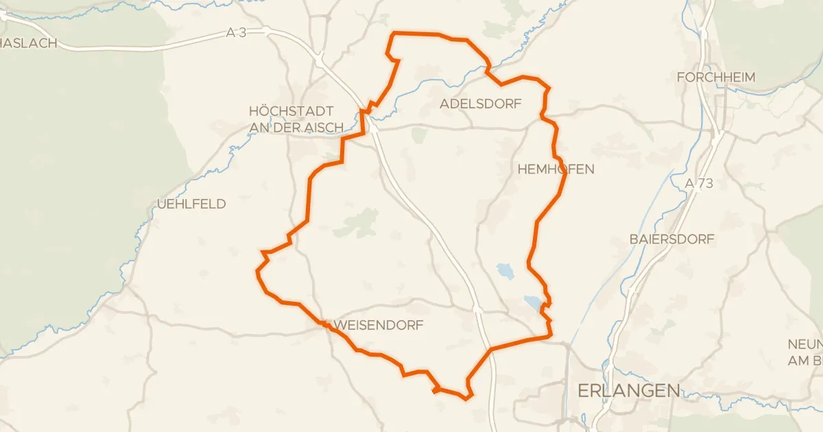
Roll out of Höchstadt an der Aisch and let the castles come to you: Schloss Weißenstein first, then Schloss Wernsdorf later on. Between them the route slips through the Hauptsmoorwald and into the Naturpark Fränkische Schweiz - Frankenjura, with the LSG "Fränkische Schweiz - Veldensteiner Forst" along the way. The Aisch river joins near the end, guiding you back to where you started. It's 75.4 km, entirely paved, with 606 m of climbing to keep the legs interested.
Along the way

km 8 · May 2026 · © derlipper / Mapillary, CC BY-SA
km 24 · Sep 2026 · © r66 / Mapillary, CC BY-SA
km 42 · Jun 2026 · © r66 / Mapillary, CC BY-SA
km 74 · May 2022 · © danfuh / Mapillary, CC BY-SA

Climbs

Climb 1Hill
1 km at 4.6% · max 11.9%
km 2–3

Routes nearby

More cycling routes in Germany →