Back to the librarykm 8–10km 28–28km 29–29
GravelRouteCasterRound trip
Rondje Kaiserpfalz en Auenlandschaft Büg bei Eggolsheim
Distance
57 km
Ascent
646 m
Highest point
385 m
31% paved
Start from your location
Ride there from home: we find the shortest way to the loop and start the loop from there.
The ride
Roll out of Forchheim and let the ride unfold: past the Kaiserpfalz castle, then into the Wiesent-Tal mit Seitentälern nature reserve. Next comes the Auenlandschaft Büg bei Eggolsheim nature reserve, before the route follows the Regnitz and the Wiesent rivers. With 57.4 km and 69% of it unpaved, plus 646 m of climbing, it's a loop that keeps things varied. Back to Forchheim you roll.
Climbs
Climb 1Hill
2.5 km at 3% · max 12.5%
Climb 2Hill
0.4 km at 9.2% · max 13.2%
Climb 3Hill
0.5 km at 9% · max 14.6%
Routes nearby
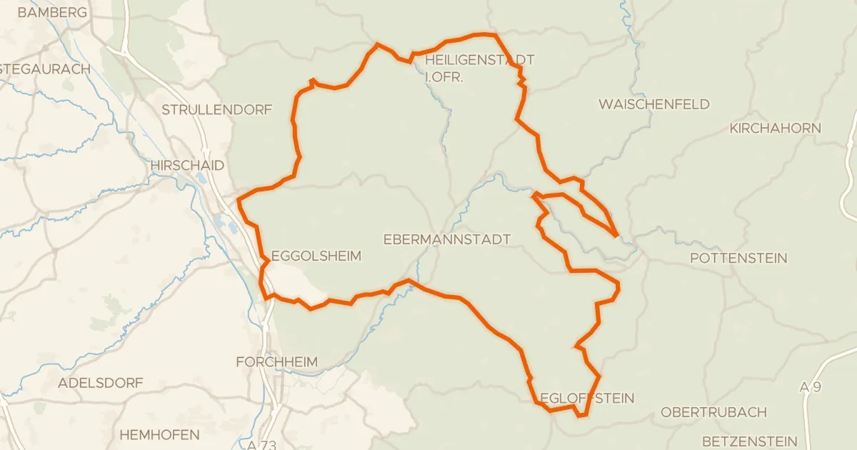
Road bike100% paved
Rondje Schloss Unteraufseß en Burg Egloffstein
94 km↑ 1,501 m11 km away
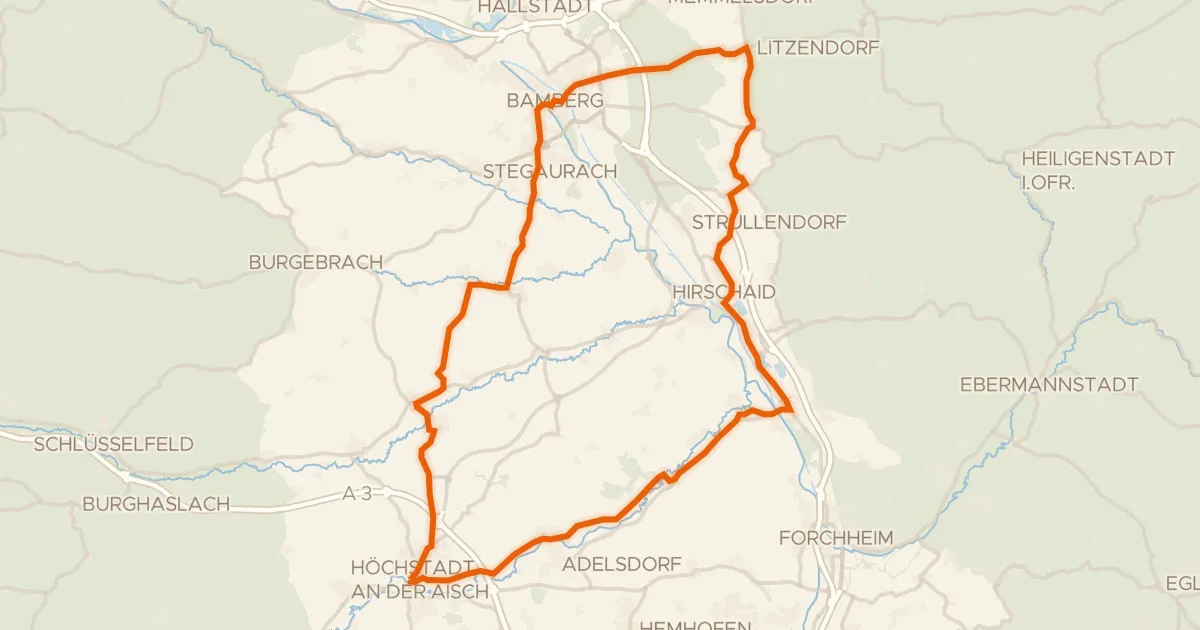
Road bike100% paved
Rondje Schloss Weißenstein en Aisch
75 km↑ 606 m14 km away
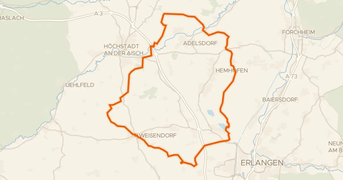
Gravel16% paved
Rondje Aisch en Großer Bischofsweiher
62 km↑ 589 m14 km away
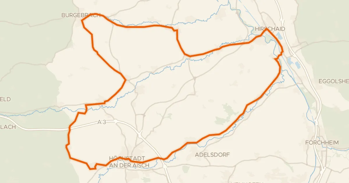
Road bike100% paved
Rondje Schloss Weingartsgreuth en Regnitz
72 km↑ 427 m14 km away
Gravel9% paved
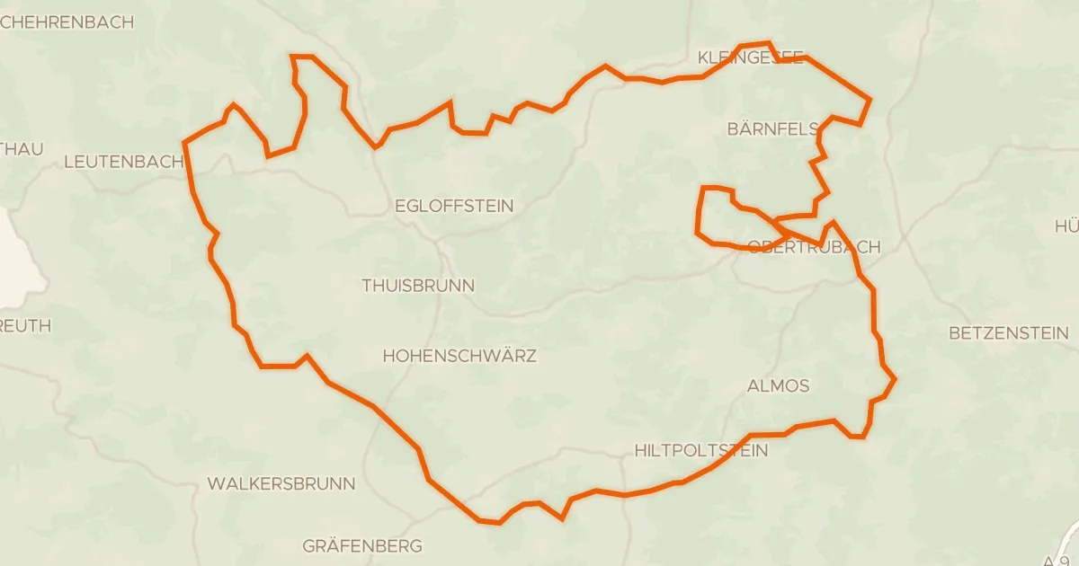
Rondje Burgruine Leienfels en Burgruine Stierberg
61 km↑ 1,280 m18 km away
Gravel21% paved
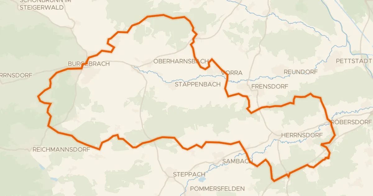
Rondje Naturpark Steigerwald en Reiche Ebrach
57 km↑ 708 m20 km away