Back to the librarykm 0–1km 3–4km 9–11km 11–12km 20–20km 28–29km 38–40km 41–43km 44–45km 45–46km 50–50km 51–52km 56–57km 59–60
GravelRouteCasterRound trip
Rondje Burgruine Leienfels en Burgruine Stierberg
Distance
61 km
Ascent
1,280 m
Highest point
584 m
9% paved
Start from your location
Ride there from home: we find the shortest way to the loop and start the loop from there.
The ride
Roll out of Obertrubach and let the ride unfold through the nature reserve Fränkische Schweiz - Veldensteiner Forst, then into the Wiesent-Tal with its side valleys. Past the castle ruin Stierberg and on to the castle ruin Leienfels, the route keeps climbing and dropping. With 61.2 km and mostly unpaved surface, it's a day that rolls you back to where you started.
Climbs
Climb 1Hill
1 km at 5.3% · max 12.4%
Climb 2Cat. 4
1.4 km at 6.2% · max 16.5%
Climb 3Hill
1.7 km at 4% · max 20.2%
Climb 4Hill
0.5 km at 8.3% · max 17.3%
Climb 5Hill
0.9 km at 3.6% · max 7.7%
Climb 6Hill
0.7 km at 4.3% · max 10.3%
Climb 7Hill
1.8 km at 3.6% · max 15.3%
Climb 8Cat. 3
1.9 km at 11.6% · max 27.5%
Climb 9Hill
0.7 km at 8% · max 13.9%
Climb 10Hill
0.7 km at 6.1% · max 16.7%
Climb 11Hill
0.7 km at 5.7% · max 7.4%
Climb 12Hill
1.1 km at 4.5% · max 11%
Climb 13Cat. 4
1 km at 8.2% · max 17.7%
Climb 14Hill
1.5 km at 3.9% · max 14.2%
Routes nearby
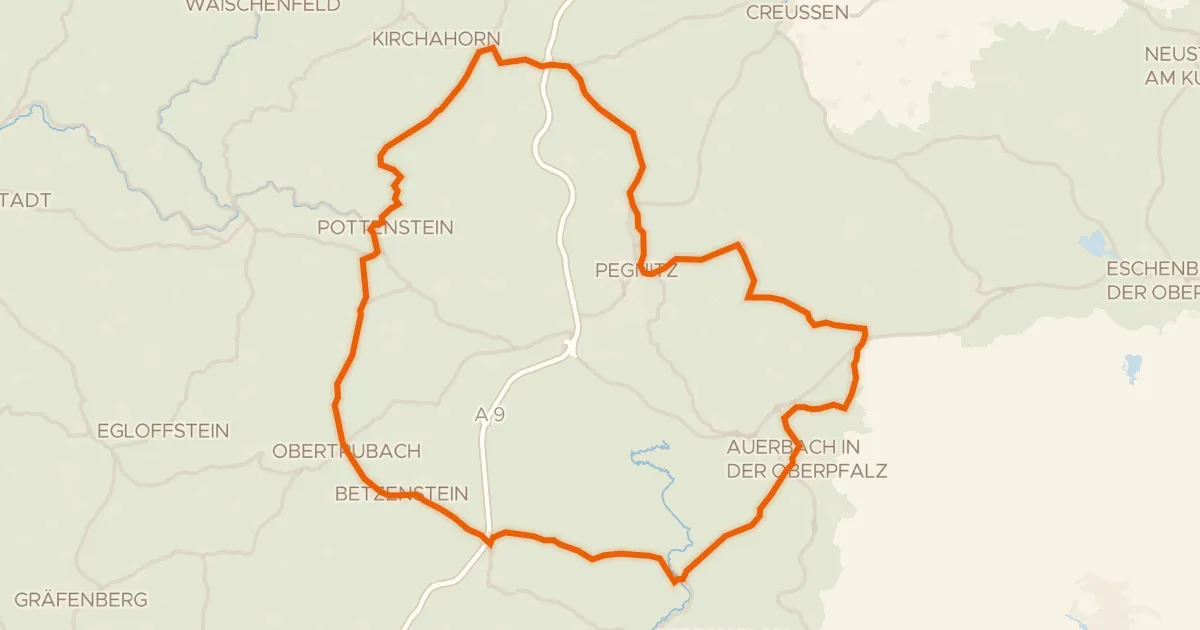
Road bike100% paved
Rondje Burg Pottenstein en Burg Betzenstein
76 km↑ 1,064 m14 km away
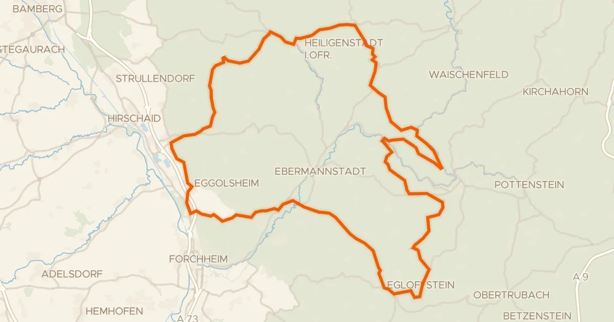
Road bike100% paved
Rondje Schloss Unteraufseß en Burg Egloffstein
94 km↑ 1,501 m16 km away
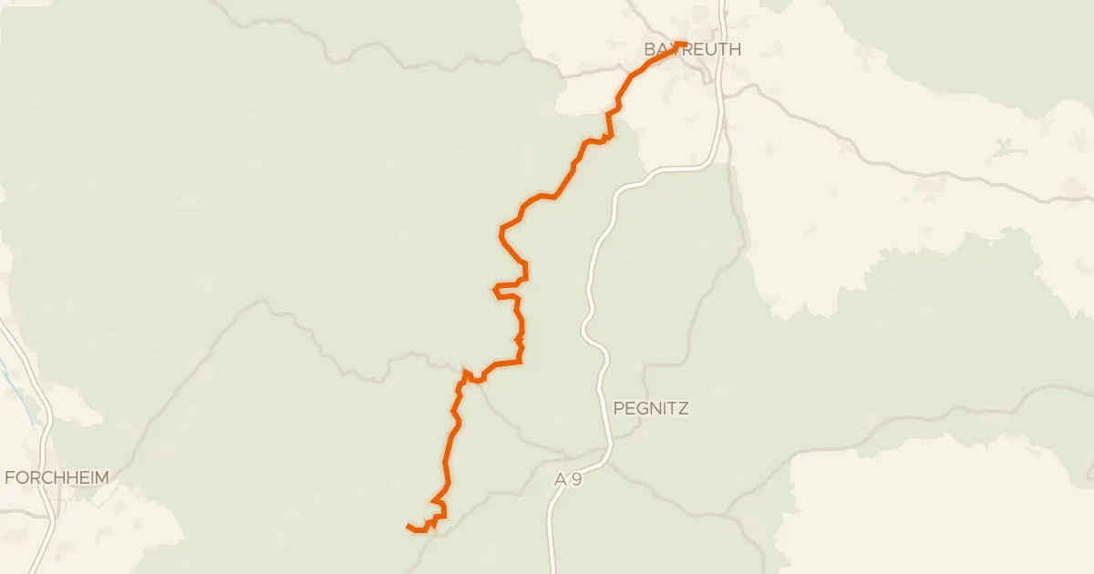
Gravel63% paved
Pottenstein-Radweg
49 km↑ 809 m16 km away
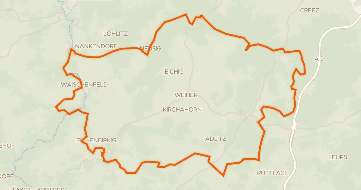
Gravel16% paved
Rondje Burg Waischenfeld en Wiesent
54 km↑ 1,092 m17 km away
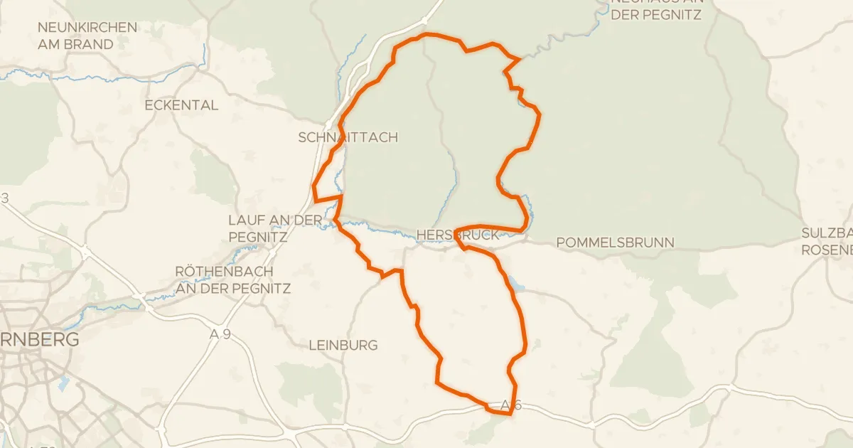
Road bike98% paved
Rondje Schullandheim Schloß Vorra en Schloss Hersbruck
75 km↑ 842 m21 km away
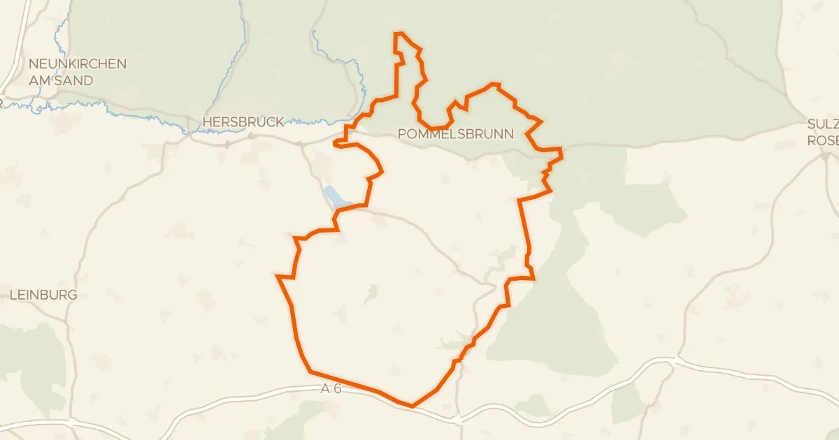
Gravel15% paved
Rondje Lehendorf-Blick en Pegnitz
58 km↑ 1,567 m27 km away