Back to the librarykm 0–7km 9–9km 10–10km 13–15km 16–19km 22–23km 25–26km 33–33km 48–51km 51–52
GravelMade by RouteCasterRound trip
Rondje langs de Zugersee en de Lorze
Distance
58 km
Ascent
2,165 m
Highest point
1,135 m
47% paved
Start from your location
Ride there from home: we find the shortest way to the loop and start the loop from there.
The ride
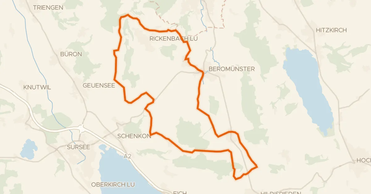
Roll out of Küssnacht am Rigi and follow the Rigiaa river before the route opens onto Zugersee. Climb past Burg Zug castle and dive into the Lorzeninsel forest, then trace the Lorze river onward. Schloss Sankt Andreas and Schloss Freudenberg castles line the way before the loop returns to where it began.
Climbs
Climb 1Cat. 2
6.6 km at 9.5% · max 41.8%
Climb 2Hill
0.1 km at 28.2% · max 28.2%
Climb 3Hill
0.3 km at 12.3% · max 18.5%
Climb 4Cat. 3
1.7 km at 16.2% · max 47.4%
Climb 5Cat. 2
3.7 km at 14.6% · max 38%
Climb 6Hill
1 km at 4.1% · max 15.9%
Climb 7Hill
0.6 km at 9.3% · max 16.2%
Climb 8Hill
0.6 km at 6.6% · max 11.4%
Climb 9Cat. 4
2.8 km at 5.2% · max 24%
Climb 10Cat. 4
0.9 km at 9.5% · max 20.1%
Routes nearby
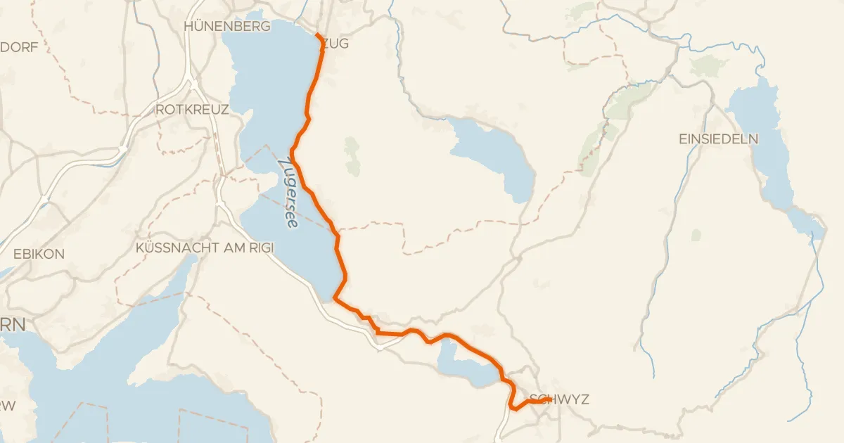
Touring94% paved
Säuliamt-Schwyz
28 km↑ 364 m10 km away
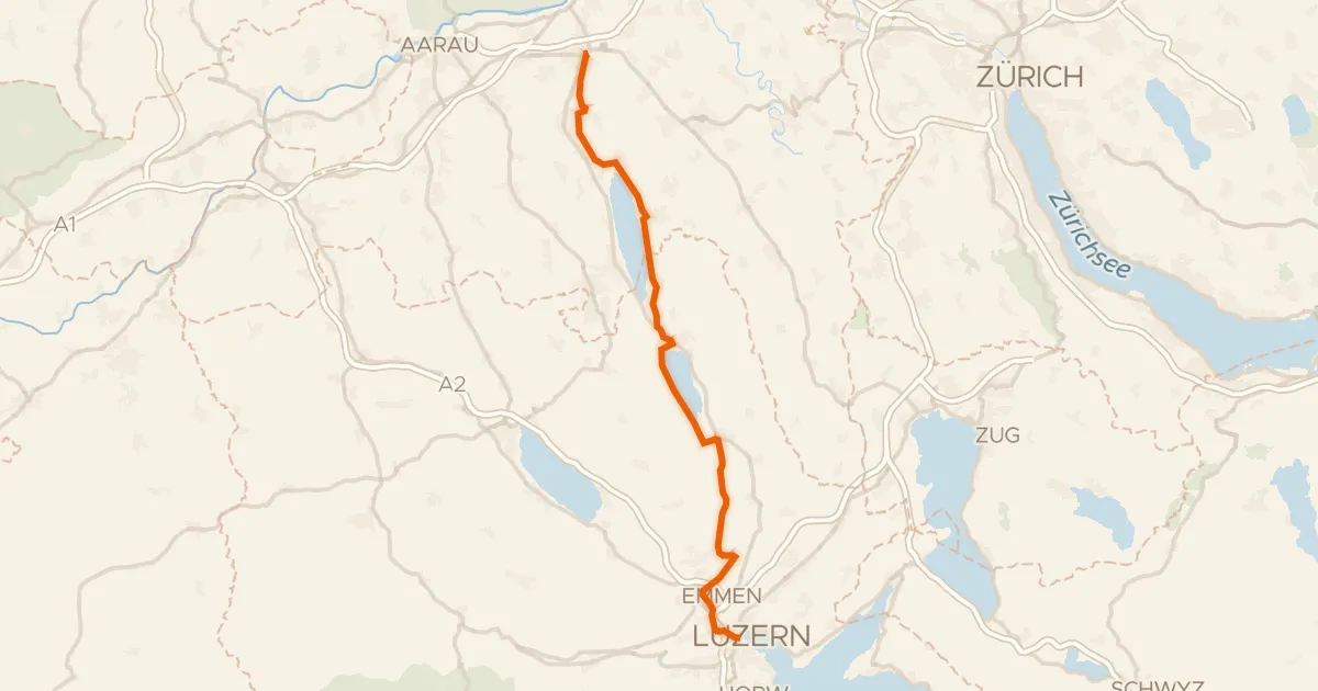
Touring80% paved
Seetal-Bötzberg
50 km↑ 406 m21 km away
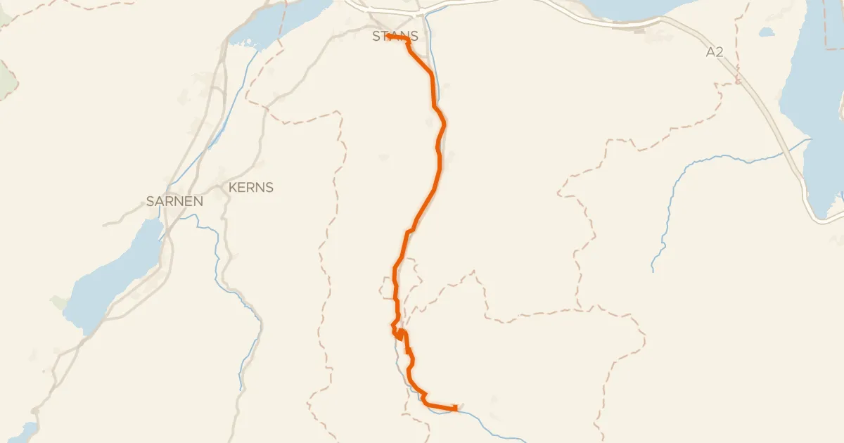
Touring84% paved
Unterwaldenroute
22 km↑ 670 m22 km away
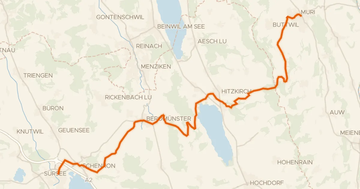
Touring89% paved
Mittelländer Hügelroute
33 km↑ 841 m22 km away

Gravel45% paved
Rondje UNESCO Biosphäre Entlebuch en Kleine Emme
59 km↑ 2,211 m23 km away
Road bike95% paved
Runde Michaelsamt
30 km↑ 439 m23 km away