Back to the librarykm 1–3km 5–6km 7–8km 9–11km 11–14km 15–16km 18–18km 18–20km 20–22km 22–22km 24–25km 27–32km 33–34km 34–36km 39–39km 40–40km 44–44km 45–52km 53–54km 59–59
GravelMade by RouteCasterRound trip
Rondje Lago Brugneto en Trebbia
Distance
63 km
Ascent
3,103 m
Highest point
1,135 m
62% paved
Start from your location
Ride there from home: we find the shortest way to the loop and start the loop from there.
The ride
From Gattorna the route rolls out past the Trebbia river and into the Parco naturale regionale dell'Antola, then on through the Lago Brugneto nature reserve to the lake itself. Of the 63.4 km, a good share runs unpaved, and the climbing adds up to 3103 m along the way. Places come in the order above, and the loop brings you back to Gattorna.
Climbs
Climb 1Cat. 3
2.1 km at 9.4% · max 25.8%
Climb 2Cat. 4
0.9 km at 14.5% · max 31.6%
Climb 3Cat. 3
1.7 km at 13.5% · max 31.9%
Climb 4Cat. 4
1.5 km at 10.3% · max 21.9%
Climb 5Cat. 3
2.9 km at 7.8% · max 40.6%
Climb 6Hill
0.4 km at 8.8% · max 25.2%
Climb 7Hill
0.7 km at 9.7% · max 23.5%
Climb 8Cat. 3
1.3 km at 15.3% · max 49.7%
Colla di MeaHill
1.5 km at 4.7% · max 11.1%
Climb 10Hill
0.4 km at 6.7% · max 12.3%
Passo della ScofferaHill
1.5 km at 5% · max 26.4%
Climb 12Cat. 3
4.9 km at 4% · max 22.1%
Climb 13Cat. 4
0.8 km at 13.3% · max 25.6%
Climb 14Cat. 3
1.4 km at 15.6% · max 24.9%
Climb 15Hill
0.6 km at 13.2% · max 38.1%
Climb 16Hill
0.6 km at 9.8% · max 24%
Climb 17Hill
0.2 km at 14% · max 15%
Passo LarnaiaCat. 2
7.1 km at 6.6% · max 53.6%
Climb 19Hill
0.6 km at 6.2% · max 15.9%
Climb 20Hill
0.3 km at 10.1% · max 14.9%
Routes nearby
Road bike100% paved
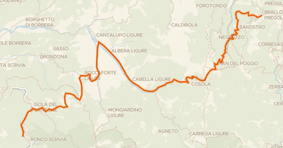
ABT Tappa 3: Ronco Scrivia - Brallo di Pregola
71 km↑ 3,075 m28 km away
Passo del Giovà · Passo del Brallo

Road bike100% paved
Rondje Castello della Pietra en Lago di Vobbietta
80 km↑ 1,546 m33 km away
Road bike100% paved
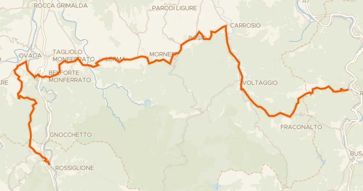
ABT Tappa 2: Rossiglione - Ronco Scrivia
56 km↑ 1,434 m37 km away
Passo della Castagnola
Road bike100% paved
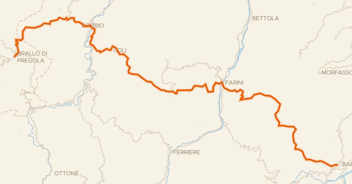
ABT Tappa 4: Brallo di Pregola - Bardi
81 km↑ 2,288 m40 km away
Passo Vallette di Ceci · Sella dei Generali

Road bike100% paved
Rondje Castello Malaspina en Torrente Staffora
76 km↑ 1,379 m42 km away

Road bike100% paved
Rondje Castello di Bardi en Taro
70 km↑ 1,586 m42 km away