Back to the librarykm 0–6km 7–9km 9–10km 18–19km 21–22km 24–27km 31–32km 33–43km 59–60
Road bikeMade by RouteCasterRound trip
Rondje Castello di Bardi en Taro
Distance
70 km
Ascent
1,586 m
Highest point
939 m
100% paved
Start from your location
Ride there from home: we find the shortest way to the loop and start the loop from there.
The ride
Roll out of Bedonia and follow the route past the Torrente Ceno river, then on to the castles of Pietracervara, Bardi and Borgo Val di Taro. The Taro river comes next, and the Castello di Compiano rounds out the ride before you head back to Bedonia. Along the way you'll climb a total of 1586 m, and every metre of the 70.2 km is paved.
Climbs
Passo MontevaccàCat. 3
5.9 km at 5% · max 17.9%
Climb 2Hill
1.5 km at 3.8% · max 20.3%
Climb 3Hill
0.8 km at 3.4% · max 13.9%
Climb 4Hill
0.8 km at 5.8% · max 14.4%
Climb 5Hill
1.6 km at 4.3% · max 14.2%
Climb 6Cat. 4
2.3 km at 3.8% · max 15.1%
Climb 7Hill
1 km at 3.7% · max 5.9%
Passo Santa DonnaCat. 2
9.9 km at 5.2% · max 17.6%
Climb 9Cat. 4
1 km at 8.4% · max 19%
Routes nearby
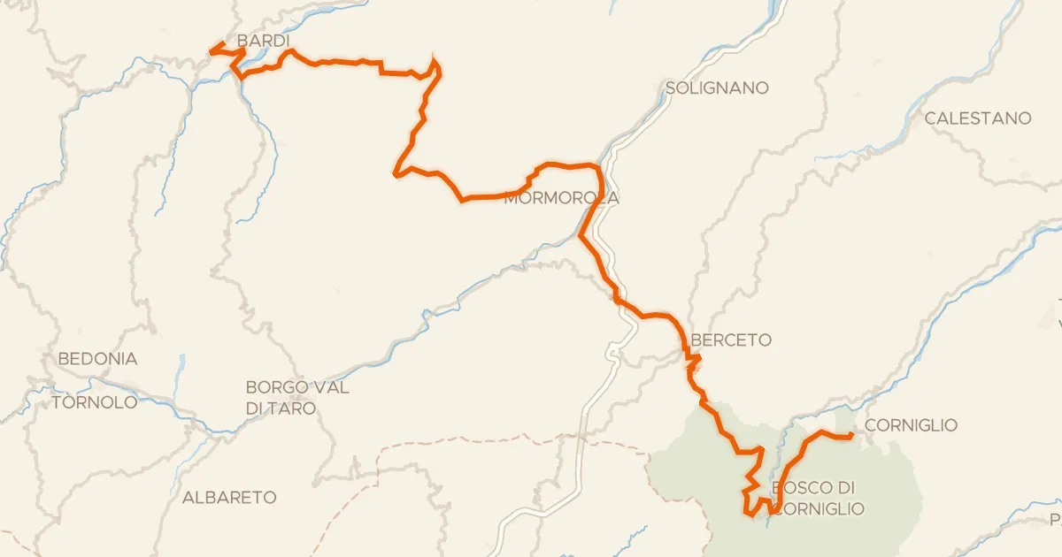
Road bike100% paved
ABT Tappa 5: Bardi - Corniglio
79 km↑ 2,257 m22 km away
Passo del Silara di Marra
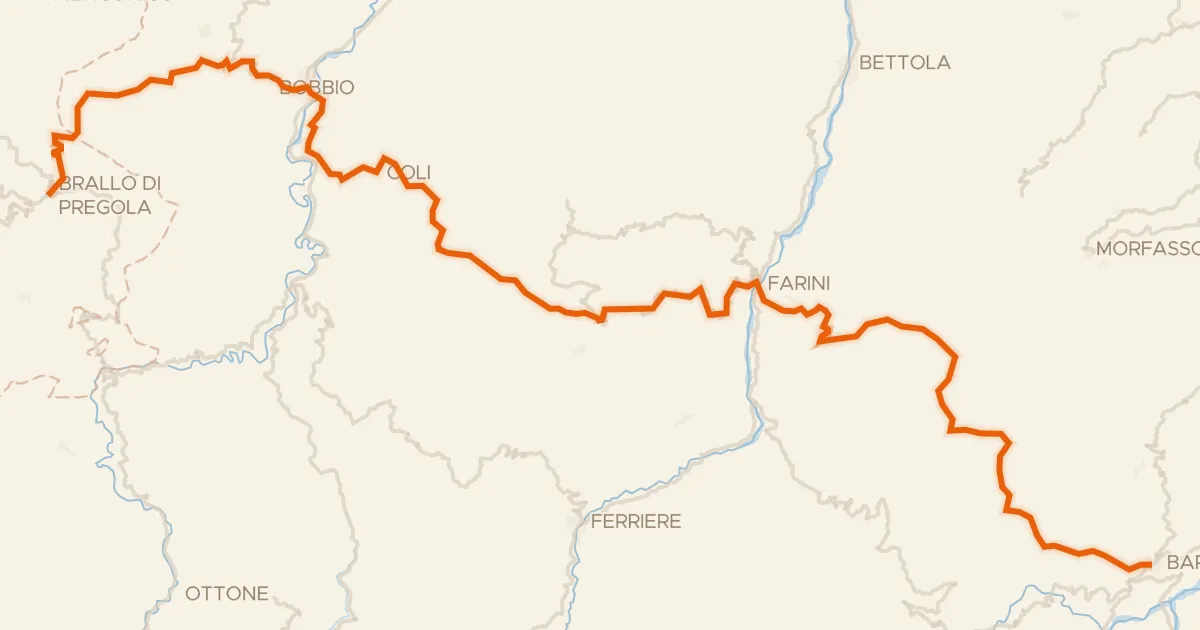
Road bike100% paved
ABT Tappa 4: Brallo di Pregola - Bardi
81 km↑ 2,288 m24 km away
Passo Vallette di Ceci · Sella dei Generali
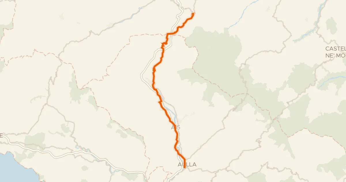
Road bike99% paved
Ciclovia Francigena - VFB11
51 km↑ 755 m29 km away
Passo del Righetto · Passo della Cisa

Gravel53% paved
Rondje Torre dell'orologio en Fiume Vara
52 km↑ 2,488 m32 km away
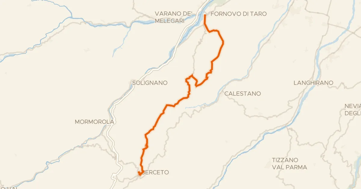
Road bike100% paved
Ciclovia Francigena - VFB10
35 km↑ 1,147 m36 km away
Sella di Monte Marino · Passo di Monte Cassio

Gravel62% paved
Rondje Lago Brugneto en Trebbia
63 km↑ 3,103 m36 km away