Back to the librarykm 0–5km 11–16km 19–23km 24–27km 36–37km 43–45km 64–74km 75–75
Road bikeMade by RouteCasterRound trip
Rondje Lac de l'Embouteilleux en La Bienne
Distance
75 km
Ascent
1,606 m
Highest point
1,407 m
98% paved
Start from your location
Ride there from home: we find the shortest way to the loop and start the loop from there.
The ride
Roll out of Les Bouchoux and let the climbing begin: 1606 m of elevation gain over 75.1 km, with 98% paved and 2% unpaved. The route drops past Lac de l'Embouteilleux, then follows La Bienne, Le Flumen and Le Tacon, each river ticking off another valley. Climb, descend, repeat, and roll back into Les Bouchoux where you started.
Climbs
Climb 1Cat. 3
5.3 km at 4.7% · max 20.3%
Climb 2Cat. 4
4.6 km at 3.2% · max 13.9%
Climb 3Cat. 4
4.4 km at 3.2% · max 8.5%
Climb 4Cat. 4
3.4 km at 3.4% · max 14.2%
Climb 5Hill
1.1 km at 3.2% · max 11.6%
Climb 6Hill
1.6 km at 4.1% · max 7.5%
Climb 7Cat. 2
10 km at 5.4% · max 29.2%
Climb 8Hill
0.3 km at 14.8% · max 18.3%
Routes nearby
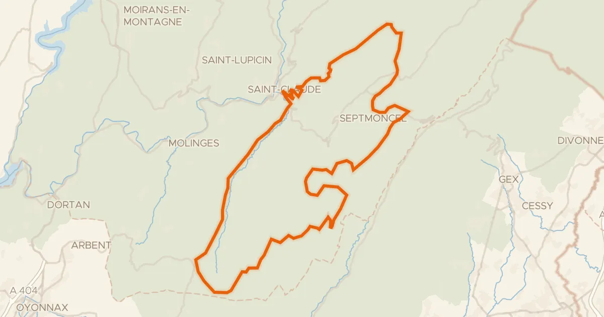
Road bike100% paved
Boucle 8 : Saint-Claude-Hautes Combes
73 km↑ 1,789 m7 km away
Col de la Croix de la Serra · Col de Sur la Semine

Gravel28% paved
Rondje Château d'Arcine en La Laire
64 km↑ 2,101 m18 km away

Gravel22% paved
Rondje La Sarsouille en L'Oignin
54 km↑ 1,651 m19 km away
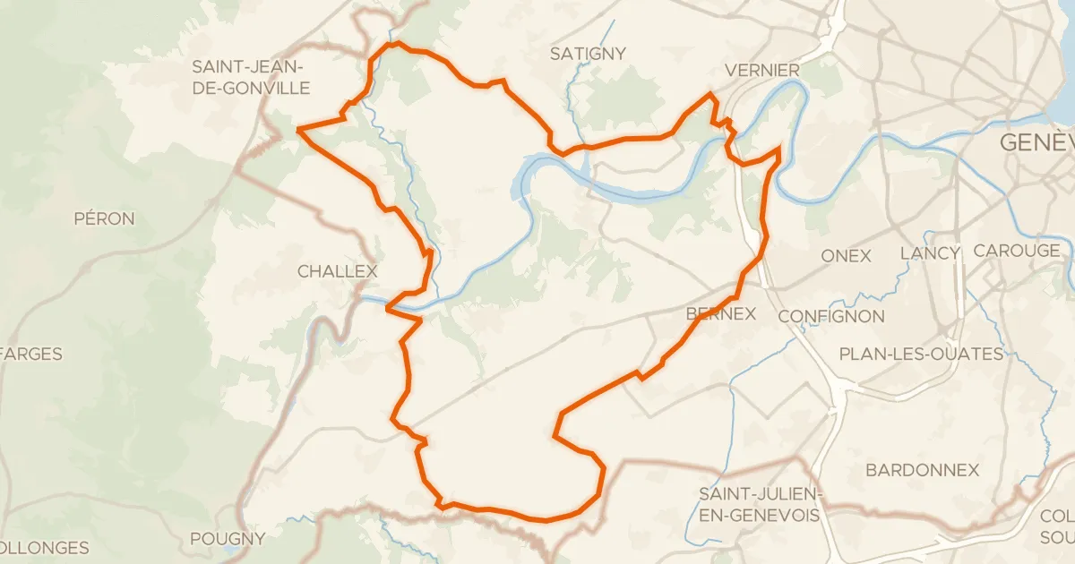
Road bike100% paved
Route du Vignoble genevois
36 km↑ 518 m21 km away

Road bike100% paved
Rondje Lac de Conflans en Le Suran
75 km↑ 1,138 m26 km away
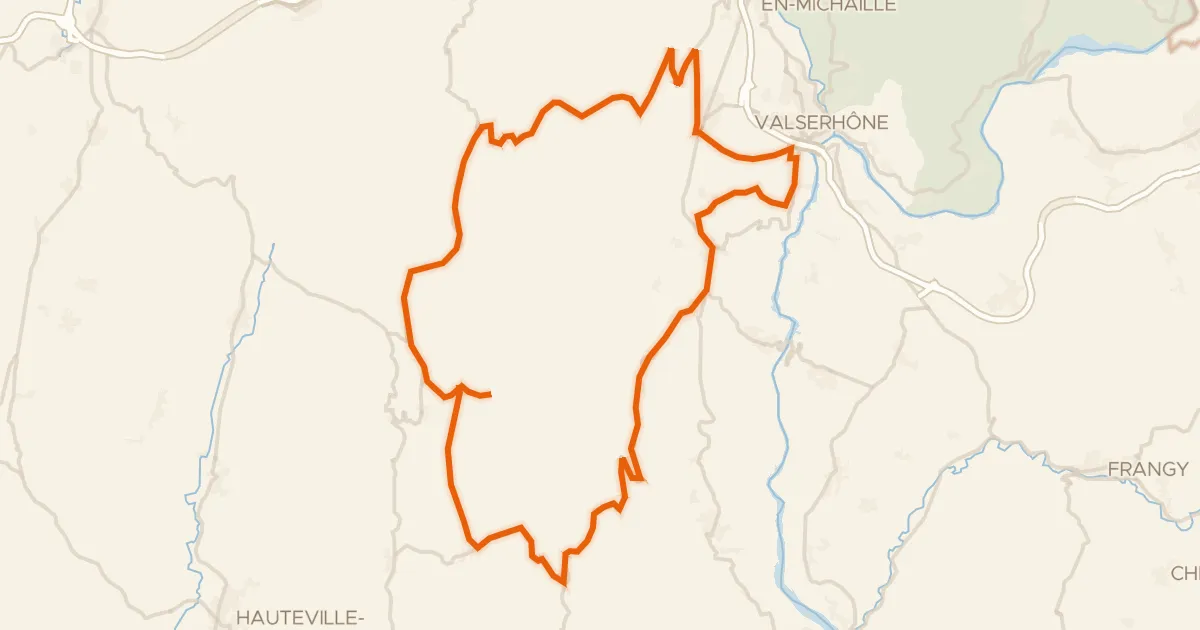
Road bike100% paved
L'Ain à vélo - Le Plateau de Retord, la Nature par excellence
60 km↑ 1,423 m27 km away
Col de Cuvéry · Col de Richemond