Back to the librarykm 1–4km 12–21km 24–26km 26–27km 32–37km 38–43km 44–45km 47–48km 50–51
GravelMade by RouteCasterRound trip
Rondje La Sarsouille en L'Oignin
Distance
54 km
Ascent
1,651 m
Highest point
1,032 m
22% paved
Start from your location
Ride there from home: we find the shortest way to the loop and start the loop from there.
The ride
Roll out of Nantua and the climbing starts early: 1651 m of elevation gain lies ahead. The route mixes 22% paved with 78% unpaved as it follows the Le Merloz river out of town. Onward past the L'Oignin and L'Ange rivers, then the Sarsouille, before the road turns you back toward Nantua. A loop that keeps the rivers coming and the legs working.
Climbs
Climb 1Cat. 3
3.3 km at 9.1% · max 55.3%
Climb 2Cat. 2
9 km at 3.7% · max 37.8%
Climb 3Cat. 4
2 km at 5.9% · max 12%
Climb 4Hill
0.5 km at 6.7% · max 11.6%
Climb 5Cat. 2
5.3 km at 6.9% · max 32.2%
Climb 6Cat. 3
4.7 km at 4.6% · max 31.3%
Climb 7Hill
1 km at 5.2% · max 11.3%
Climb 8Hill
0.8 km at 5.6% · max 13%
Climb 9Hill
0.8 km at 5.3% · max 12%
Routes nearby
Road bike100% paved
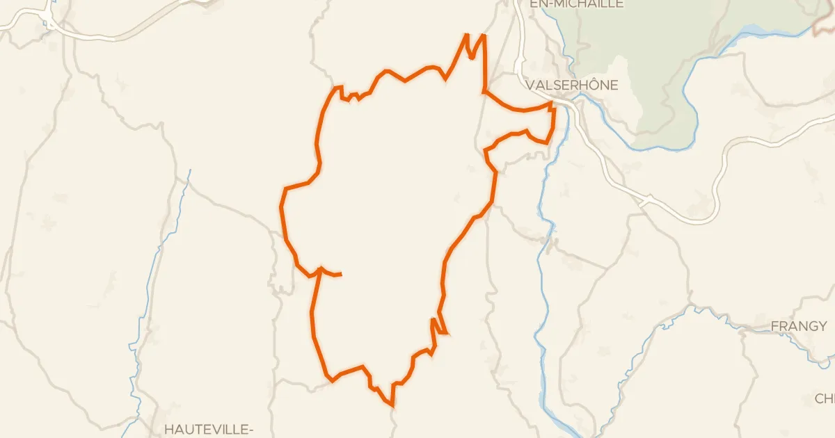
L'Ain à vélo - Le Plateau de Retord, la Nature par excellence
60 km↑ 1,423 m15 km away
Col de Cuvéry · Col de Richemond

Road bike100% paved
Rondje Lac de Conflans en Le Suran
75 km↑ 1,138 m22 km away

Gravel28% paved
Rondje Château d'Arcine en La Laire
64 km↑ 2,101 m25 km away
Road bike100% paved
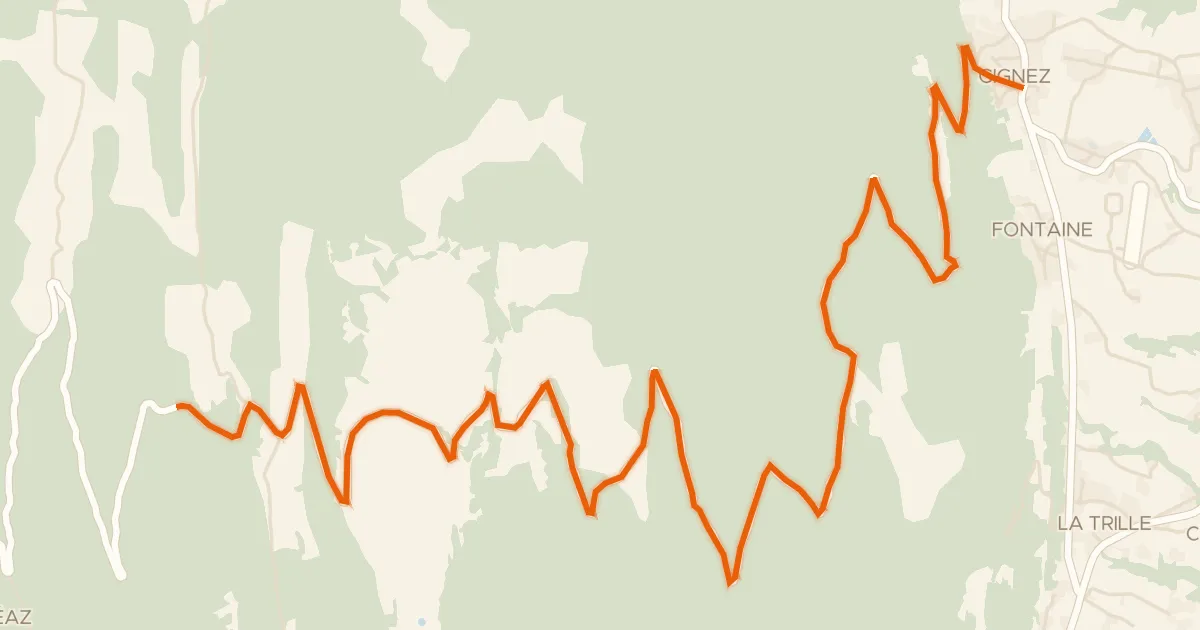
Col de la Biche depuis Gignez
13 km↑ 1,031 m26 km away
Golet des Faies · Croix de Famban

Road bike100% paved
Rondje Château de Quinsonnas en Le Rhône
78 km↑ 1,225 m27 km away

Road bike99% paved
Rondje Château d'Andelot en Le Suran
80 km↑ 774 m28 km away