Back to the librarykm 12–30km 33–34km 38–38km 45–50km 51–53
GravelMade by RouteCasterRound trip
Rondje Château d'Arcine en La Laire
Distance
64 km
Ascent
2,101 m
Highest point
1,366 m
28% paved
Start from your location
Ride there from home: we find the shortest way to the loop and start the loop from there.
The ride
From Chancy the route rolls out toward the Parc naturel régional du Haut-Jura, then on past the Réserve naturelle de la haute chaîne du Jura. Along the way you meet Le Rhône and later the Château d'Arcine, with the La Laire flowing nearby before the loop brings you back to Chancy. It's 64.2 km with 2101 m of climbing, mostly unpaved, so expect a varied day in the saddle.
Climbs
Col du SacHC
18.2 km at 5.3% · max 31.7%
Climb 2Hill
0.7 km at 5.1% · max 14.9%
Climb 3Cat. 4
0.7 km at 21.4% · max 33.1%
Climb 4Cat. 3
4.8 km at 4.3% · max 23.7%
Climb 5Cat. 2
1.9 km at 18.6% · max 58.2%
Routes nearby
Road bike100% paved
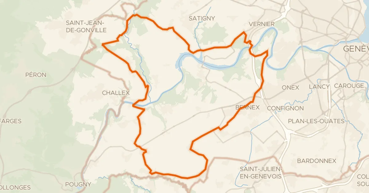
Route du Vignoble genevois
36 km↑ 518 m6 km away
Road bike100% paved
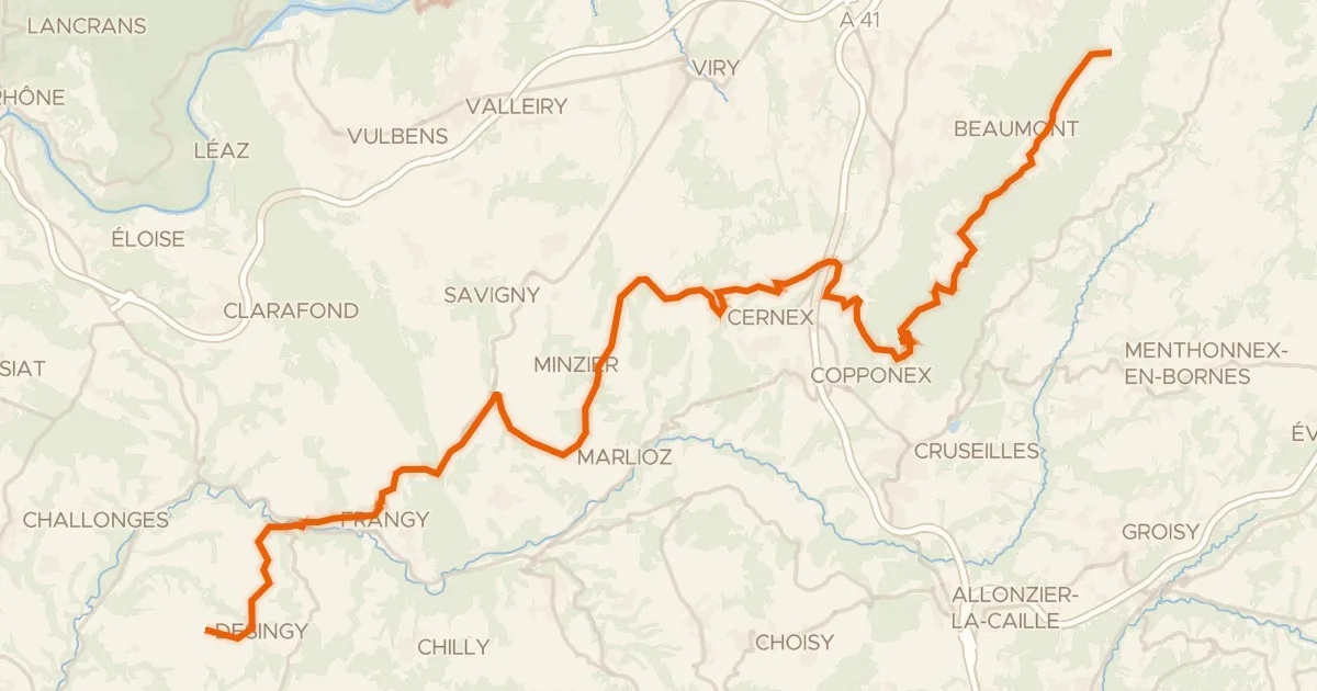
P'tites Routes du Soleil, étape 3, La Muraz / Desingy
44 km↑ 690 m11 km away
Col de la Croisette · Col du Mont Sion
Road bike100% paved
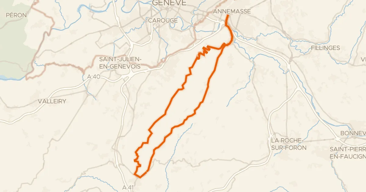
Circuit du Salève
57 km↑ 1,456 m16 km away
Col de la Croisette · Col des Pitons
Road bike100% paved
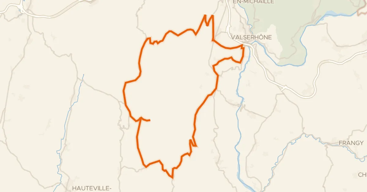
L'Ain à vélo - Le Plateau de Retord, la Nature par excellence
60 km↑ 1,423 m20 km away
Col de Cuvéry · Col de Richemond

Road bike100% paved
Rondje Château de Promery en Le Fier
99 km↑ 1,691 m21 km away
Road bike100% paved
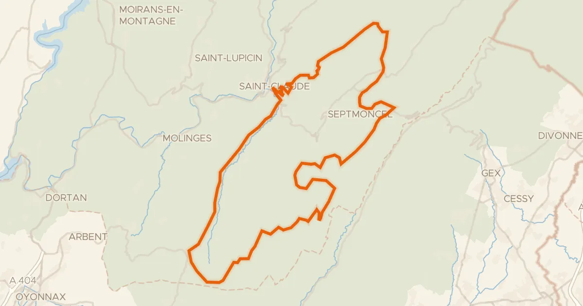
Boucle 8 : Saint-Claude-Hautes Combes
73 km↑ 1,789 m23 km away
Col de la Croix de la Serra · Col de Sur la Semine