Back to the librarykm 6–8km 17–20km 64–65km 67–70km 73–74km 78–82km 84–87km 90–99
Road bikeMade by RouteCasterRound trip
Rondje Château de Promery en Le Fier
Distance
99 km
Ascent
1,691 m
Highest point
790 m
100% paved
Start from your location
Ride there from home: we find the shortest way to the loop and start the loop from there.
The ride
From Cruseilles, this 99.1 km loop rolls out past the castle of Groisy and follows the Fillière river before the castle of La Cour appears. On you go along the Bief canal and the Fier river, then past the castle of Promery. The Usses river and the castle of Marlioz round off the ride before the road brings you home to Cruseilles. Every metre is paved, with 1691 m of climbing along the way.
Climbs
Climb 1Hill
2.3 km at 3.3% · max 12.6%
Climb 2Cat. 4
3.5 km at 4.5% · max 13.8%
Climb 3Hill
1.3 km at 3.3% · max 17.2%
Climb 4Cat. 4
3.2 km at 3.3% · max 10.8%
Climb 5Hill
0.9 km at 3.3% · max 13.4%
Climb 6Cat. 3
3.9 km at 4.4% · max 9.6%
Climb 7Cat. 4
2.9 km at 3.1% · max 8.6%
Climb 8Cat. 2
9.4 km at 4% · max 12.7%
Routes nearby
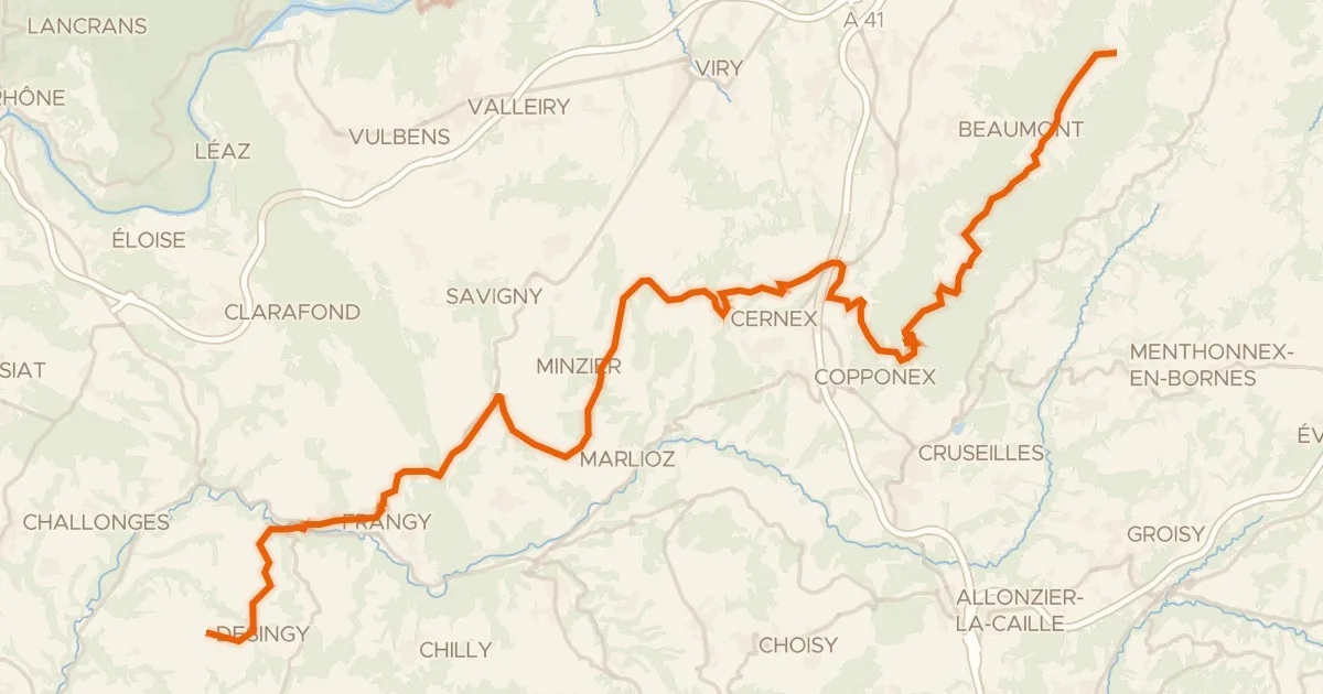
Road bike100% paved
P'tites Routes du Soleil, étape 3, La Muraz / Desingy
44 km↑ 690 m6 km away
Col de la Croisette · Col du Mont Sion
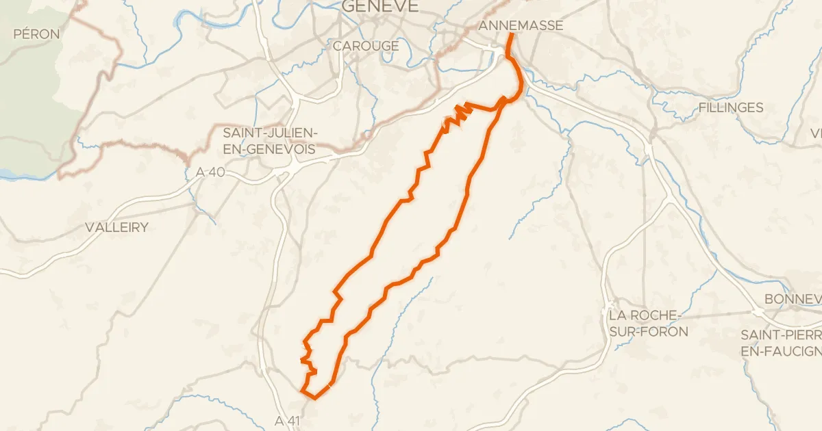
Road bike100% paved
Circuit du Salève
57 km↑ 1,456 m10 km away
Col de la Croisette · Col des Pitons
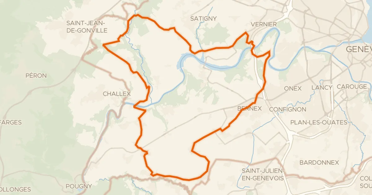
Road bike100% paved
Route du Vignoble genevois
36 km↑ 518 m17 km away

Gravel28% paved
Rondje Château d'Arcine en La Laire
64 km↑ 2,101 m19 km away
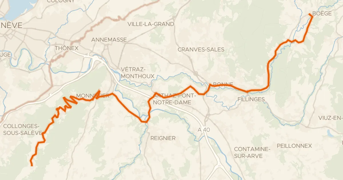
Road bike100% paved
P'tites Routes du Soleil, étape 2, Boëge / La Muraz
36 km↑ 1,084 m20 km away
Col de la Croisette

Road bike100% paved
Rondje Château d'Arcine en L'Arve
75 km↑ 1,657 m25 km away