Back to the librarykm 8–9km 9–10km 18–25km 49–50km 61–63km 64–66
Road bikeMade by RouteCasterRound trip
Rondje Lac de Conflans en Le Suran
Distance
75 km
Ascent
1,138 m
Highest point
547 m
100% paved
Start from your location
Ride there from home: we find the shortest way to the loop and start the loop from there.
The ride
Roll out of Arinthod and let the route carry you along the L'Ain, then the Valouse, before the water opens up at Lac de Conflans. Just beyond it stands the Château de Conflans, and further on the road follows the Suran. With 74.8 km and 1138 m of climbing, all of it paved, you wind your way back to where you started.
Climbs
Climb 1Hill
1.1 km at 3.1% · max 17.6%
Climb 2Hill
0.6 km at 5.1% · max 6.7%
Climb 3Cat. 3
7 km at 3.6% · max 13.3%
Climb 4Hill
1.8 km at 3.6% · max 11.4%
Climb 5Hill
1.7 km at 3.3% · max 7.6%
Climb 6Cat. 4
1.3 km at 8.9% · max 13%
Routes nearby

Road bike99% paved
Rondje Château d'Andelot en Le Suran
80 km↑ 774 m20 km away

Gravel22% paved
Rondje La Sarsouille en L'Oignin
54 km↑ 1,651 m21 km away

Road bike100% paved
Rondje Château de Persanges en Réserve de Mancy
95 km↑ 919 m23 km away

Gravel21% paved
Rondje Château de Mérona en La Sorne
58 km↑ 1,473 m24 km away
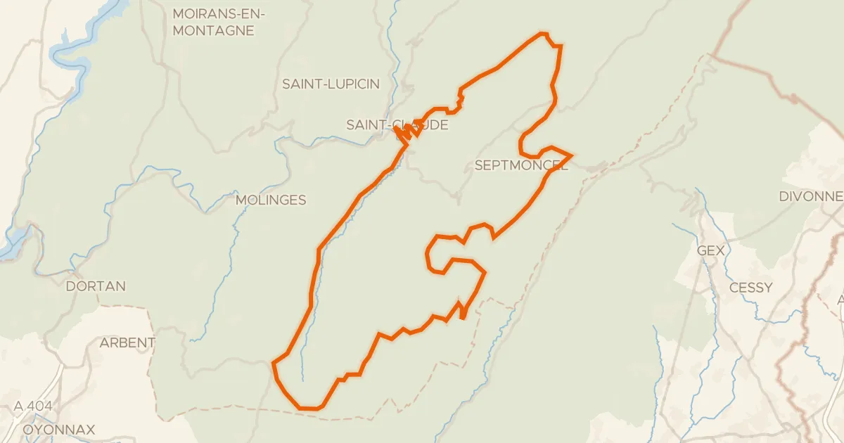
Road bike100% paved
Boucle 8 : Saint-Claude-Hautes Combes
73 km↑ 1,789 m25 km away
Col de la Croix de la Serra · Col de Sur la Semine

Road bike98% paved
Rondje Lac de l'Embouteilleux en La Bienne
75 km↑ 1,606 m28 km away