Back to the librarykm 0–1km 2–2km 6–7km 40–43km 43–47km 47–51
Road bikeMade by RouteCasterRound trip
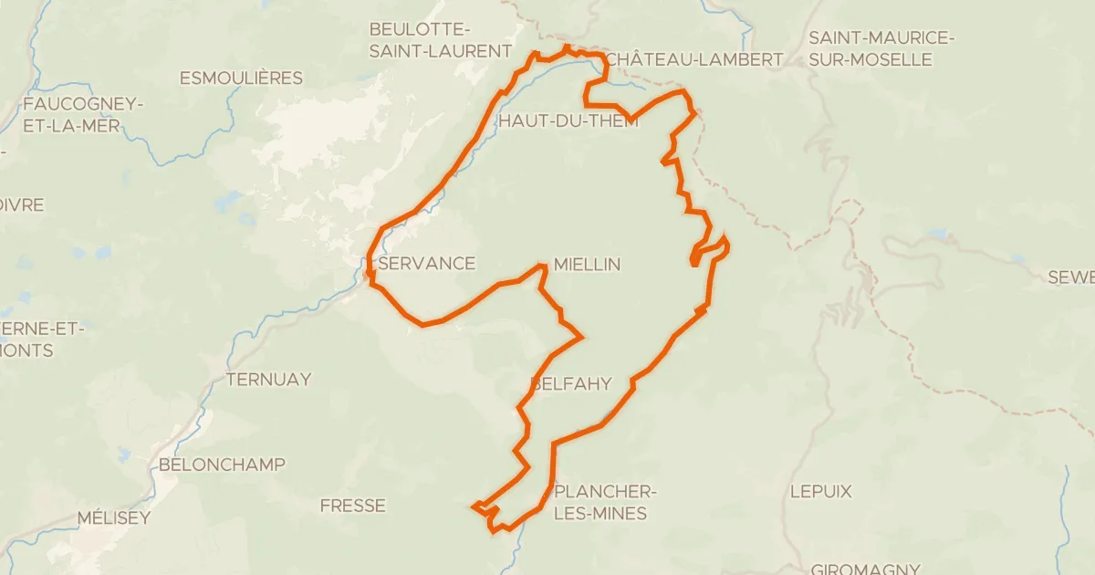
Rondje La Savoureuse en Le Rahin
Distance
76 km
Ascent
1,070 m
Highest point
923 m
100% paved
Start from your location
Ride there from home: we find the shortest way to the loop and start the loop from there.
The ride
From Valdoie the road follows the Savoureuse river out of town, then rolls into the Ballons des Vosges regional nature park. Next comes the Rahin river, and the loop turns for home past the Ballons Comtois nature reserve. It's 75.7 km, all of it paved and none of it unpaved, with 1070 m of climbing along the way.
Climbs
Climb 1Hill
1.2 km at 3.8% · max 15.8%
Climb 2Hill
0.8 km at 4.3% · max 7.8%
Climb 3Hill
1 km at 3.6% · max 15.9%
Climb 4Cat. 4
2.4 km at 3.5% · max 10.2%
Climb 5Cat. 4
3.6 km at 3.4% · max 12.1%
Col des ChevrèresCat. 2
3.7 km at 9.5% · max 20%
Routes nearby

Gravel25% paved
Rondje La Bourbeuse en La Madeleine
63 km↑ 499 m14 km away
Road bike100% paved
Boucle des Belles Filles
51 km↑ 1,357 m17 km away
Col des Croix · Col des Chevrères

Gravel47% paved
Rondje Tour de Milandre en La Savoureuse
61 km↑ 741 m19 km away

Gravel13% paved
Langs de La Moselle en het Canal
60 km↑ 2,046 m20 km away

Gravel41% paved
Rondje Le Doubs en L'Allan
57 km↑ 1,228 m24 km away

Road bike100% paved
Rondje Château de Porrentruy en L'Allaine
72 km↑ 775 m25 km away