Back to the librarykm 0–6km 10–12km 17–19km 27–33km 34–35km 35–39km 40–40km 42–44km 45–48km 53–54km 54–55km 56–57
GravelMade by RouteCasterRound trip
Langs de La Moselle en het Canal
Distance
60 km
Ascent
2,046 m
Highest point
970 m
13% paved
Start from your location
Ride there from home: we find the shortest way to the loop and start the loop from there.
The ride
Roll out of Le Thillot and follow the Moselle river before the route picks up the canal and heads into the Parc naturel régional des Ballons des Vosges. From there the ride continues into the Réserve naturelle des Ballons Comtois, climbing all the way. With 2046 m of elevation gain across 60.3 km, most of it unpaved, the day keeps you working. The loop then brings you back to Le Thillot.
Climbs
Climb 1Cat. 3
5.2 km at 5.1% · max 21.3%
Climb 2Cat. 4
1.8 km at 5.3% · max 14.9%
Climb 3Cat. 4
2 km at 6.2% · max 20.3%
Climb 4Cat. 2
5.4 km at 8.2% · max 23.4%
Climb 5Hill
0.7 km at 8.5% · max 13.4%
Climb 6Cat. 3
4.3 km at 5.3% · max 19.5%
Climb 7Hill
0.4 km at 11.3% · max 15%
Climb 8Cat. 4
1.6 km at 7.6% · max 23.5%
Climb 9Cat. 3
3.3 km at 7.2% · max 32.6%
Climb 10Hill
0.7 km at 8.6% · max 23.4%
Climb 11Cat. 4
0.8 km at 15% · max 23.5%
Climb 12Hill
0.8 km at 7% · max 12.5%
Routes nearby
Road bike100% paved
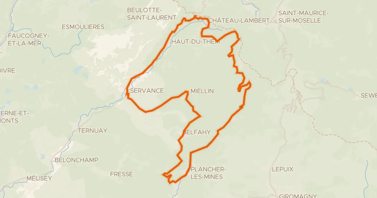
Boucle des Belles Filles
51 km↑ 1,357 m8 km away
Col des Croix · Col des Chevrères

Gravel19% paved
Rondje Château de Saulxures en La Moselotte
59 km↑ 2,301 m10 km away
Road bike100% paved
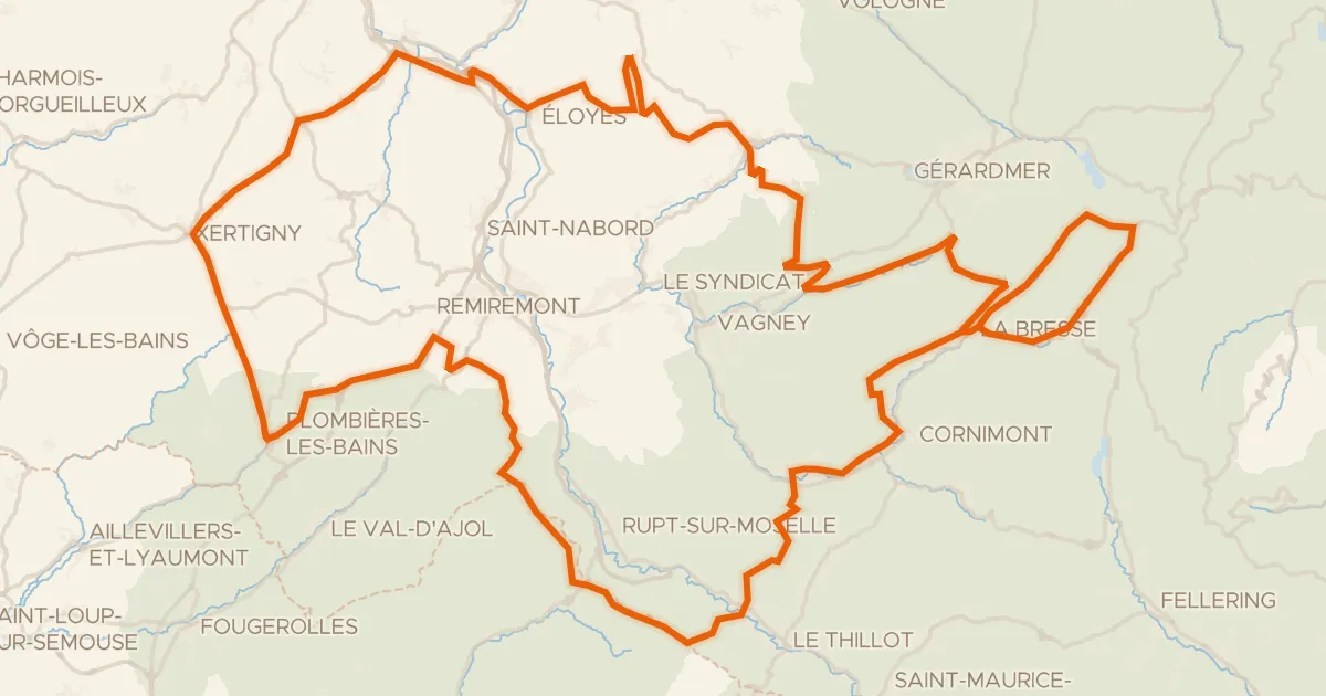
Granfondo Vosges
181 km↑ 3,780 m14 km away
Col des Feignes sous Vologne · Col de Bonnefontaine

Road bike100% paved
Rondje La Savoureuse en Le Rahin
76 km↑ 1,070 m16 km away
Road bike100% paved
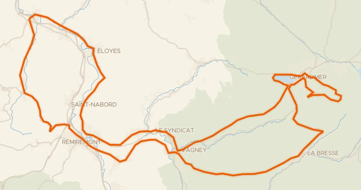
La route des 4 cols
117 km↑ 2,059 m20 km away
Col de la Croix des Moinats · Col de Sapois

Gravel25% paved
Rondje La Moselle en La Moselotte
64 km↑ 1,624 m22 km away