Back to the library
Road bikeMade by RouteCasterRound trip
Rondje Château de Porrentruy en L'Allaine
Distance
72 km
Ascent
775 m
Highest point
615 m
100% paved
Start from your location
Ride there from home: we find the shortest way to the loop and start the loop from there.
The ride
Roll out of Porrentruy and follow the Allaine river before the road climbs to the Creugenat. Castles stack up along the way, from the Château de Porrentruy to the Fort de Blamont, with the Bibliothèque Municipale Janusz Korczak and Château Sattler close behind. The Savoureuse and the Allan rivers carry you onward, and 72.2 km later you're back where you started.
Routes nearby

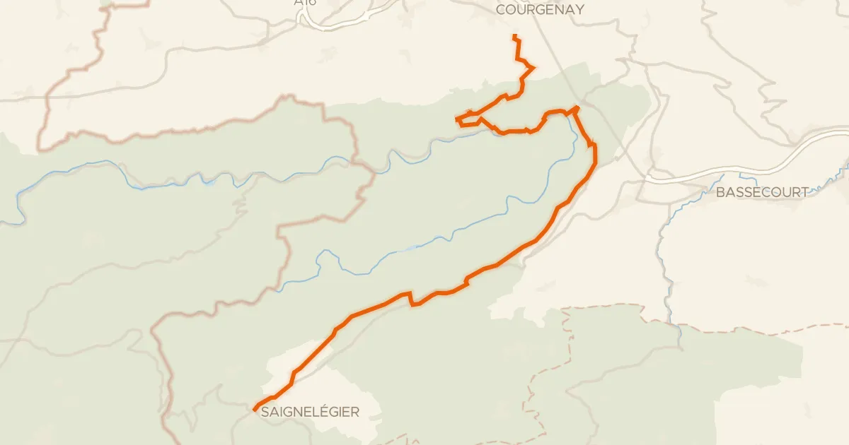
Gravel19% paved
Rondje Parc du Doubs en L'Allaine
59 km↑ 1,643 m1 km away
Touring91% paved
Route du Jura
36 km↑ 1,156 m10 km away
Col de la Croix

Road bike100% paved
Rondje Parc du Doubs en Parc régional Chasseral
70 km↑ 1,723 m12 km away
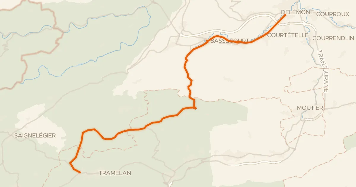
Road bike100% paved
Basel–Franches-Montagnes
36 km↑ 919 m17 km away

Road bike100% paved
Rondje Château de Miécourt en L'Ill
81 km↑ 935 m21 km away

Gravel26% paved
Rondje Ruine de Spiegelberg en Le Doubs
63 km↑ 1,905 m23 km away