Back to the librarykm 9–15km 22–23km 23–24km 25–25km 33–35
Road bikeMade by RouteCasterRound trip
Rondje Château de Miécourt en L'Ill
Distance
81 km
Ascent
935 m
Highest point
651 m
100% paved
Start from your location
Ride there from home: we find the shortest way to the loop and start the loop from there.
The ride
From Biederthal you roll out on a route of 80.5 km, all of it paved. First up are the Ruines du Château de Blochmont, then the La Lucelle river and the Étang de Lucelle lake. On you go past the Château de Miécourt and along the Largue and L'Ill rivers, with 935 m of climbing along the way. Then it's back to Biederthal to close the loop.
Climbs
Climb 1Cat. 3
5.5 km at 3.2% · max 15.2%
Climb 2Hill
0.9 km at 3.2% · max 9%
Climb 3Hill
1 km at 3.7% · max 8.4%
Climb 4Hill
0.4 km at 12.5% · max 29.4%
Climb 5Hill
1.2 km at 3.3% · max 8.9%
Routes nearby

Gravel32% paved
Rondje Ruine Frohberg en Rhein
78 km↑ 1,581 m8 km away
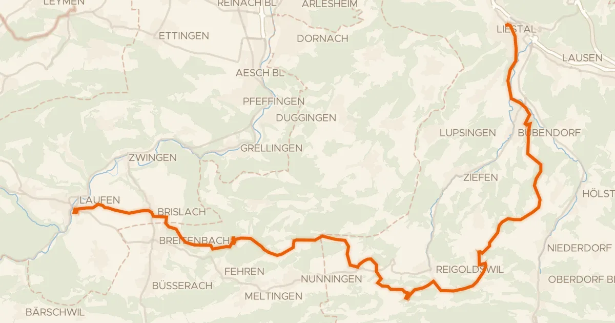
Touring83% paved
Chirsi-Route
38 km↑ 1,093 m14 km away
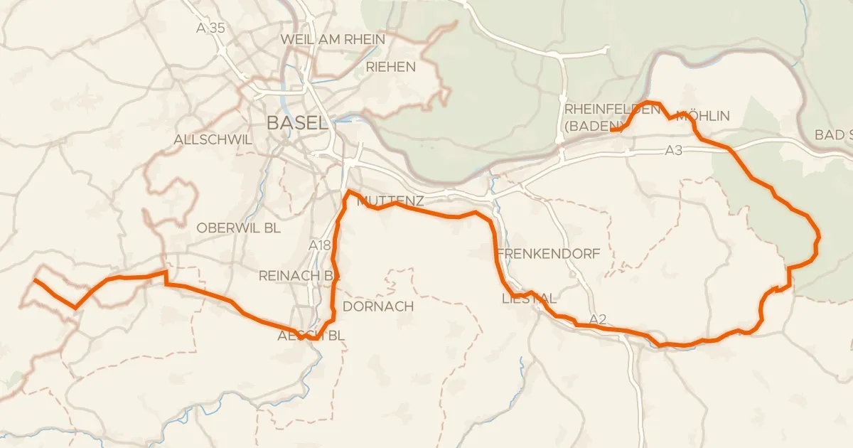
Road bike96% paved
Dreiland-Radweg (schweizer Abschnitt)
73 km↑ 779 m18 km away
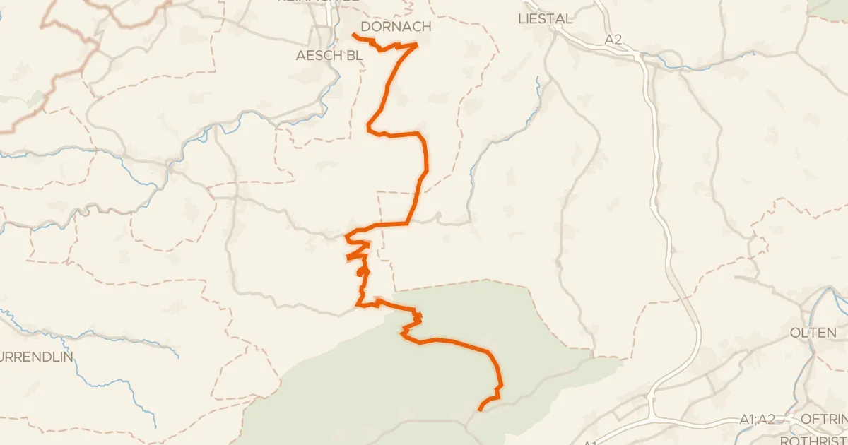
Road bike100% paved
Passwang–Oberaargau
43 km↑ 1,327 m18 km away

Road bike99% paved
Rondje Ruine Hilsenstein en Naturpark Thal
89 km↑ 2,501 m21 km away
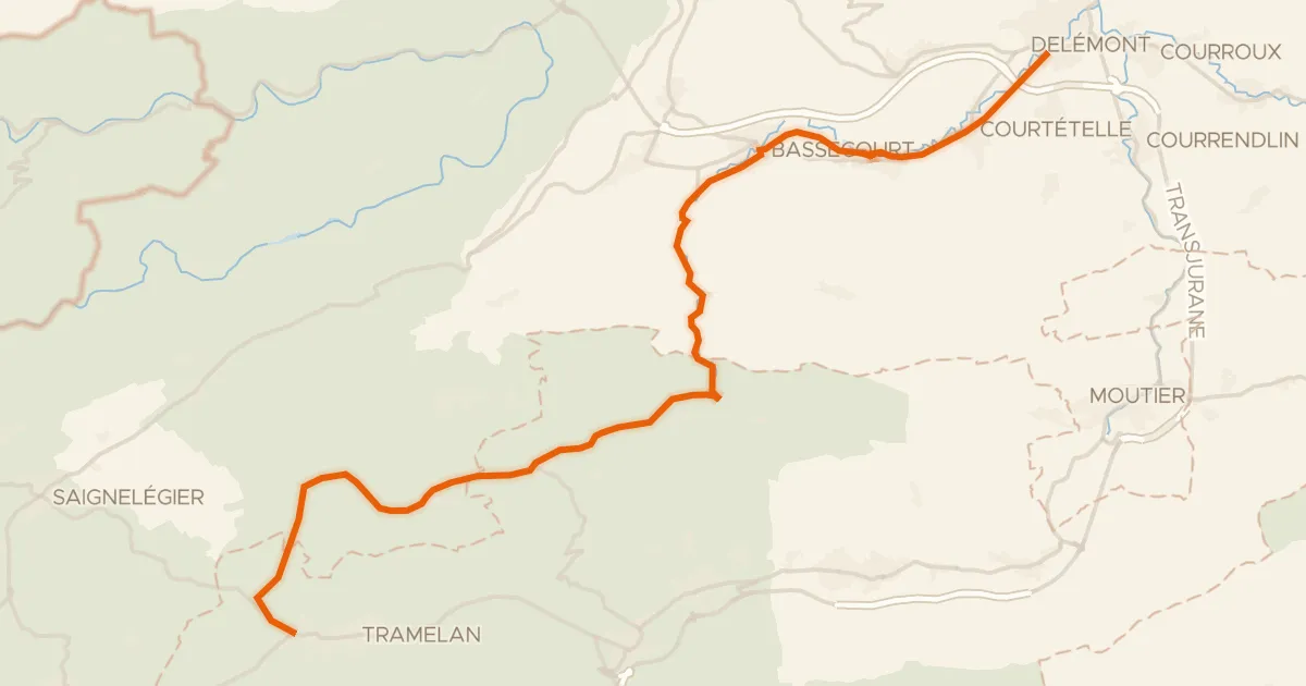
Road bike100% paved
Basel–Franches-Montagnes
36 km↑ 919 m27 km away