Back to the librarykm 0–2km 22–25km 25–30km 34–37km 41–48km 51–53km 73–77km 82–84km 85–86
Road bikeMade by RouteCasterRound trip
Rondje Ruine Hilsenstein en Naturpark Thal
Distance
89 km
Ascent
2,501 m
Highest point
990 m
99% paved
Start from your location
Ride there from home: we find the shortest way to the loop and start the loop from there.
The ride
Roll out of Ziefen and the climbing begins, on a route that stays on paved surface the whole way. You pass Schloss Ebenrain, then ride through Naturpark Thal before the road brings you to Basler Weiher. Later comes the Ruine Hilsenstein, and then it's back to Ziefen where you started. With 2501 m of elevation gain over 89.2 km, there's plenty to keep the legs busy.
Climbs
Climb 1Cat. 4
1.9 km at 4.2% · max 13%
Climb 2Cat. 4
2.9 km at 3.2% · max 17.9%
ChilchzimmersattelCat. 2
5.3 km at 8.5% · max 22.7%
BreitenhöchiCat. 4
2.6 km at 5.5% · max 12.5%
Climb 5Cat. 2
6.8 km at 6.1% · max 38.8%
Climb 6Cat. 3
2.9 km at 8.6% · max 56.7%
Climb 7Cat. 3
4 km at 6.8% · max 23%
Climb 8Cat. 4
1.9 km at 6.4% · max 14.7%
Climb 9Hill
0.5 km at 9.1% · max 13.1%
Routes nearby
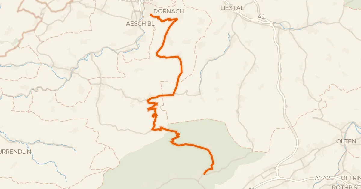
Road bike100% paved
Passwang–Oberaargau
43 km↑ 1,327 m5 km away
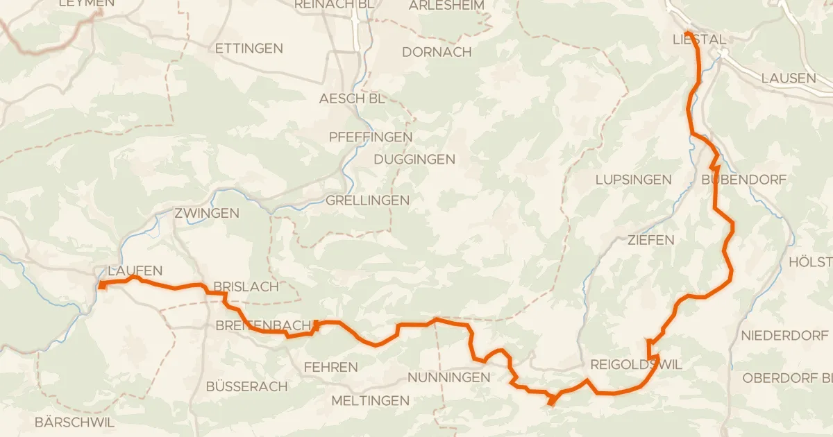
Touring83% paved
Chirsi-Route
38 km↑ 1,093 m6 km away
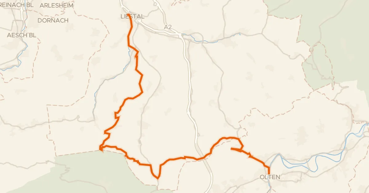
Touring85% paved
Belchen-Panorama-Route
46 km↑ 1,472 m7 km away
Chilchzimmersattel · Unterer Hauenstein
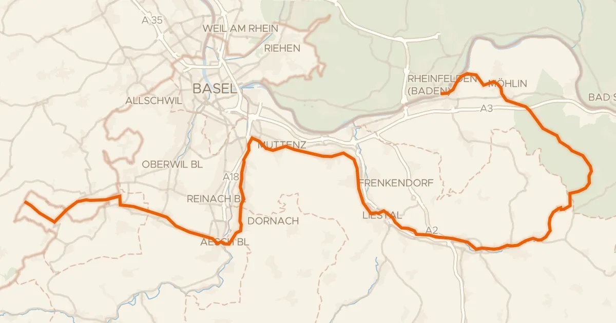
Road bike96% paved
Dreiland-Radweg (schweizer Abschnitt)
73 km↑ 779 m10 km away

Gravel27% paved
Rondje Ruine Froburg
57 km↑ 2,208 m13 km away

Gravel32% paved
Rondje Ruine Frohberg en Rhein
78 km↑ 1,581 m15 km away