Back to the librarykm 3–7km 9–11km 13–16km 17–18km 18–21km 25–26km 29–33km 35–36km 37–38km 39–40km 43–43km 43–44km 44–44
GravelMade by RouteCasterRound trip
Rondje Ruine Froburg
Distance
57 km
Ascent
2,208 m
Highest point
893 m
27% paved
Start from your location
Ride there from home: we find the shortest way to the loop and start the loop from there.
The ride
This ride rolls out of Gelterkinden and back again, covering 56.6 km with 2208 m of climbing along the way. Most of the route is unpaved, so expect plenty of off-road riding between the paved stretches. Partway round you pass the ruins of Froburg castle before turning for home. Short, hilly, and varied underfoot.
Climbs
Climb 1Cat. 3
3.8 km at 6.7% · max 26.3%
Climb 2Cat. 4
1.7 km at 8.4% · max 19.5%
Climb 3Cat. 3
3 km at 6.9% · max 27%
Climb 4Hill
0.3 km at 10% · max 19%
Climb 5Cat. 3
2.7 km at 7.9% · max 28.2%
Climb 6Cat. 4
0.8 km at 18.8% · max 29.8%
Climb 7Cat. 2
3.6 km at 12.6% · max 26.8%
Climb 8Hill
0.4 km at 12.4% · max 23.1%
Climb 9Cat. 3
1.8 km at 9.7% · max 25.8%
Climb 10Hill
0.8 km at 9% · max 18.8%
Climb 11Hill
0.2 km at 19% · max 30%
Climb 12Hill
0.3 km at 14.2% · max 21%
Climb 13Cat. 4
0.4 km at 23.4% · max 32.8%
Routes nearby
Touring85% paved
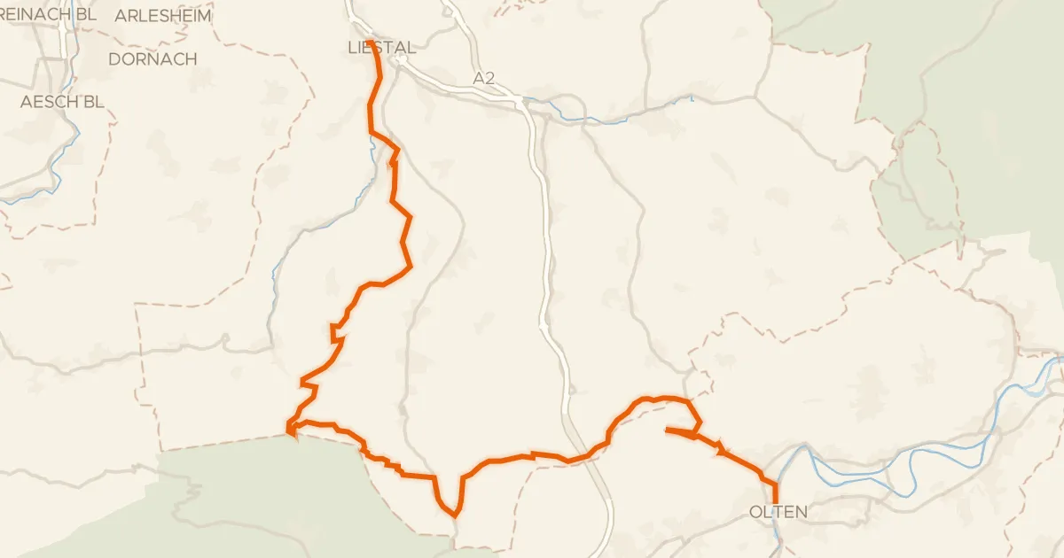
Belchen-Panorama-Route
46 km↑ 1,472 m7 km away
Chilchzimmersattel · Unterer Hauenstein
Road bike96% paved
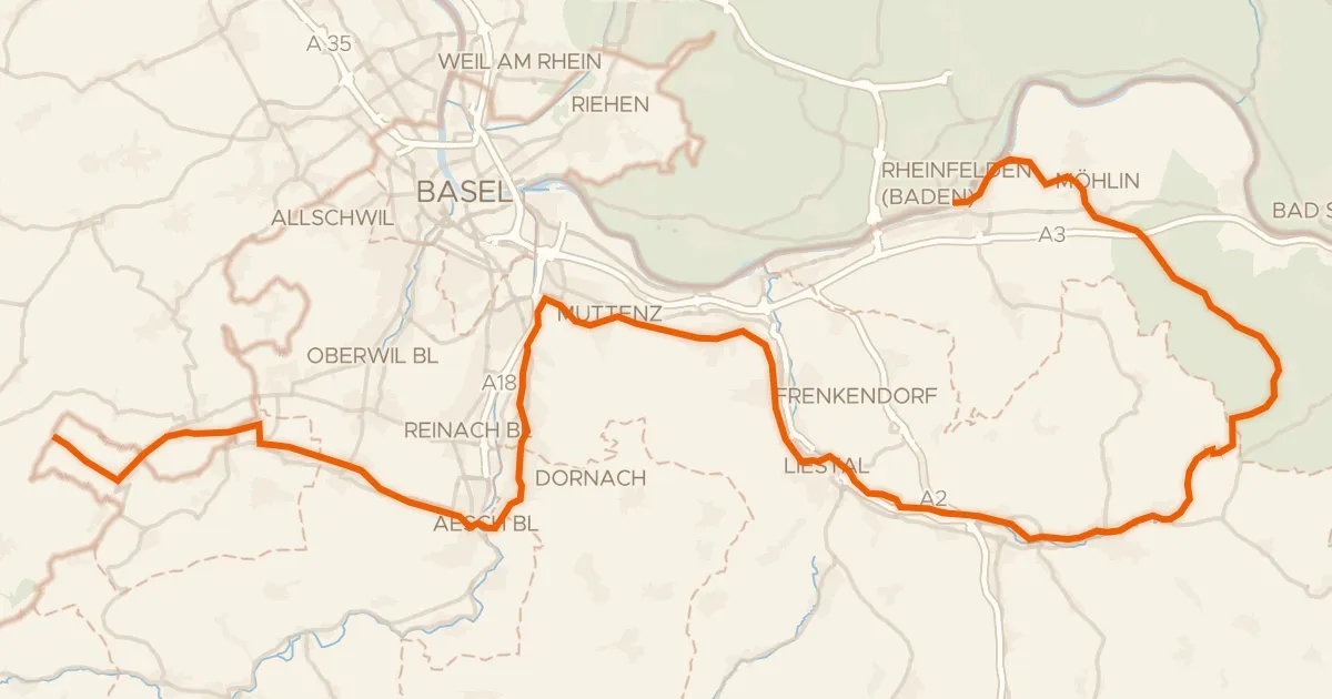
Dreiland-Radweg (schweizer Abschnitt)
73 km↑ 779 m15 km away
Gravel31% paved
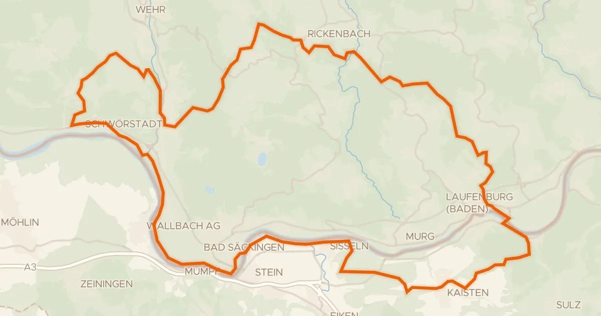
Rondje Schloss Schönau en Jurapark Aargau
60 km↑ 1,258 m16 km away
Road bike100% paved
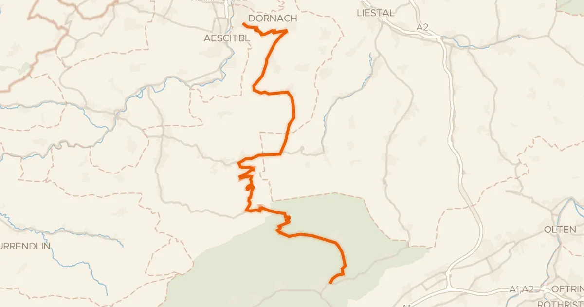
Passwang–Oberaargau
43 km↑ 1,327 m16 km away
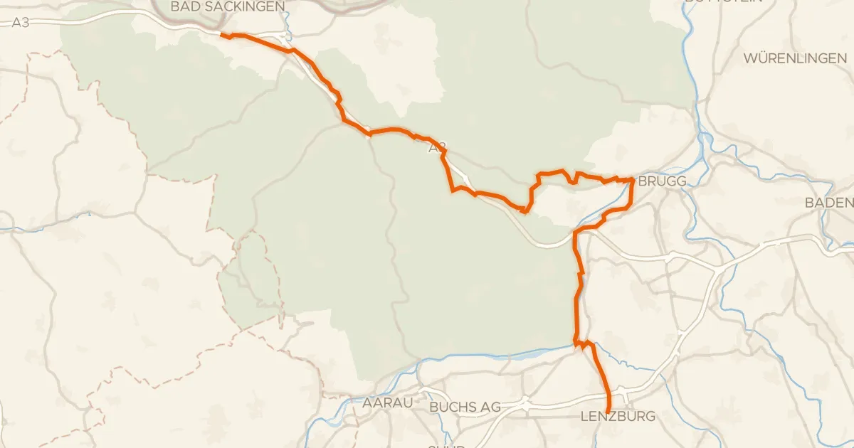
Touring83% paved
Seetal-Bötzberg - Etappe 2
43 km↑ 434 m16 km away
Bözbergpass
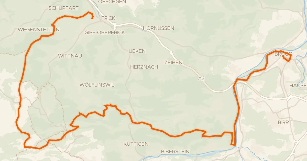
Gravel62% paved
Jurapark Aargau
58 km↑ 1,513 m17 km away
Staffelegg · Salhöhe