Back to the librarykm 15–16km 16–18km 19–19km 20–27km 35–35
Road bike
Basel–Franches-Montagnes
Distance
36 km
Ascent
919 m
Highest point
1,041 m
100% paved
The ride
Here's a 36.1 km ride that's fully paved, with 919 m of climbing to keep things interesting. The route mixes secondary roads (38%), tertiary roads (19%) and country roads (17%), so the scenery keeps changing. A quarter of the ride, 26%, runs on protected cycleways and bike-network roads, and none of it puts you on busy roads above 50 km/h without a cycle path. Paved from start to finish, with plenty of up-and-down along the way.
Climbs
Climb 1Hill
0.8 km at 6.1% · max 15%
Climb 2Cat. 3
1.8 km at 10.6% · max 31.1%
Climb 3Hill
0.8 km at 5.5% · max 9.7%
Climb 4Cat. 3
7.5 km at 3.7% · max 19.1%
Climb 5Hill
0.9 km at 5.3% · max 7.6%
Routes nearby
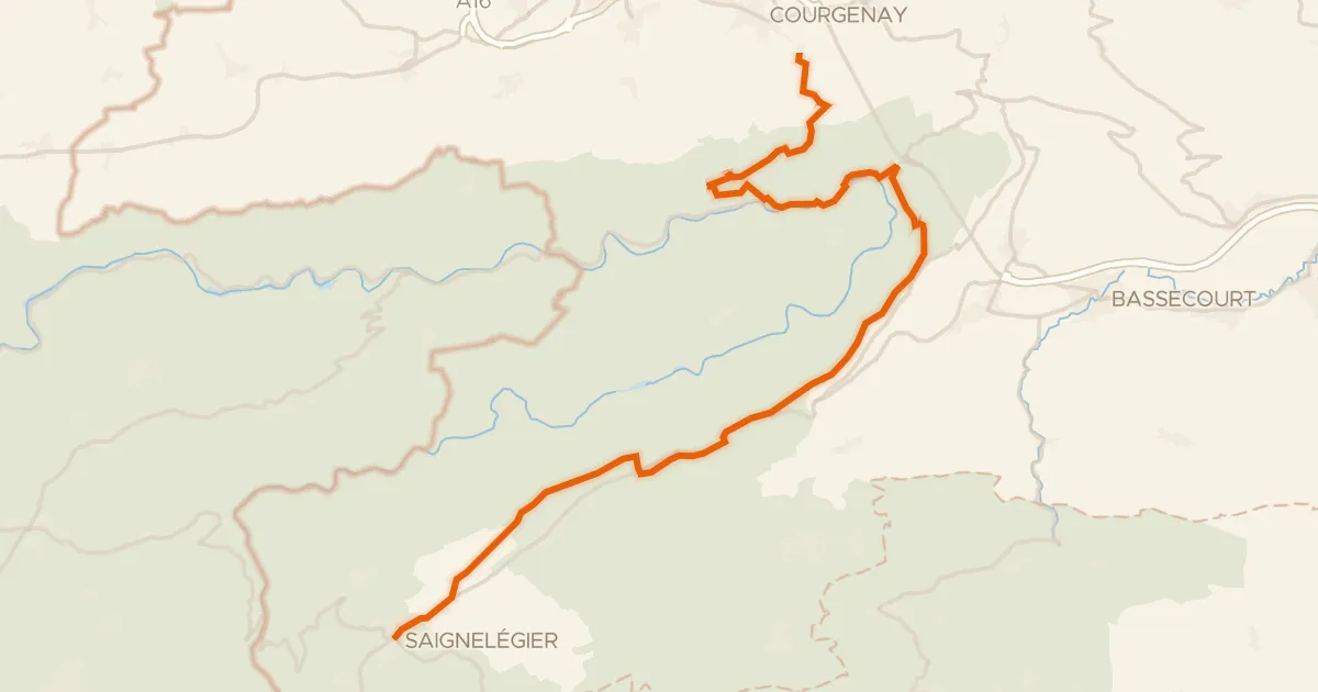
Touring91% paved
Route du Jura
36 km↑ 1,156 m20 km away
Col de la Croix
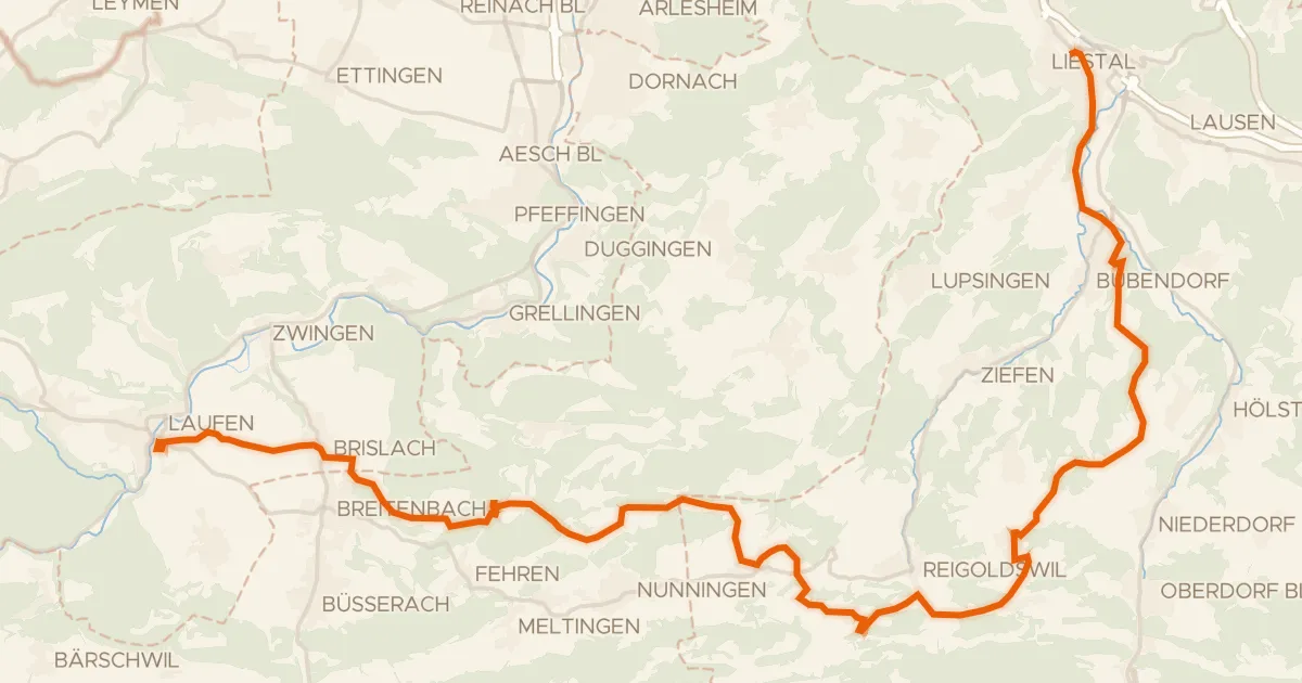
Touring83% paved
Chirsi-Route
38 km↑ 1,093 m23 km away
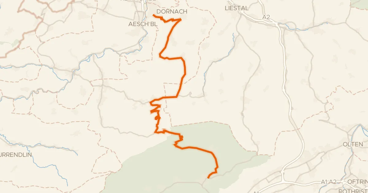
Road bike100% paved
Passwang–Oberaargau
43 km↑ 1,327 m24 km away
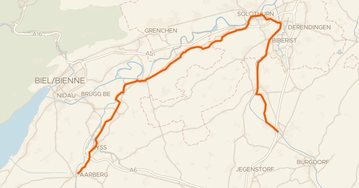
Touring75% paved
Le Jorat - Trois Lacs - Emme
51 km↑ 387 m27 km away
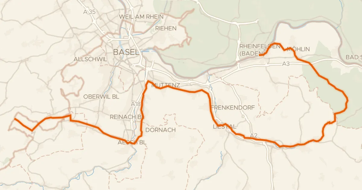
Road bike96% paved
Dreiland-Radweg (schweizer Abschnitt)
73 km↑ 779 m30 km away
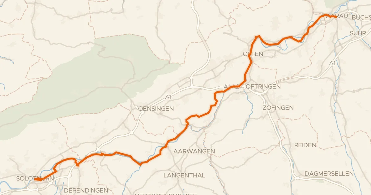
Touring76% paved
Mittelland-Route
61 km↑ 494 m35 km away