Back to the librarykm 13–19km 21–23km 27–33km 46–46km 47–48km 48–50km 50–59km 68–69
Road bikeMade by RouteCasterRound trip
Rondje Parc du Doubs en Parc régional Chasseral
Distance
70 km
Ascent
1,723 m
Highest point
1,044 m
100% paved
Start from your location
Ride there from home: we find the shortest way to the loop and start the loop from there.
The ride
Roll out of Saignelégier and let the ride unfold: first along the river Le Doubs, then through the Parc du Doubs nature reserve. Onward past the river La Sorne and into the Parc régional Chasseral nature reserve, with 1723 m of climbing along the way. Every metre of the 70.2 km is paved, and the loop brings you back to where you started.
Climbs
Climb 1Cat. 3
5.9 km at 5% · max 17%
Climb 2Hill
1.6 km at 3.5% · max 15.5%
Climb 3Cat. 2
5.2 km at 7.6% · max 24.9%
Climb 4Hill
0.8 km at 6.3% · max 25%
Climb 5Cat. 4
1.3 km at 7.7% · max 17.9%
Climb 6Cat. 4
1.5 km at 8.4% · max 32.6%
Climb 7Cat. 3
9.4 km at 3% · max 17.3%
Climb 8Hill
1 km at 4.3% · max 7.8%
Routes nearby

Gravel26% paved
Rondje Ruine de Spiegelberg en Le Doubs
63 km↑ 1,905 m5 km away

Gravel23% paved
Langs Le Doubs en Parc régional Chasseral
58 km↑ 1,860 m10 km away
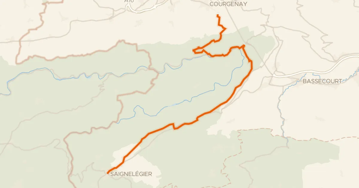
Touring91% paved
Route du Jura
36 km↑ 1,156 m10 km away
Col de la Croix
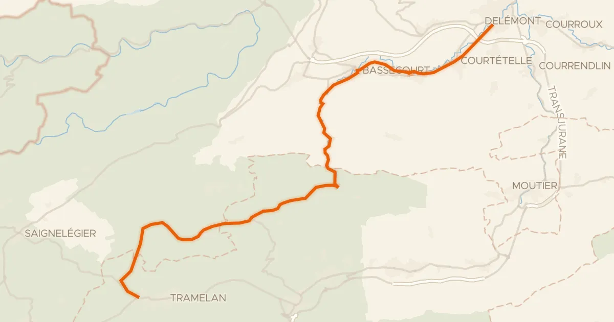
Road bike100% paved
Basel–Franches-Montagnes
36 km↑ 919 m16 km away

Gravel19% paved
Rondje Parc du Doubs en L'Allaine
59 km↑ 1,643 m18 km away

Road bike100% paved
Rondje Château de Porrentruy en L'Allaine
72 km↑ 775 m22 km away