Back to the librarykm 5–6km 11–15km 19–25km 27–30km 31–36km 36–38km 39–39km 42–45km 48–50km 51–52km 58–60
GravelRouteCasterRound trip
Rondje Kirchenburg Walldorf en Werra
Distance
61 km
Ascent
1,308 m
Highest point
700 m
10% paved
Start from your location
Ride there from home: we find the shortest way to the loop and start the loop from there.
The ride
Roll out of Dreißigacker and let the ride unfold: past the Herpf and Werra rivers, on to the Kirchenburg Walldorf castle, then through the Rhön biosphere reserve. Most of the 60.5 km is unpaved, so expect a mix of surfaces under your wheels. With 1308 m of climbing spread across the route, the legs will know they've been working. Back to Dreißigacker it is.
Climbs
Climb 1Hill
0.7 km at 6.1% · max 13.4%
Climb 2Cat. 4
3.6 km at 3.8% · max 22.8%
Climb 3Cat. 3
5.9 km at 3.8% · max 15.3%
Climb 4Cat. 4
3.1 km at 4.4% · max 10%
Climb 5Cat. 3
5 km at 4.5% · max 19.3%
Climb 6Hill
1.9 km at 3.7% · max 9.8%
Climb 7Hill
0.5 km at 5.2% · max 7.8%
Climb 8Cat. 4
2.4 km at 5.8% · max 21.3%
Climb 9Cat. 4
2.3 km at 6.2% · max 21.3%
Climb 10Hill
1 km at 6.9% · max 13.5%
Climb 11Cat. 4
1.9 km at 4.8% · max 20.5%
Routes nearby
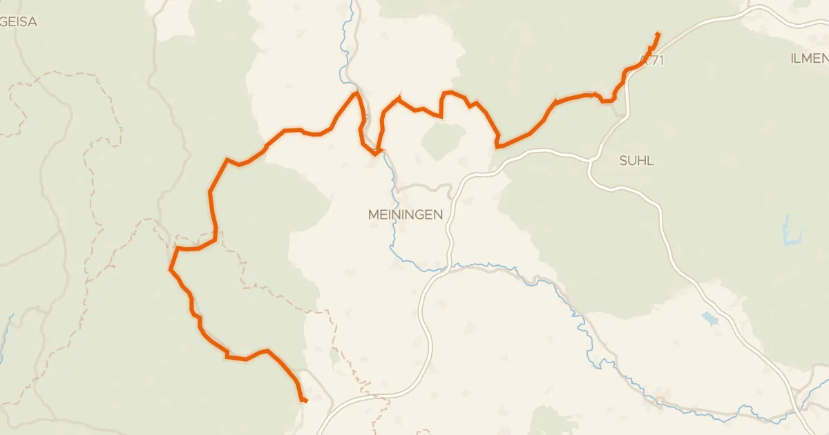
Touring83% paved
Rhön-Rennsteig-Radweg
102 km↑ 1,538 m4 km away
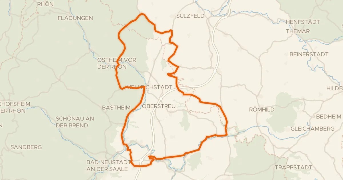
Road bike99% paved
Rondje Wasserschloss Irmelshausen en Schloss Waltershausen
85 km↑ 988 m15 km away
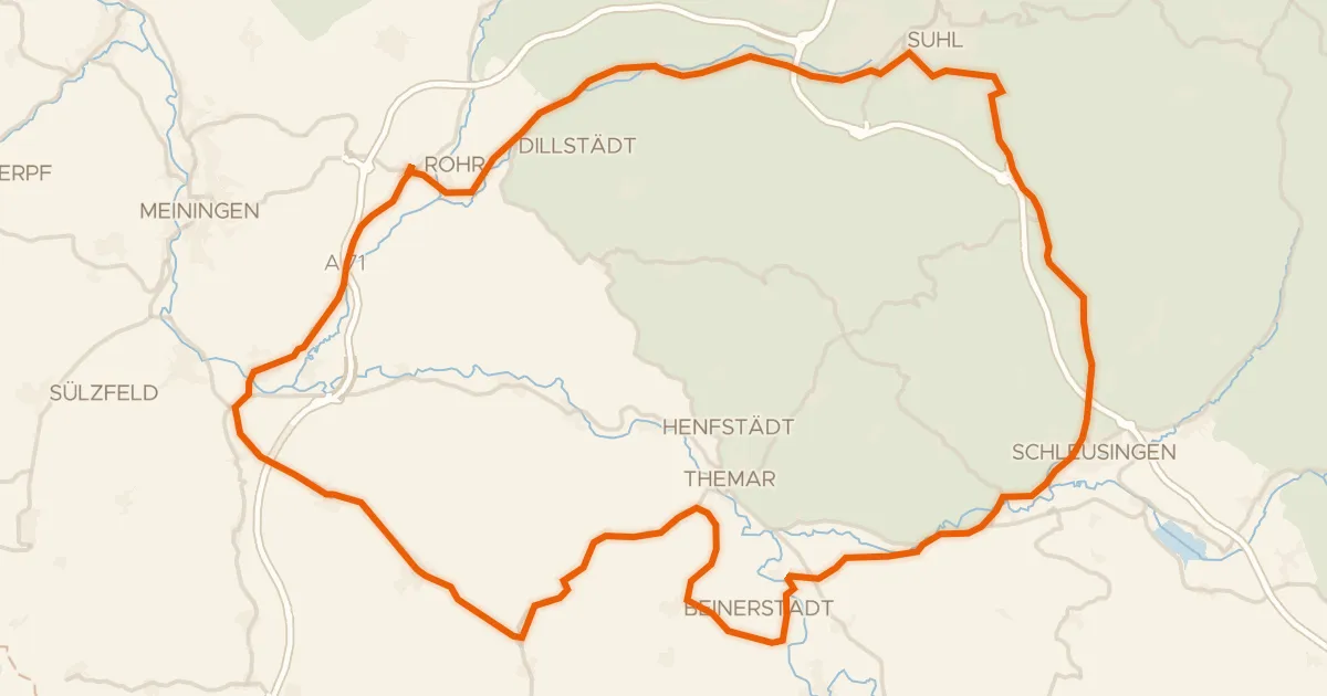
Road bike98% paved
Rondje Schloss Bertholdsburg en Windmühle
75 km↑ 781 m15 km away
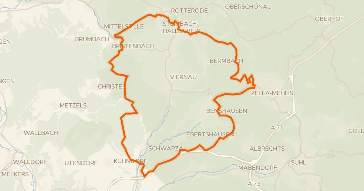
Gravel9% paved
Rondje Naturpark Thüringer Wald en Stille
55 km↑ 1,492 m17 km away
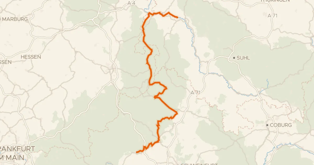
Touring88% paved
Rhönradweg
176 km↑ 1,698 m24 km away
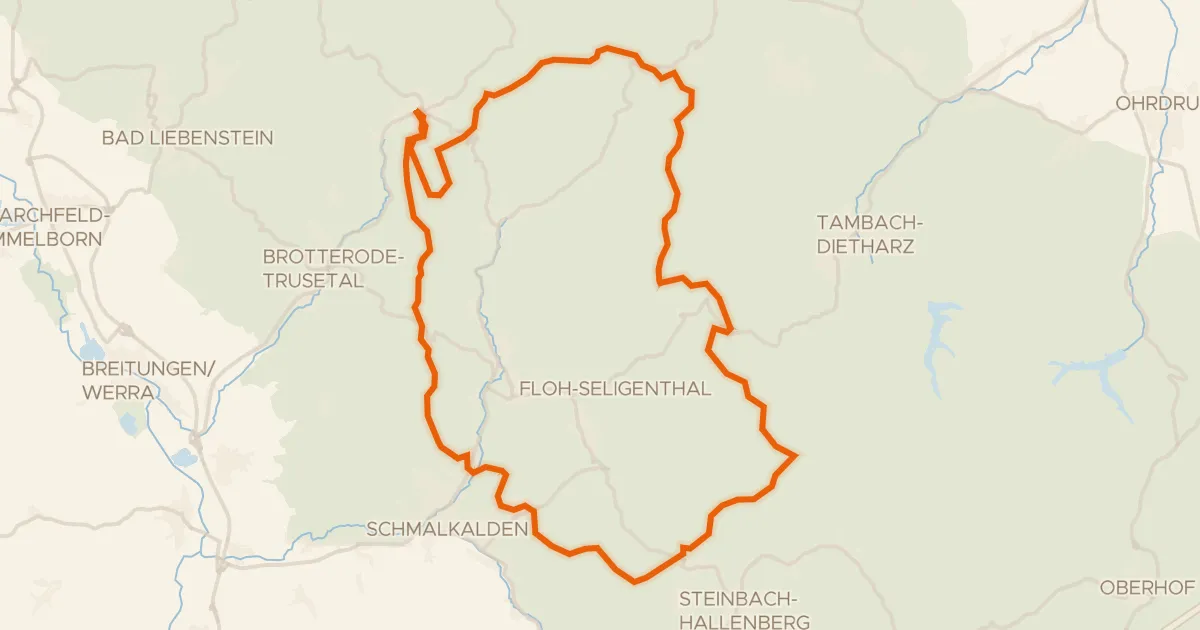
Gravel6% paved
Rondje Spittergrund en Schmalkalde
57 km↑ 1,322 m26 km away