Back to the librarykm 0–2km 3–5km 9–11km 17–18km 19–20km 24–26km 26–27km 30–31km 39–41km 41–42km 42–44km 44–46km 47–49
GravelRouteCasterRound trip
Rondje Naturpark Thüringer Wald en Stille
Distance
55 km
Ascent
1,492 m
Highest point
770 m
9% paved
Start from your location
Ride there from home: we find the shortest way to the loop and start the loop from there.
The ride
Roll out of Steinbach-Hallenberg and let the ride unfold, with most of the route running unpaved beneath your wheels. You follow the Stille river out of the village, then climb on toward the Naturpark Thüringer Wald, where the elevation keeps adding up. The nature reserve marks the far turn, and from there it's back through the trees and down to Steinbach-Hallenberg again. A loop that starts and finishes in the same place, with plenty of climbing in between.
Climbs
Climb 1Cat. 3
1.7 km at 9.7% · max 24.3%
Climb 2Cat. 4
2.1 km at 4.3% · max 16.5%
Climb 3Cat. 3
2.8 km at 7.1% · max 14.6%
Climb 4Cat. 4
1.2 km at 9.9% · max 18.4%
Climb 5Hill
1.1 km at 3.3% · max 6.3%
Climb 6Cat. 4
2.2 km at 4.9% · max 17.2%
Climb 7Hill
1.1 km at 6.1% · max 11%
Climb 8Hill
1.1 km at 3.7% · max 8.3%
Climb 9Hill
1.8 km at 3.5% · max 10.3%
Climb 10Hill
0.8 km at 5.1% · max 15.6%
Climb 11Cat. 4
1.3 km at 9.7% · max 26.9%
Climb 12Cat. 4
1.9 km at 7.1% · max 16%
Climb 13Cat. 4
2.2 km at 5.4% · max 13.5%
Routes nearby
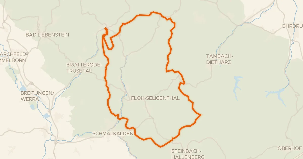
Gravel6% paved
Rondje Spittergrund en Schmalkalde
57 km↑ 1,322 m9 km away
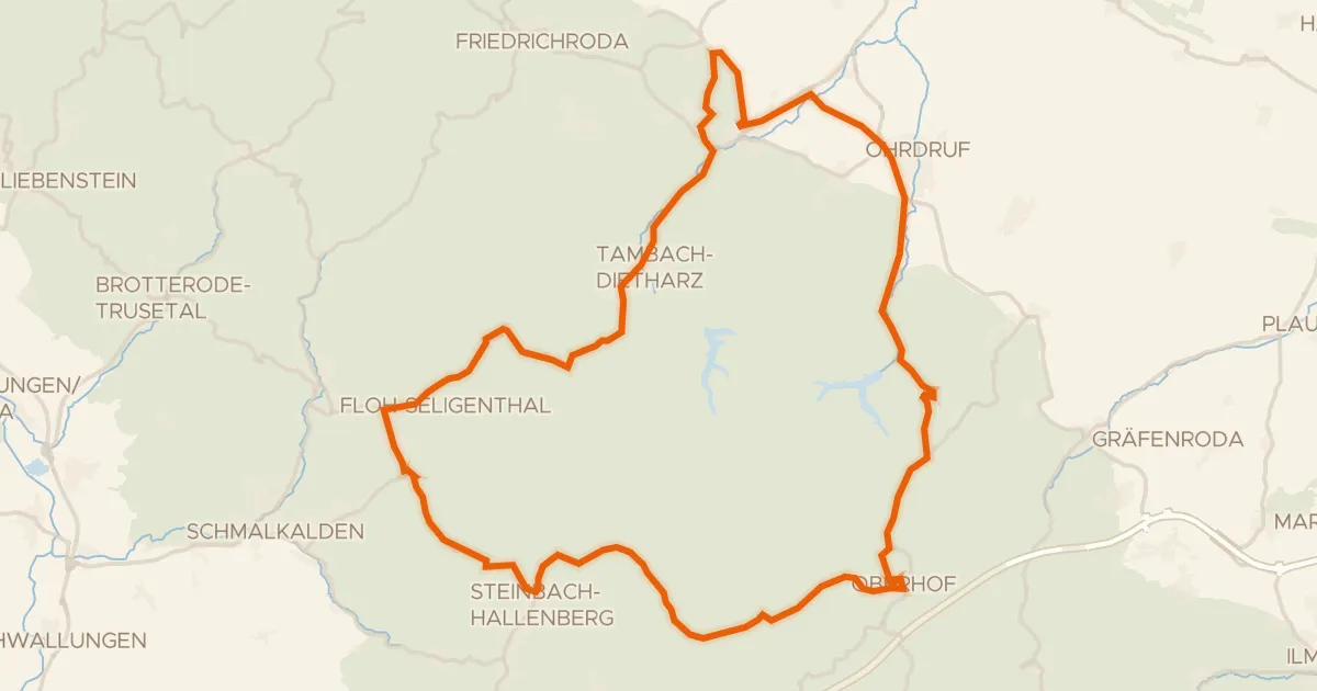
Road bike97% paved
Rondje Hallenburg en Burg Schwarzwald
72 km↑ 1,245 m9 km away
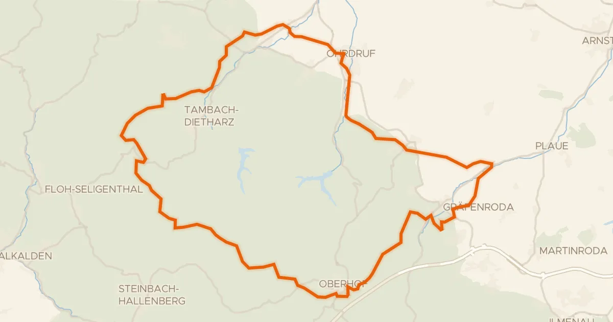
Gravel10% paved
Rondje Spittergrund en Ohra
75 km↑ 1,490 m12 km away
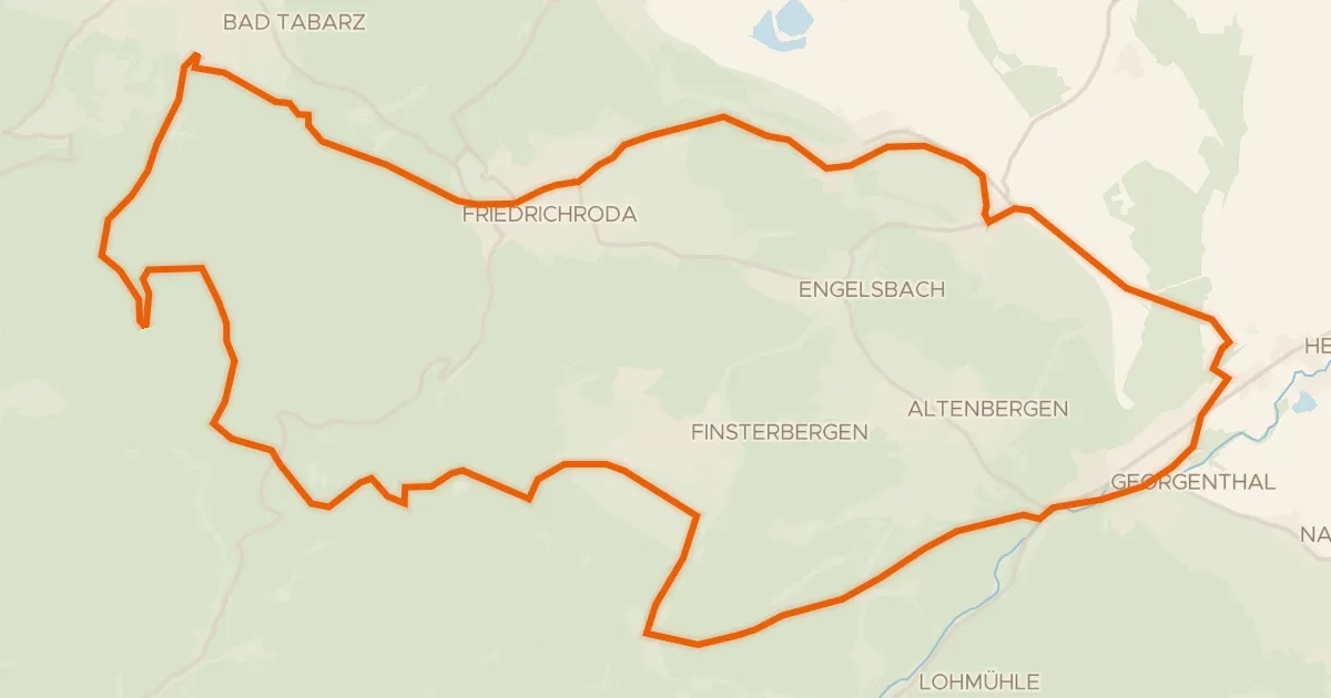
Gravel65% paved
Rennsteigschleife
38 km↑ 684 m16 km away
Heuberghaus
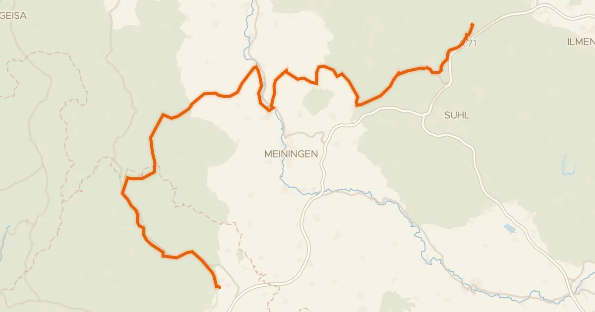
Touring83% paved
Rhön-Rennsteig-Radweg
102 km↑ 1,538 m18 km away
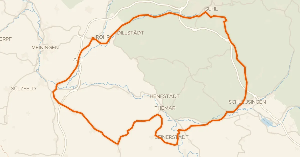
Road bike98% paved
Rondje Schloss Bertholdsburg en Windmühle
75 km↑ 781 m19 km away