Back to the librarykm 40 · Apr 2020 · © zoegglmeyr / Mapillary, CC BY-SA km 15–19km 21–22km 23–29km 29–31km 32–34km 39–40km 43–45km 47–47km 54–54km 58–60km 63–64km 66–66km 66–68
GravelRouteCasterRound trip
Rondje Spittergrund en Ohra
Distance
75 km
Ascent
1,490 m
Highest point
907 m
10% paved
Start from your location
Ride there from home: we find the shortest way to the loop and start the loop from there.
The ride
Roll out of Ohrdruf and follow the Ohra river before the Naturpark Thüringer Wald takes over. Past Burg Liebenstein castle and the Röderschlösschen, the route dives into Spittergrund nature reserve and along the Apfelstädt river. Of the 75.4 km, most runs unpaved, with 1490 m of climbing along the way. It all loops back to Ohrdruf.
Along the way
Climbs
Climb 1Cat. 4
3.2 km at 4.7% · max 24.7%
Climb 2Hill
0.8 km at 6.9% · max 11.8%
Climb 3Cat. 2
5.7 km at 6% · max 43.4%
Climb 4Cat. 4
2.1 km at 4.7% · max 13%
Climb 5Cat. 4
2.3 km at 5.3% · max 14.5%
Climb 6Hill
0.8 km at 4.5% · max 9.4%
Climb 7Hill
1.4 km at 3.4% · max 7.9%
Climb 8Hill
0.4 km at 7.4% · max 11.5%
Climb 9Hill
0.6 km at 6.8% · max 10.3%
Climb 10Hill
1.7 km at 4.4% · max 11.4%
Climb 11Hill
1.1 km at 4.6% · max 9.8%
Climb 12Hill
0.5 km at 5.4% · max 8.3%
Climb 13Hill
1.4 km at 4.7% · max 9.1%
Routes nearby
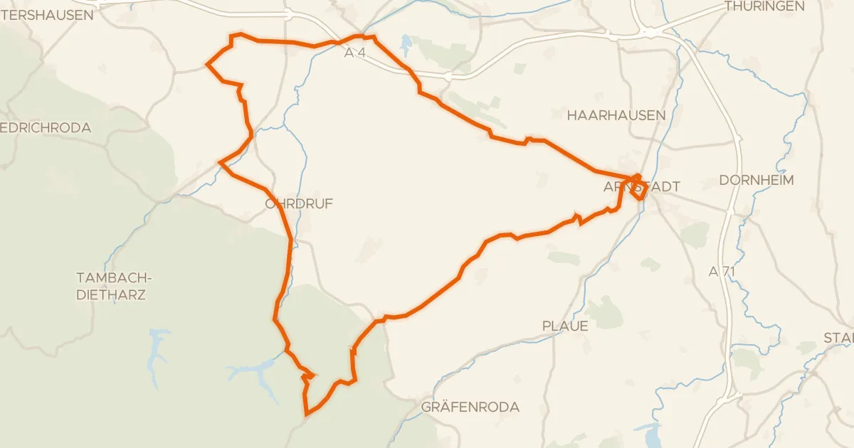
Road bike96% paved
Rondje langs de Gera en Ohra
69 km↑ 675 m6 km away
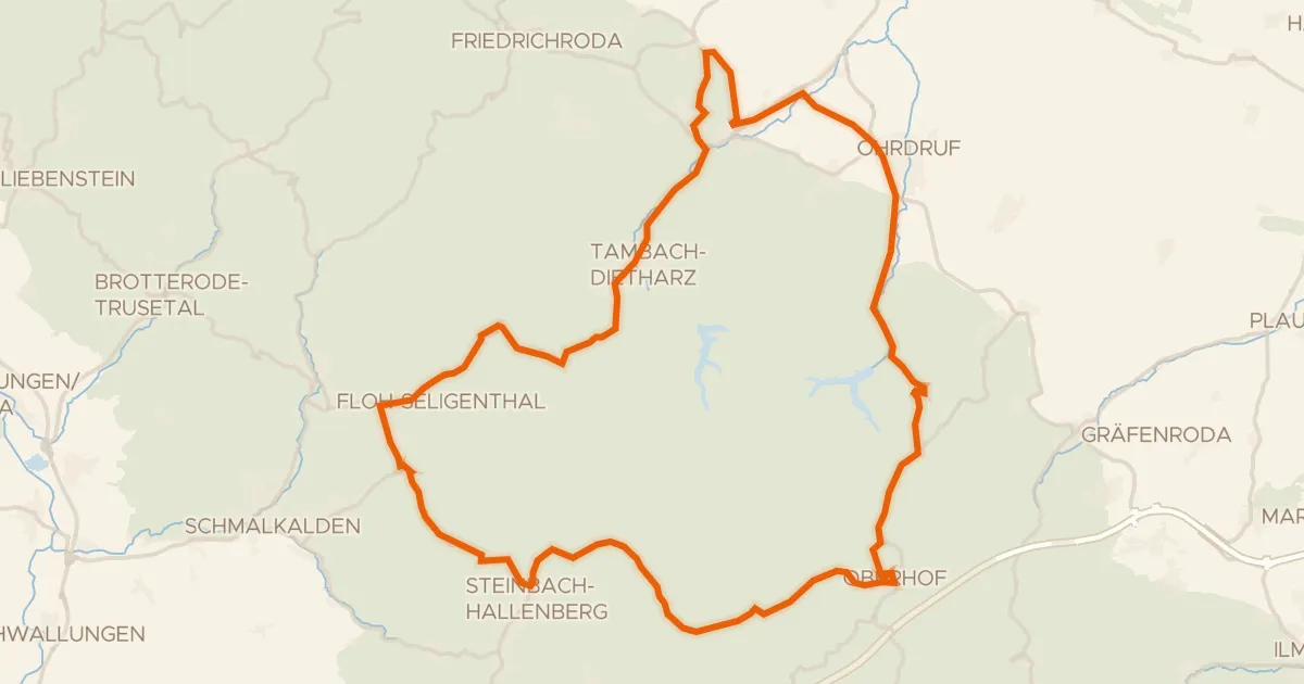
Road bike97% paved
Rondje Hallenburg en Burg Schwarzwald
72 km↑ 1,245 m10 km away
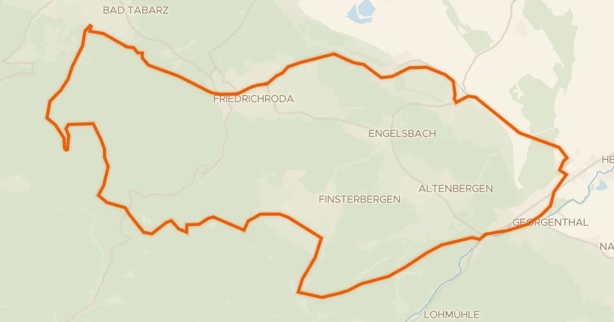
Gravel65% paved
Rennsteigschleife
38 km↑ 684 m10 km away
Heuberghaus
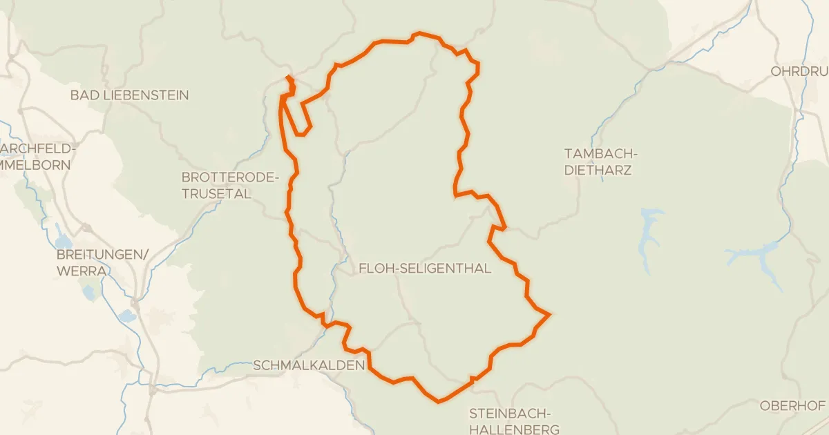
Gravel6% paved
Rondje Spittergrund en Schmalkalde
57 km↑ 1,322 m16 km away
Gravel31% paved
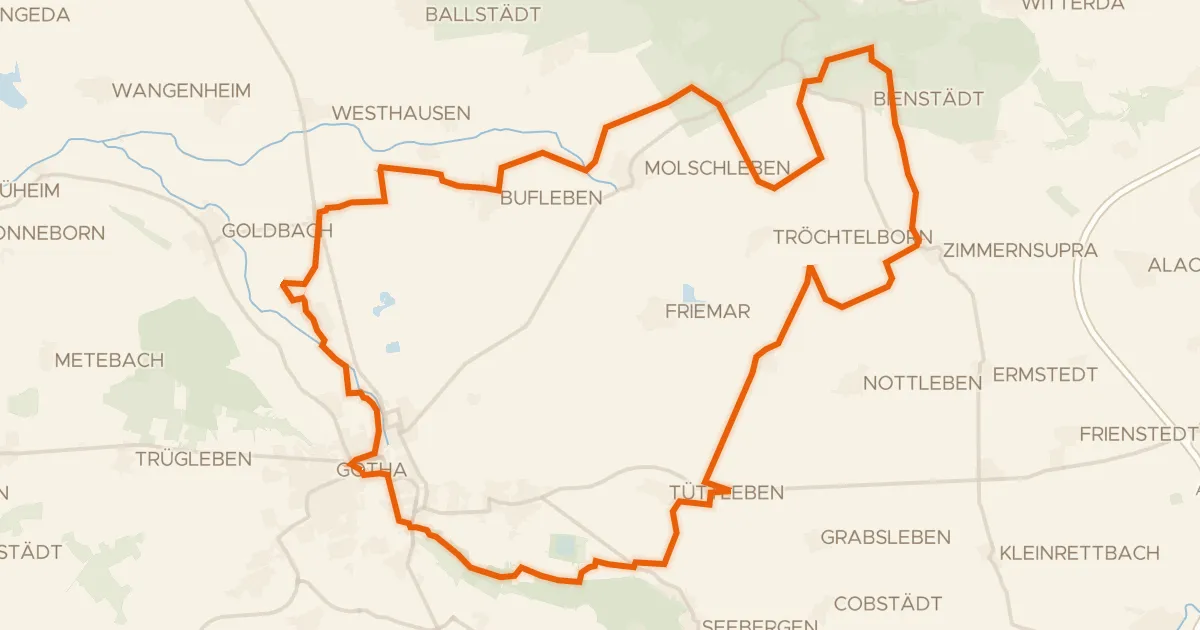
Rondje Schloss Friedenstein en Fahner Höhe
57 km↑ 337 m17 km away
Gravel44% paved
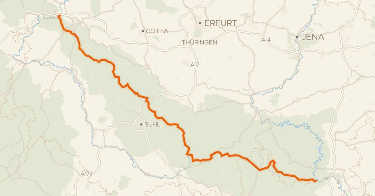
Rennsteig-Radwanderweg
199 km↑ 3,313 m21 km away
Heuberghaus