Back to the library
Road bikeRouteCasterRound trip

Rondje Wasserschloss Irmelshausen en Schloss Waltershausen

Distance
85 km
Ascent
988 m
Highest point
443 m
99% paved

Start from your location

Ride there from home: we find the shortest way to the loop and start the loop from there.

The ride

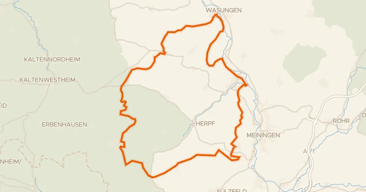
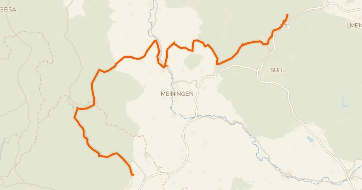
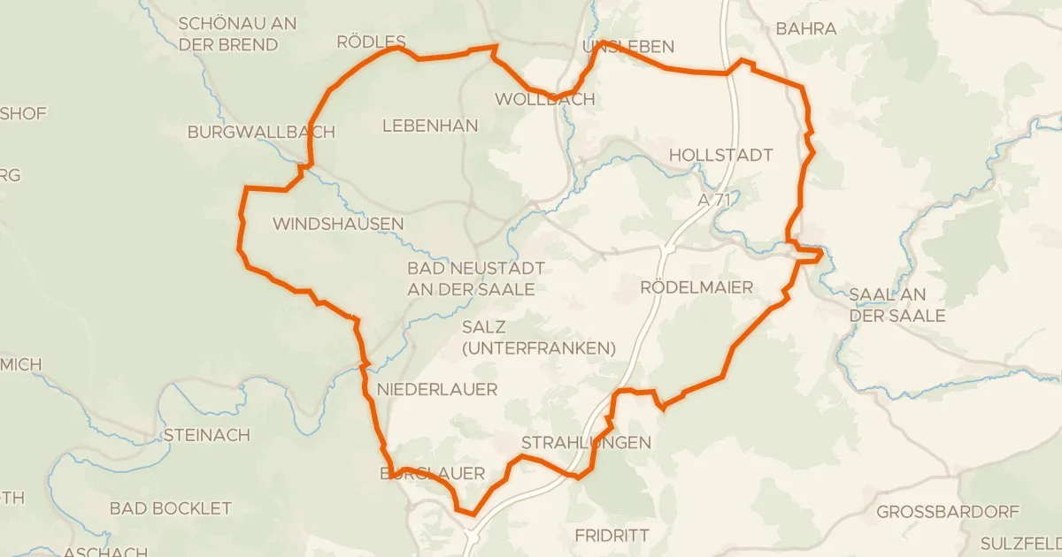
Roll out from Parkeerplaats Hubholz bei Mühlfeld and let the ride unfold: 85.3 km, with 99% paved and a sliver of unpaved. First the Grenzstreifen am Galgenberg nature reserve, then two castles in a row — Wasserschloss Irmelshausen and Schloss Waltershausen. On past the Taubachsmühle watermill and through the LSG "Bayerische Rhön" nature reserve. The Trockengebiete nordwestlich Mittelstreu and Bischofswaldung mit Stedtlinger Moor reserves lead you home, with 988 m of climbing in the legs.
Along the way

Climbs

Climb 1Hill
1.6 km at 4.5% · max 8.2%
km 0–2
Climb 2Hill
1 km at 4.5% · max 11.4%
km 3–4
Climb 3Hill
2.3 km at 3.4% · max 9.4%
km 60–62
Climb 4Hill
2.1 km at 3.3% · max 7.2%
km 71–73
Climb 5Hill
0.5 km at 5% · max 13.7%
km 81–82

Routes nearby

More cycling routes in Germany →