Back to the librarykm 1–3km 3–4km 5–6km 7–8km 9–12km 31–31km 32–33km 54–55km 60–61
GravelRouteCasterRound trip
Rondje Trockenhänge bei Unsleben en Biosphärenreservat Rhön
Distance
62 km
Ascent
922 m
Highest point
400 m
15% paved
Start from your location
Ride there from home: we find the shortest way to the loop and start the loop from there.
The ride
Roll out of Hohenroth and let the kilometres unfold. You pass through LSG "Bayerische Rhön" and the Biosphärenreservat Rhön, both nature reserves, before reaching Trockenhänge bei Unsleben, another reserve. With 922 m of climbing and most of the route unpaved, the loop swings through Kernzonen im bayerischen Teil des Biosphärenreservats Rhön. Then it's back to where you started.
Climbs
Climb 1Hill
1.9 km at 4.1% · max 21%
Climb 2Hill
0.8 km at 3.6% · max 5.2%
Climb 3Hill
1.1 km at 3.6% · max 9.3%
Climb 4Hill
1.2 km at 3.3% · max 9.3%
Climb 5Cat. 4
2.8 km at 4.5% · max 16.2%
Climb 6Hill
0.4 km at 6.3% · max 10%
Climb 7Hill
0.6 km at 5.3% · max 7.4%
Climb 8Hill
0.6 km at 7.5% · max 11.5%
Climb 9Hill
1.1 km at 7.1% · max 12.8%
Routes nearby
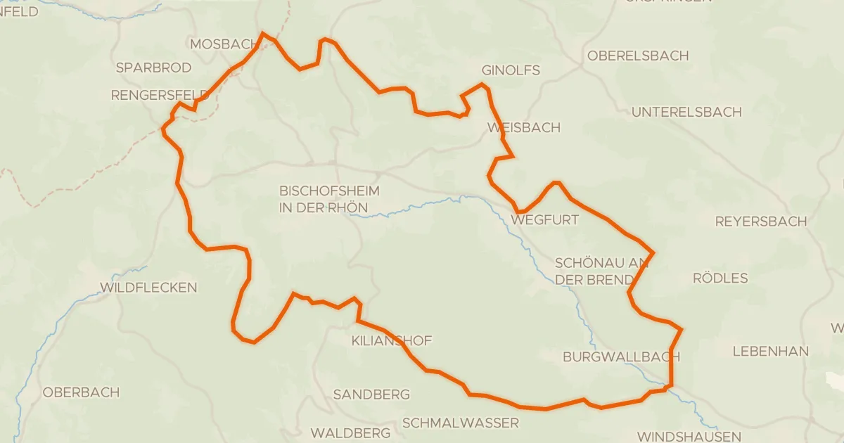
Gravel8% paved
Rondje Höllwald bei Rodenbach en Lange Rhön
60 km↑ 1,271 m12 km away
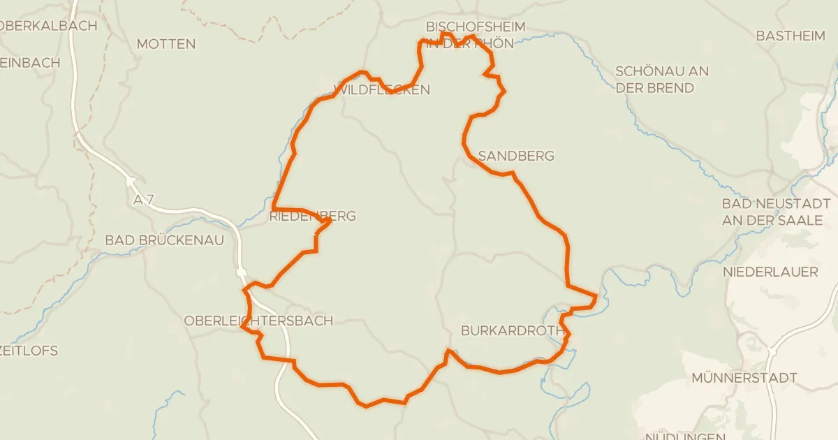
Road bike100% paved
Rondje Osterburg en Schloss Aschach
75 km↑ 1,415 m14 km away
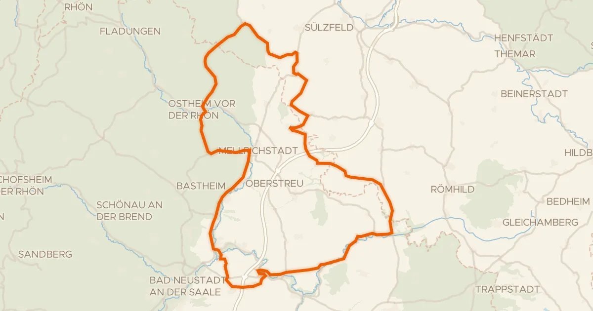
Road bike99% paved
Rondje Wasserschloss Irmelshausen en Schloss Waltershausen
85 km↑ 988 m18 km away
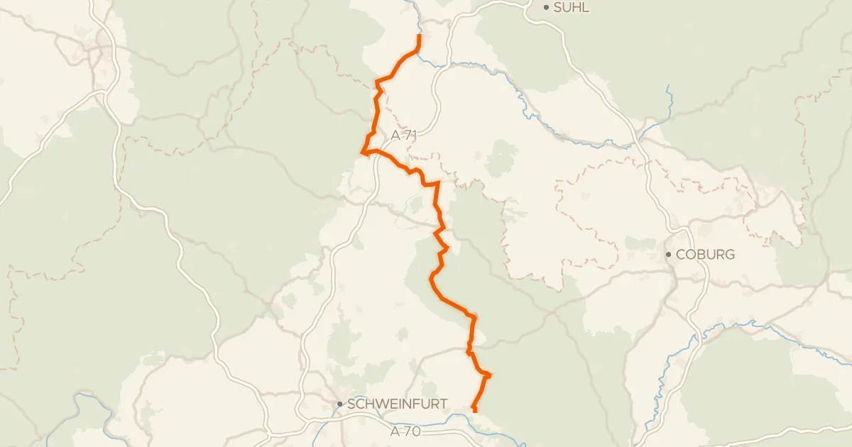
Touring78% paved
Meiningen-Haßfurt
93 km↑ 981 m18 km away
Touring88% paved
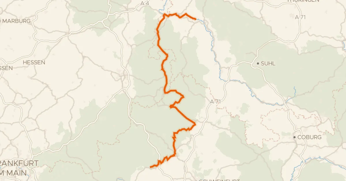
Rhönradweg
176 km↑ 1,698 m20 km away
Road bike99% paved
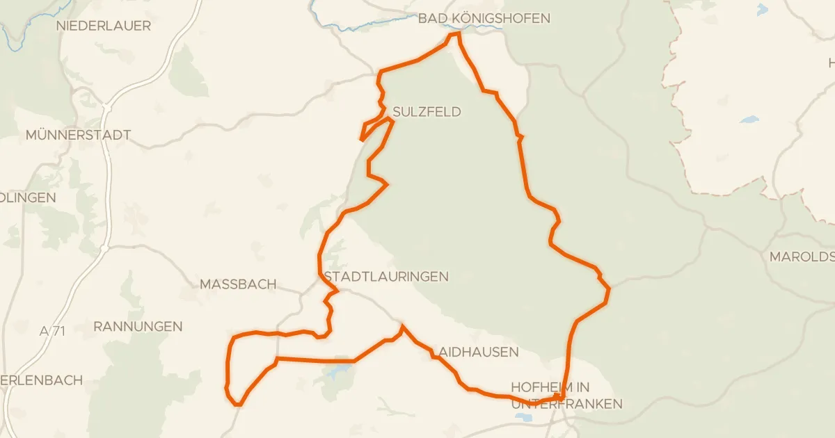
Rondje Sulzfelder Schloss en Ellertshäuser See
77 km↑ 730 m21 km away