Back to the librarykm 2–5km 6–8km 8–9km 13–15km 18–18km 19–21km 21–23km 41–50km 53–53km 53–54km 56–57km 60–61
GravelRouteCasterRound trip
Rondje Burg Altentierberg en Burg Hausen
Distance
65 km
Ascent
1,406 m
Highest point
893 m
40% paved
Start from your location
Ride there from home: we find the shortest way to the loop and start the loop from there.
The ride
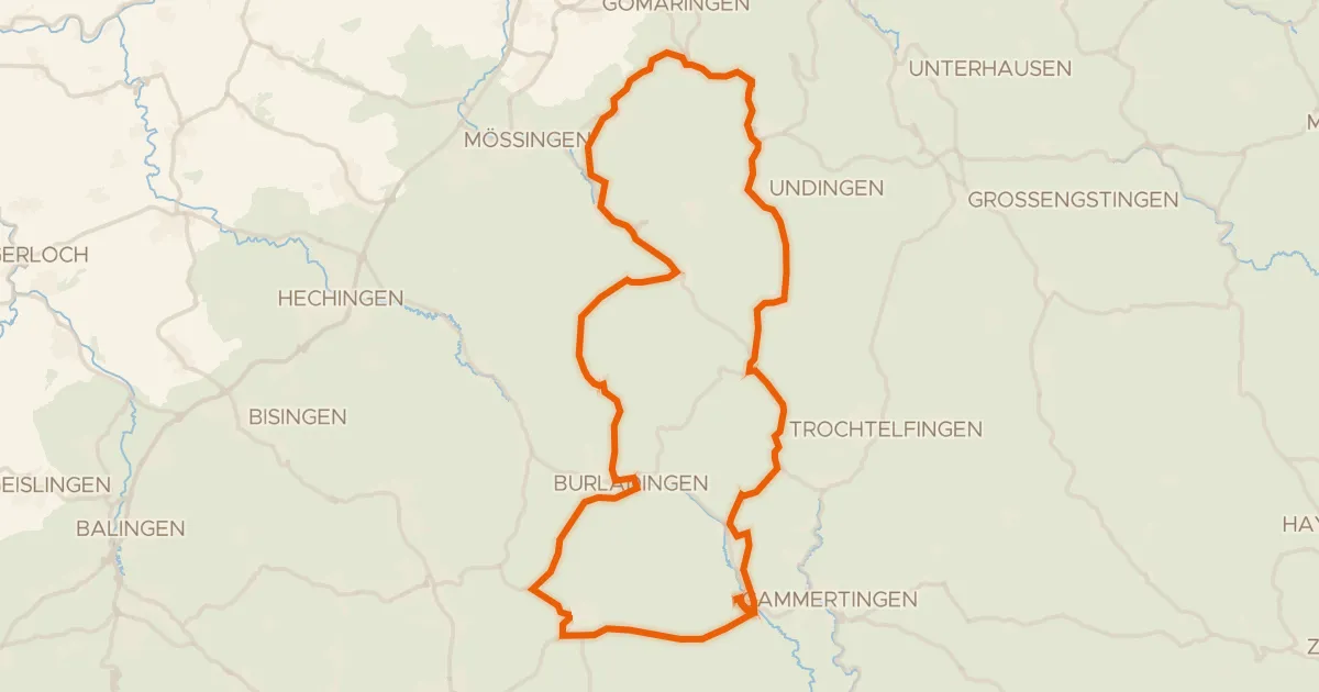
Roll out from Parkeerplaats Mehlbaum and the climbing begins early. Past castle Burg Altentierberg, then on through the Dobelwiesen nature reserve and the Untereck nature reserve. The 64.5 km route mixes 40% paved with 60% unpaved, and packs in 1406 m of elevation gain. Later you pass the Irrenberg-Hundsrücken nature reserve and castle Burg Hausen before rolling back to Mehlbaum.
Climbs
Climb 1Cat. 4
2.3 km at 4.9% · max 18.2%
Climb 2Cat. 4
1.6 km at 5.4% · max 10%
Climb 3Hill
0.3 km at 13.1% · max 15.3%
Climb 4Cat. 4
2 km at 7.2% · max 16.8%
Climb 5Hill
0.5 km at 11.3% · max 22.2%
Climb 6Hill
1.7 km at 3% · max 17.3%
Climb 7Cat. 4
1.8 km at 7.8% · max 35.5%
Climb 8Cat. 2
8.9 km at 4% · max 18.9%
Climb 9Hill
0.7 km at 9.4% · max 21.7%
Climb 10Hill
0.7 km at 7.5% · max 17.7%
Climb 11Hill
0.8 km at 5.8% · max 16.2%
Climb 12Hill
1 km at 6.3% · max 14.1%
Routes nearby
Road bike100% paved
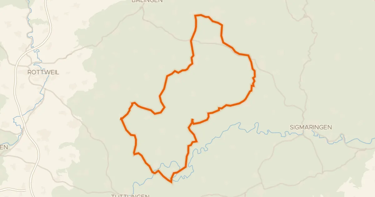
Rondje Burg Straßberg en Knopfmacherfelsen
97 km↑ 1,443 m9 km away
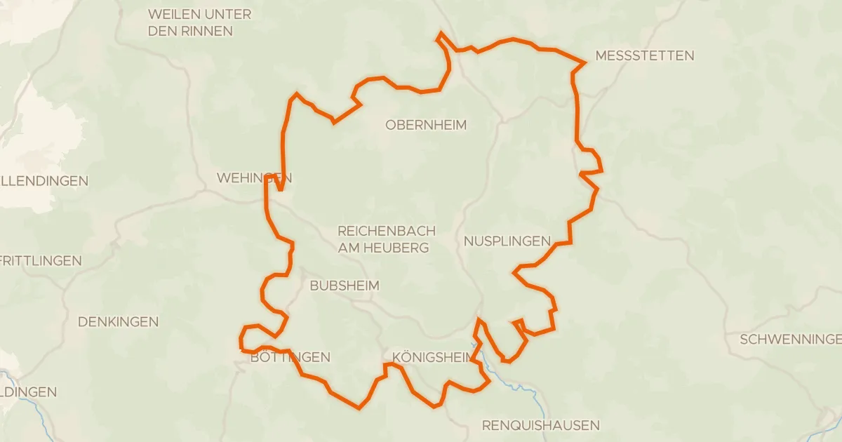
Gravel25% paved
Rondje Burgruine Wehingen en Bära
61 km↑ 1,249 m11 km away
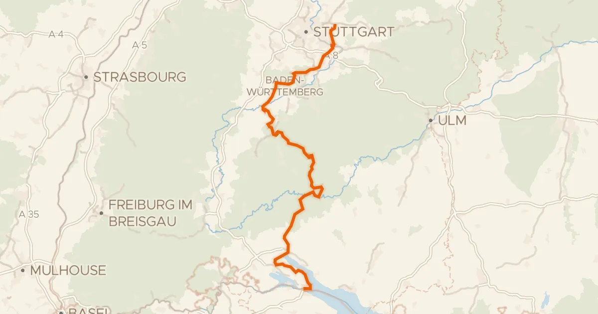
Touring77% paved
Hohenzollern Radweg
271 km↑ 3,514 m12 km away
Wasserscheide Rhein/Donau
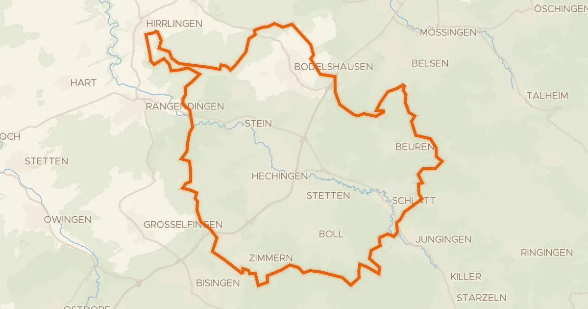
Gravel17% paved
Rondje Espenloch-Hintere Halde en Zollerhalde
60 km↑ 1,381 m17 km away
Road bike100% paved
Rondje Herdle en Hochwiesen-Pfullinger Berg
76 km↑ 1,142 m18 km away
Road bike100% paved
Rondje langs de Zollerhalde en de Geifitze
79 km↑ 1,078 m18 km away