Back to the librarykm 2 · May 2023 · © KrebsRap / Mapillary, CC BY-SA km 36 · Jul 2022 · © tasmaniadevil / Mapillary, CC BY-SA km 55 · Aug 2022 · © poseidon69 / Mapillary, CC BY-SA km 74 · Nov 2020 · © googie0815 / Mapillary, CC BY-SA km 44–53km 66–66km 66–68km 69–71km 74–76
Road bikeRouteCasterRound trip
Rondje Herdle en Hochwiesen-Pfullinger Berg
Distance
76 km
Ascent
1,142 m
Highest point
906 m
100% paved
Start from your location
Ride there from home: we find the shortest way to the loop and start the loop from there.
The ride
Roll out from Parkeerplaats Herdle and the Schwäbische Alb core zone opens the ride. Next comes the Hochwiesen-Pfullinger Berg nature reserve, then Bei der Mühle, before Herdle brings you home. It's 75.5 km, entirely paved, with 1142 m of climbing along the way.
Along the way
Climbs
Climb 1Cat. 3
8.5 km at 3.3% · max 18.7%
Climb 2Hill
0.3 km at 8.5% · max 15.1%
Climb 3Cat. 4
2 km at 4.9% · max 13.6%
Climb 4Hill
1.5 km at 3.9% · max 16.7%
Climb 5Cat. 4
1.5 km at 5.9% · max 16.8%
Routes nearby
Touring77% paved
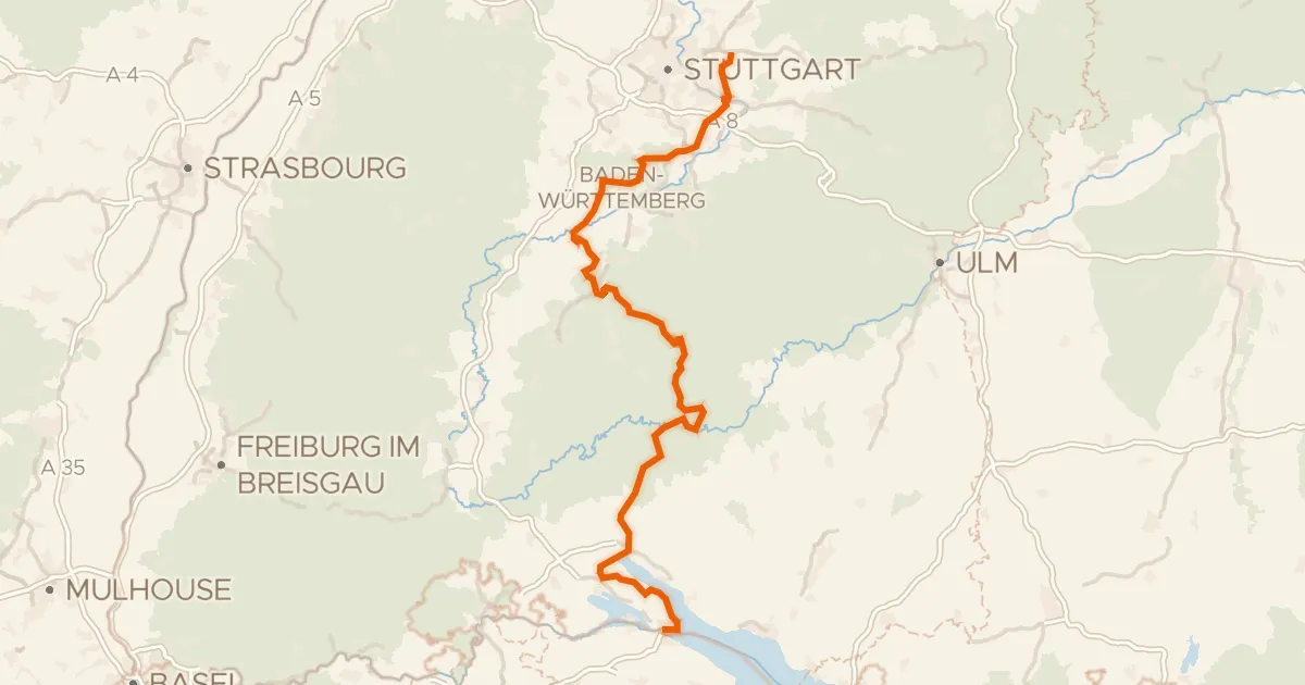
Hohenzollern Radweg
271 km↑ 3,514 m3 km away
Wasserscheide Rhein/Donau
Road bike100% paved
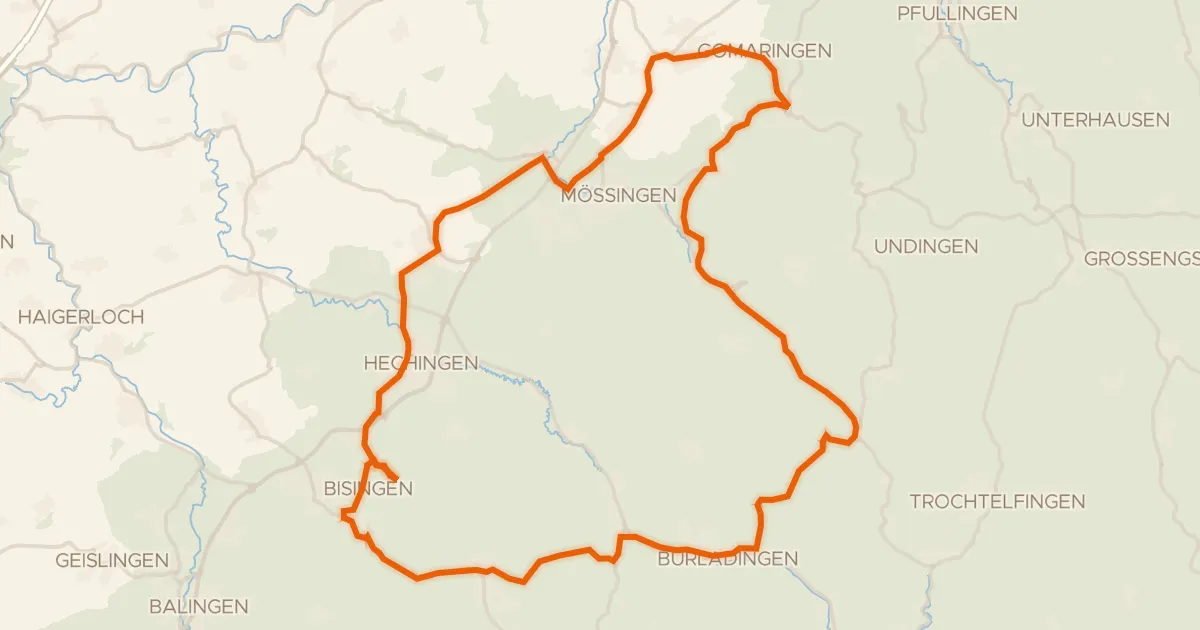
Rondje langs de Zollerhalde en de Geifitze
79 km↑ 1,078 m16 km away
Gravel26% paved
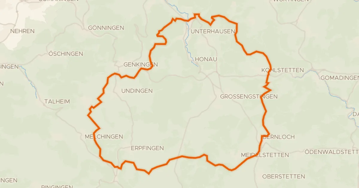
Rondje Untergreifenstein en Ruine Stahleck
61 km↑ 1,123 m16 km away
Road bike98% paved
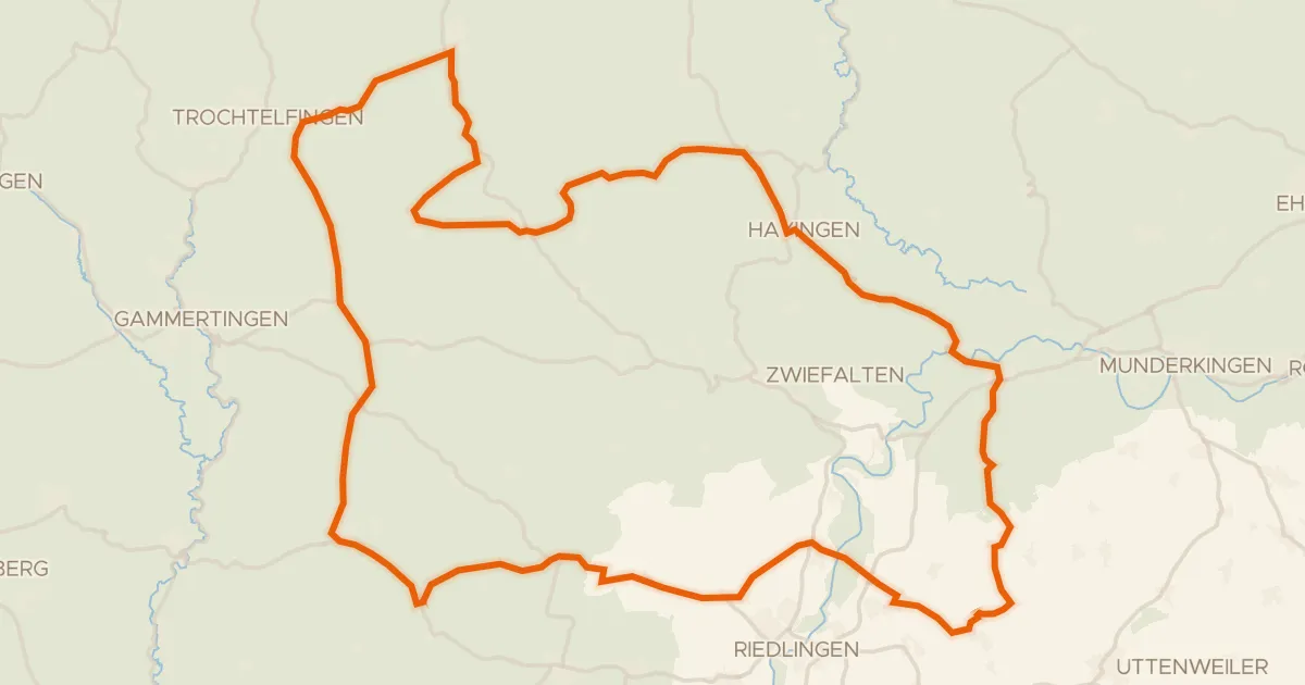
Rondje Burg Rechtenstein en Burgruine Bussen
91 km↑ 1,190 m18 km away
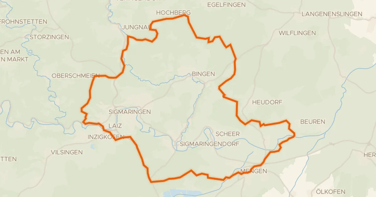
Gravel19% paved
Rondje Ruine Hertenstein en Naturpark Obere Donau
60 km↑ 822 m19 km away
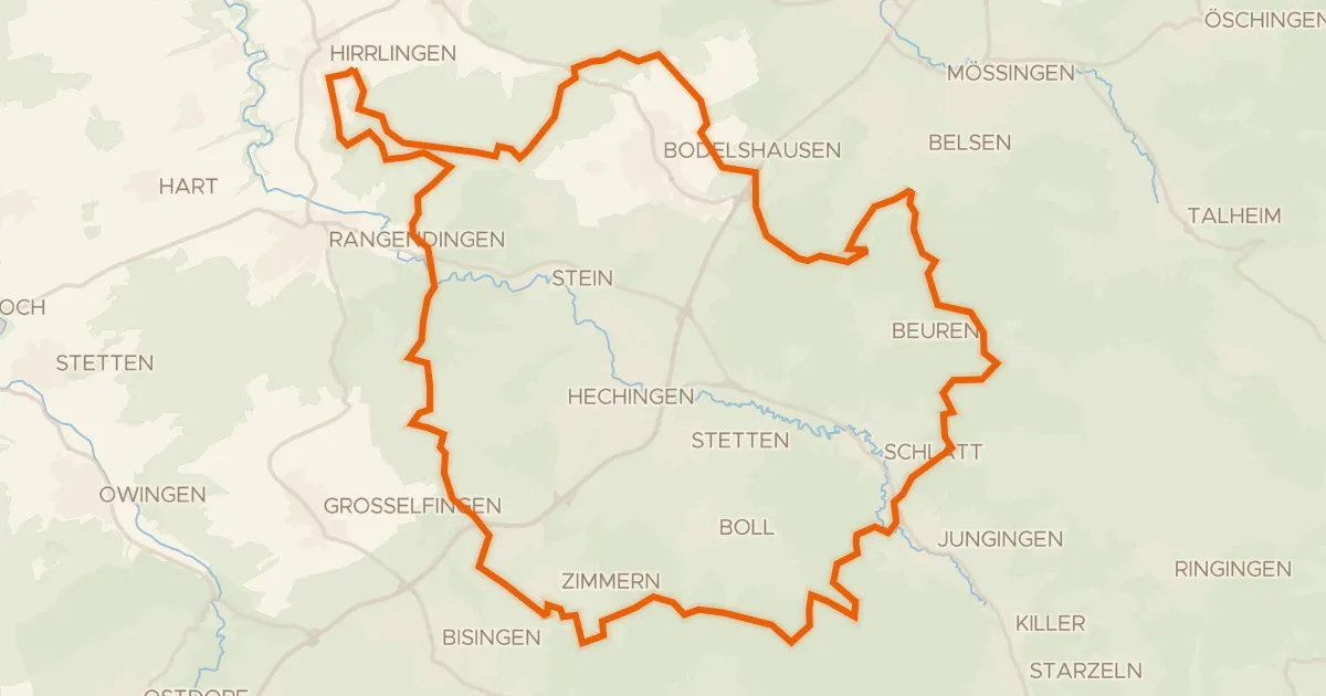
Gravel17% paved
Rondje Espenloch-Hintere Halde en Zollerhalde
60 km↑ 1,381 m19 km away