Back to the librarykm 34 · Oct 2019 · © snaysard / Mapillary, CC BY-SA km 14–14km 15–16km 17–19km 22–23km 30–31km 34–34km 40–44km 44–45km 48–49km 52–54
GravelRouteCasterRound trip
Rondje Untergreifenstein en Ruine Stahleck
Distance
61 km
Ascent
1,123 m
Highest point
825 m
26% paved
Start from your location
Ride there from home: we find the shortest way to the loop and start the loop from there.
The ride
Roll out from Parkeerplaats Großer Stöckberg and let the gravel take over: most of this 61.3 km loop runs unpaved. You pass the Wonhalde-Spielberg and Hohenäcker-Imenberg nature reserves, then dive into the Kernzone of the Biosphärengebiet Schwäbische Alb. Three castles follow in a row: Untergreifenstein, Burg Greifenstein and the Ruine Stahleck. One last nature reserve, Ohnastetter Bühl, and you're back at the start.
Along the way
Climbs
Climb 1Hill
0.8 km at 7.6% · max 23.7%
Climb 2Hill
1 km at 4.2% · max 18.7%
Climb 3Hill
2.1 km at 3.4% · max 20.8%
Climb 4Hill
0.9 km at 4.7% · max 10.3%
Climb 5Hill
1.2 km at 5.4% · max 11%
Climb 6Hill
0.6 km at 9.3% · max 19%
Climb 7Cat. 3
3.9 km at 6.9% · max 50.8%
Climb 8Hill
0.9 km at 3.8% · max 9.4%
Climb 9Hill
1.1 km at 5.2% · max 19.6%
Climb 10Cat. 4
2.1 km at 4.6% · max 23.2%
Routes nearby
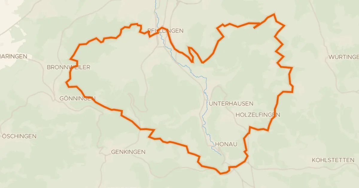
Gravel30% paved
Rondje Kugelberg en Schloss Pfullingen
53 km↑ 1,223 m12 km away
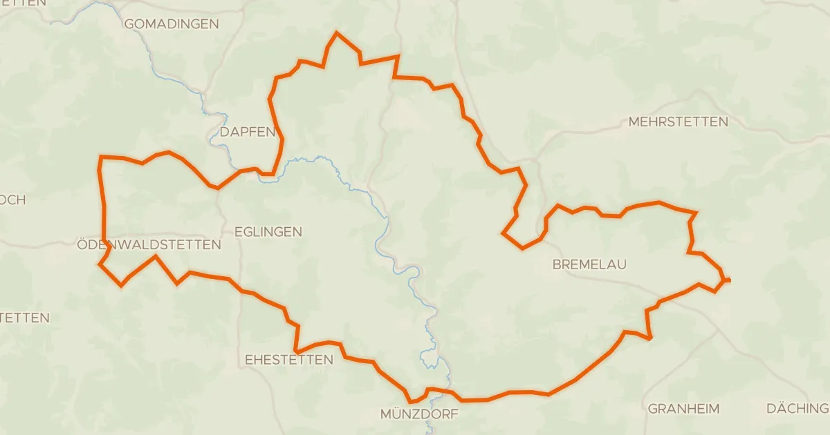
Gravel28% paved
Rondje Geißberg en Steinbuckel
60 km↑ 1,037 m12 km away
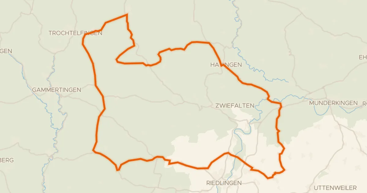
Road bike98% paved
Rondje Burg Rechtenstein en Burgruine Bussen
91 km↑ 1,190 m13 km away
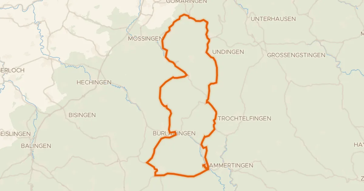
Road bike100% paved
Rondje Herdle en Hochwiesen-Pfullinger Berg
76 km↑ 1,142 m14 km away
Road bike97% paved
Rondje Ruine Schloss Justingen en Upfinger Ried
75 km↑ 1,084 m15 km away
Touring77% paved
Hohenzollern Radweg
271 km↑ 3,514 m19 km away
Wasserscheide Rhein/Donau