Back to the librarykm 14 · Apr 2025 · © ray66 / Mapillary, CC BY-SA km 30 · Apr 2025 · © ray66 / Mapillary, CC BY-SA km 49 · Jan 2018 · © ray66 / Mapillary, CC BY-SA km 61 · May 2026 · © tasmaniadevil / Mapillary, CC BY-SA km 0–2km 7–9km 15–16km 16–17km 37–41km 49–52km 71–73
Road bikeRouteCasterRound trip
Rondje Ruine Schloss Justingen en Upfinger Ried
Distance
75 km
Ascent
1,084 m
Highest point
826 m
97% paved
Start from your location
Ride there from home: we find the shortest way to the loop and start the loop from there.
The ride
Start and finish at Parkeerplaats Upfinger Ried and roll through the Schwäbische Alb biosphere reserve, then on past the Höhnriß-Neuben and Schopflochberg nature reserves. Three castle ruins follow — Schloss Justingen, Hohenhundersingen and Bichishausen — before Burg Buttenhausen and back to the Upfinger Ried. Along the way: 75.2 km, 1084 m of climbing, and a surface that's almost entirely paved.
Along the way
Climbs
Climb 1Cat. 4
2.1 km at 4.5% · max 14.9%
Climb 2Hill
1.5 km at 4.7% · max 12.8%
Climb 3Hill
0.5 km at 5.2% · max 7.4%
Climb 4Hill
0.7 km at 4.2% · max 5.5%
Climb 5Cat. 4
3.5 km at 4.2% · max 16.2%
Climb 6Cat. 4
3.2 km at 3.6% · max 17.4%
Climb 7Hill
1.7 km at 3% · max 4.9%
Routes nearby
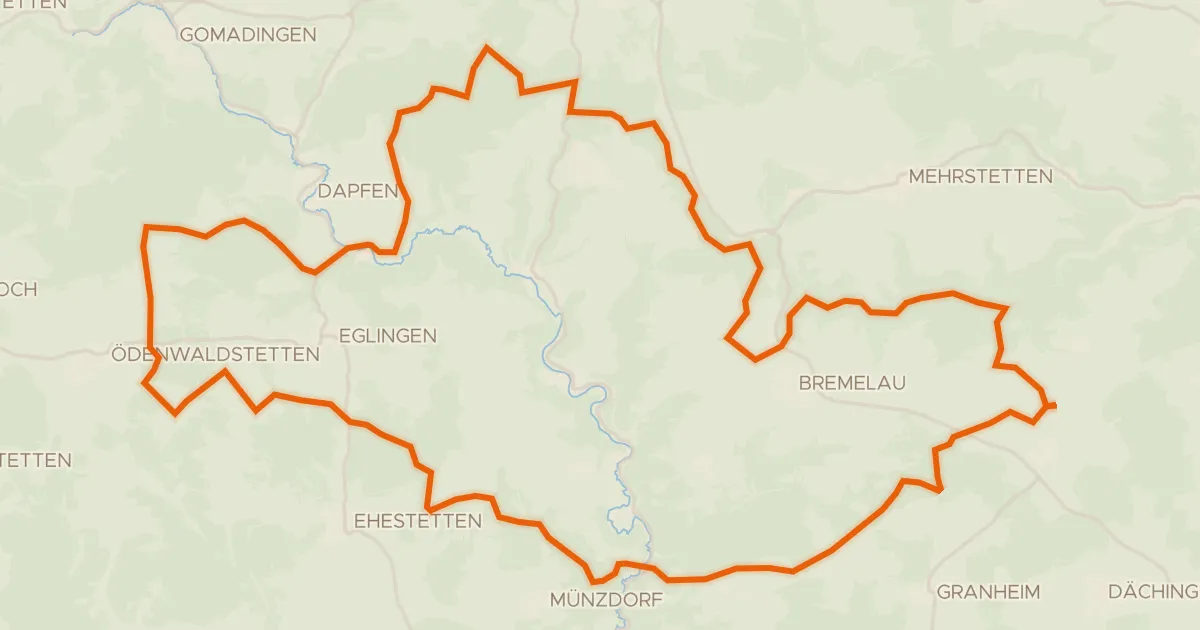
Gravel28% paved
Rondje Geißberg en Steinbuckel
60 km↑ 1,037 m12 km away
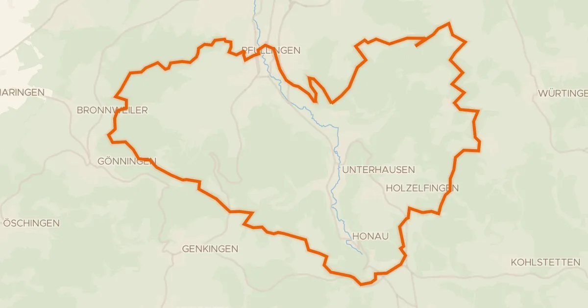
Gravel30% paved
Rondje Kugelberg en Schloss Pfullingen
53 km↑ 1,223 m13 km away
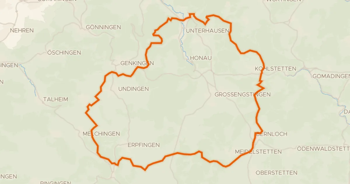
Gravel26% paved
Rondje Untergreifenstein en Ruine Stahleck
61 km↑ 1,123 m14 km away
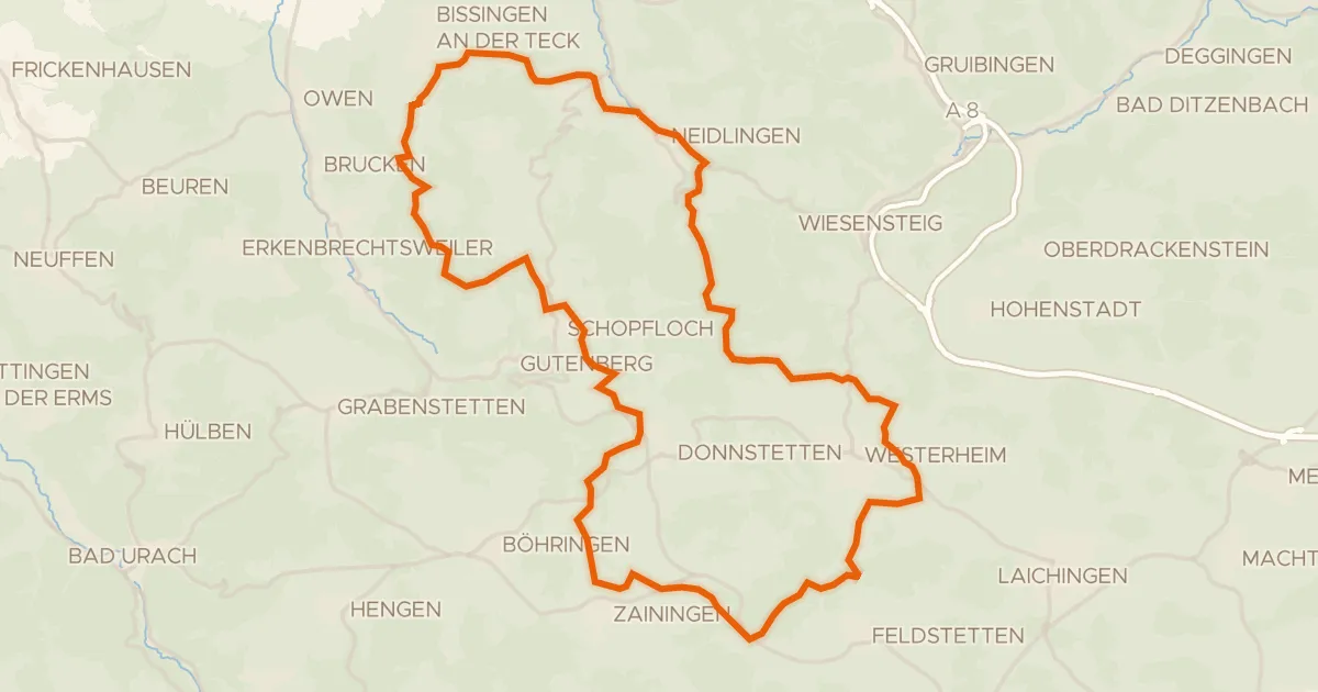
Gravel31% paved
Rondje Obere Diepoldsburg en Teck
58 km↑ 1,270 m15 km away
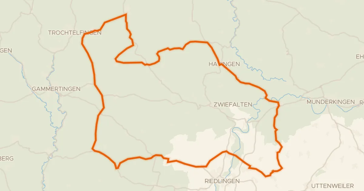
Road bike98% paved
Rondje Burg Rechtenstein en Burgruine Bussen
91 km↑ 1,190 m23 km away
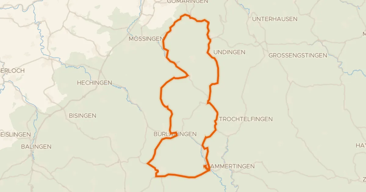
Road bike100% paved
Rondje Herdle en Hochwiesen-Pfullinger Berg
76 km↑ 1,142 m24 km away