Back to the librarykm 2 · May 2026 · © wegavision / Mapillary, CC BY-SA km 20 · Aug 2019 · © changchun1 / Mapillary, CC BY-SA km 55 · May 2024 · © changchun1 / Mapillary, CC BY-SA km 68 · Dec 2025 · © karthoo / Mapillary, CC BY-SA km 26–28km 28–30km 37–37
Road bikeRouteCasterRound trip
Rondje Bruch bei Stettfeld en Altenbachtal und Galgenberg
Distance
75 km
Ascent
595 m
Highest point
272 m
100% paved
Start from your location
Ride there from home: we find the shortest way to the loop and start the loop from there.
The ride
Roll out of Waghäusel and let the ride carry you through Hochholz-Kapellenbruch nature reserve, then Altenbachtal und Galgenberg nature reserve. Onward past Kleiner Kraichbach nature reserve and through Bruch bei Stettfeld nature reserve, all on paved ground across 75.3 km with 595 m of climbing. The road bends and rises, and Waghäusel waits at the end.
Along the way
Climbs
Climb 1Hill
1.7 km at 3.2% · max 7.6%
Climb 2Hill
1.9 km at 3.5% · max 6.9%
Climb 3Hill
0.7 km at 4.1% · max 5.6%
Routes nearby
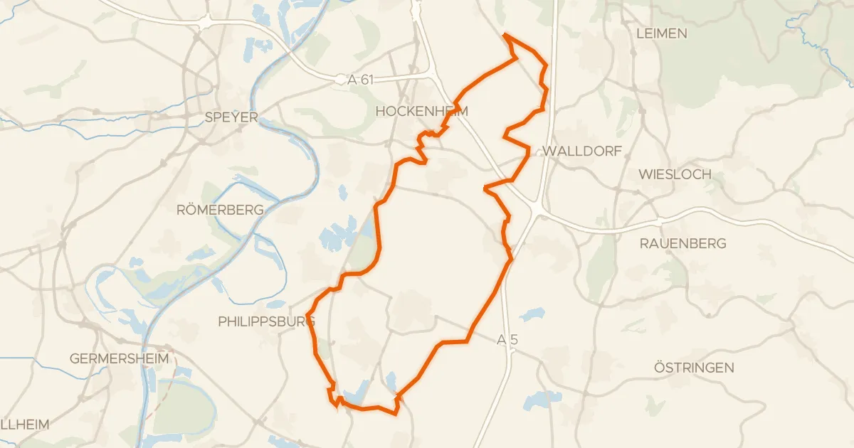
Gravel42% paved
Rondje Eremitage Waghäusel en Wagbachniederung
56 km↑ 120 m4 km away
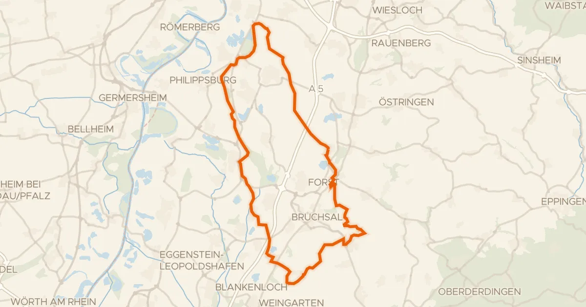
Gravel49% paved
Rondje Burg Obergrombach en Eremitage Waghäusel
80 km↑ 589 m9 km away
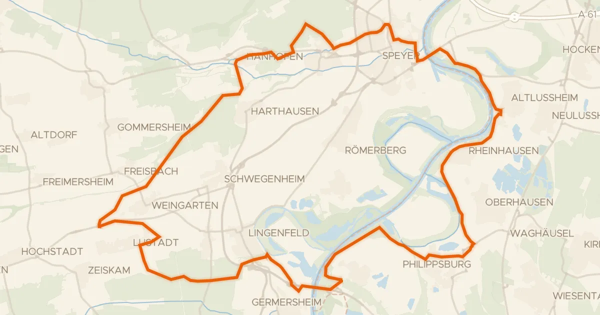
Gravel47% paved
Rondje Schwarzwald en Bellheimer Wald
65 km↑ 200 m11 km away
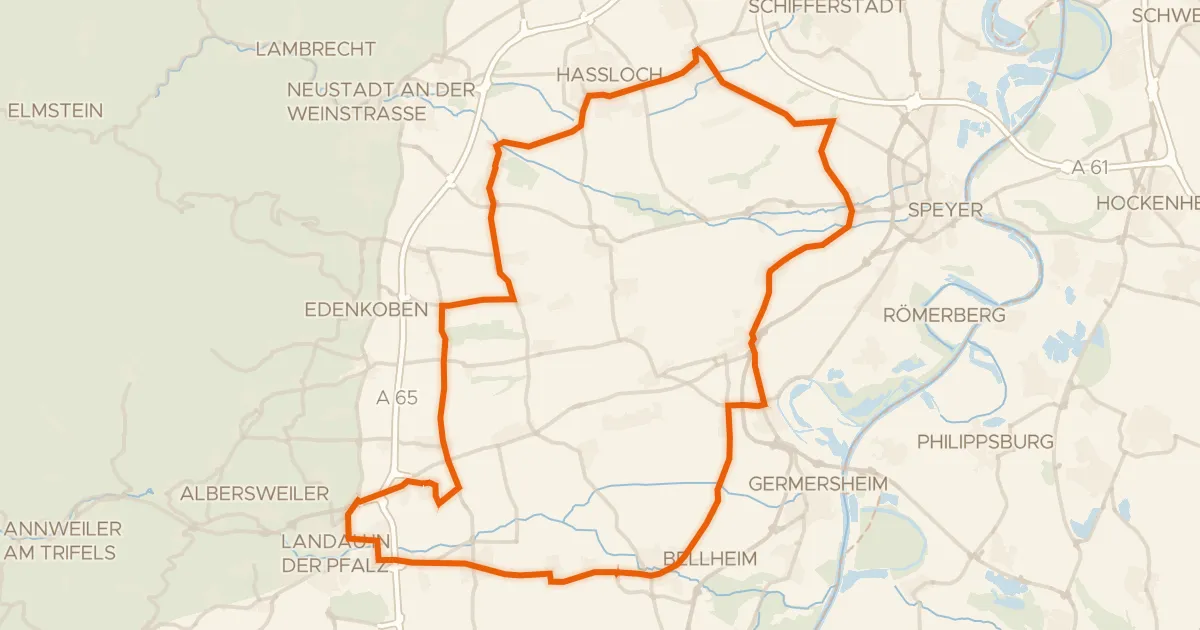
Road bike99% paved
Rondje Woogwiesen en Böhler Bruch-Kandelwiese
76 km↑ 242 m19 km away
Gravel39% paved
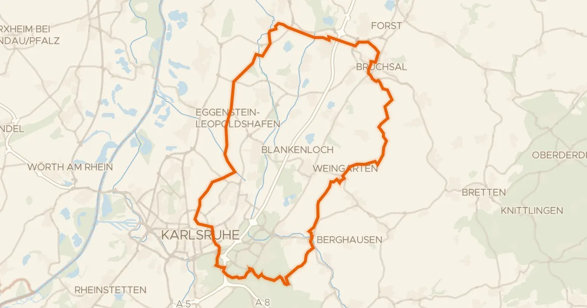
Rondje Schloss Bruchsal en Schloss Karlsruhe
78 km↑ 729 m21 km away
Road bike99% paved
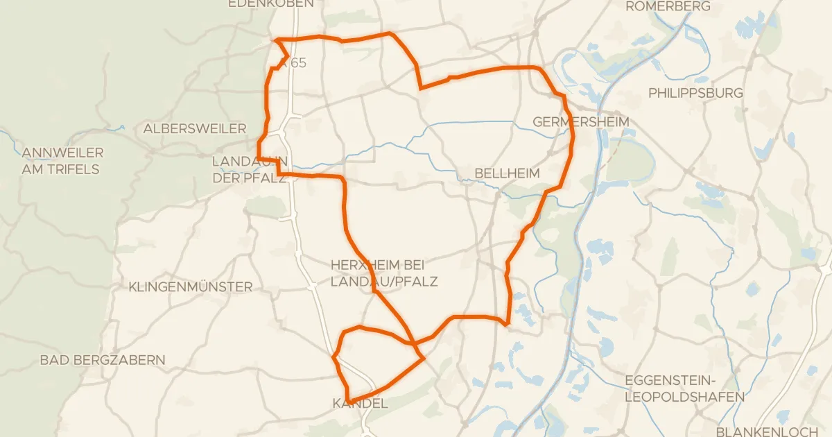
Rondje Lünette 83 en Bienwald
80 km↑ 281 m21 km away