Back to the librarykm 5 · Jul 2022 · © TheDuckListener / Mapillary, CC BY-SA km 22 · Aug 2021 · © mfa / Mapillary, CC BY-SA km 75 · May 2022 · © tasmaniadevil / Mapillary, CC BY-SA km 6–9km 10–11km 14–15km 22–24km 25–27
GravelRouteCasterRound trip
Rondje Burg Obergrombach en Eremitage Waghäusel
Distance
80 km
Ascent
589 m
Highest point
259 m
49% paved
Start from your location
Ride there from home: we find the shortest way to the loop and start the loop from there.
The ride
Roll out of Weiher and let the mix of paved and unpaved keep you guessing. You pass the Rotenberg nature reserve, then Burg Obergrombach castle, before the Michaelsberg und Habichtsbuckel reserve and the Gewann Frankreich-Wiesental. The Wagbachniederung reserve and Eremitage Waghäusel castle round out the loop before you return to Weiher.
Along the way
Climbs
Climb 1Hill
2.5 km at 3% · max 9%
Climb 2Hill
0.7 km at 5.8% · max 19.1%
Climb 3Cat. 4
1.3 km at 6.5% · max 16.2%
Climb 4Hill
1.2 km at 4% · max 9.9%
Climb 5Cat. 4
1.7 km at 5.7% · max 13.2%
Routes nearby
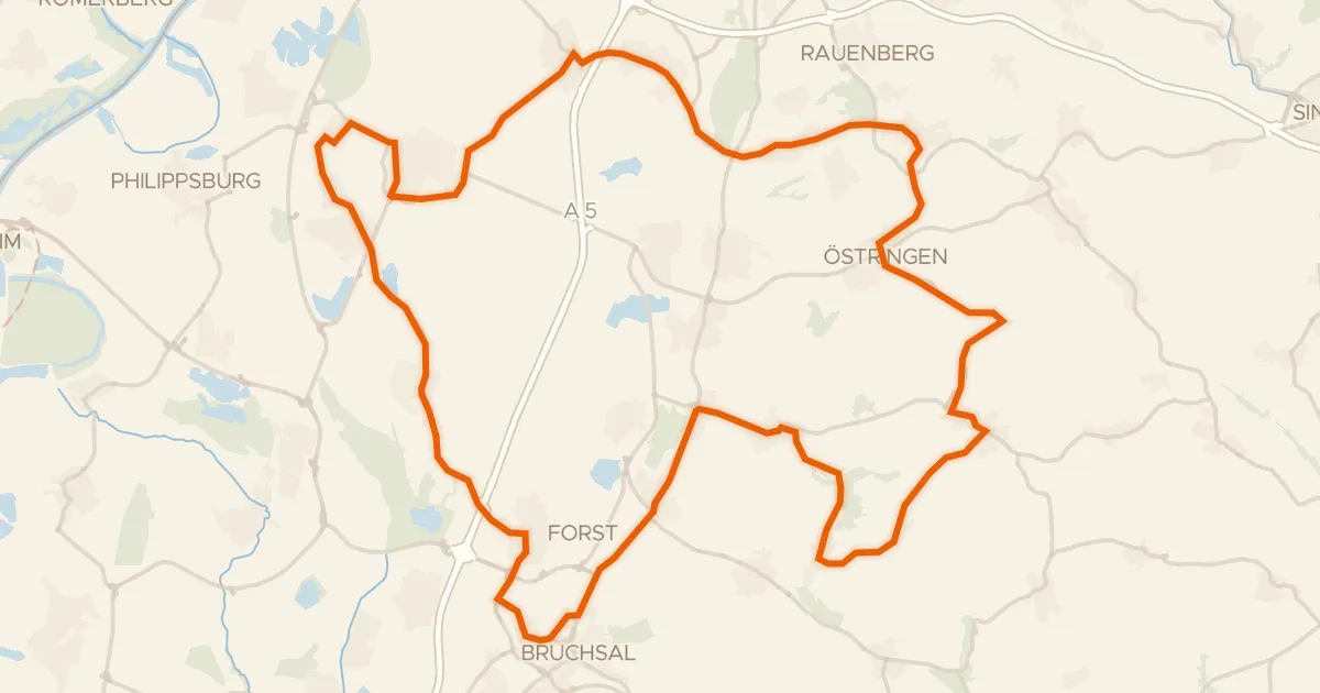
Road bike100% paved
Rondje Bruch bei Stettfeld en Altenbachtal und Galgenberg
75 km↑ 595 m2 km away
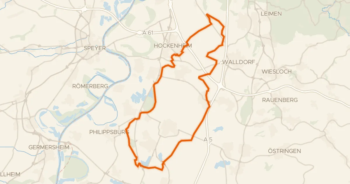
Gravel42% paved
Rondje Eremitage Waghäusel en Wagbachniederung
56 km↑ 120 m11 km away
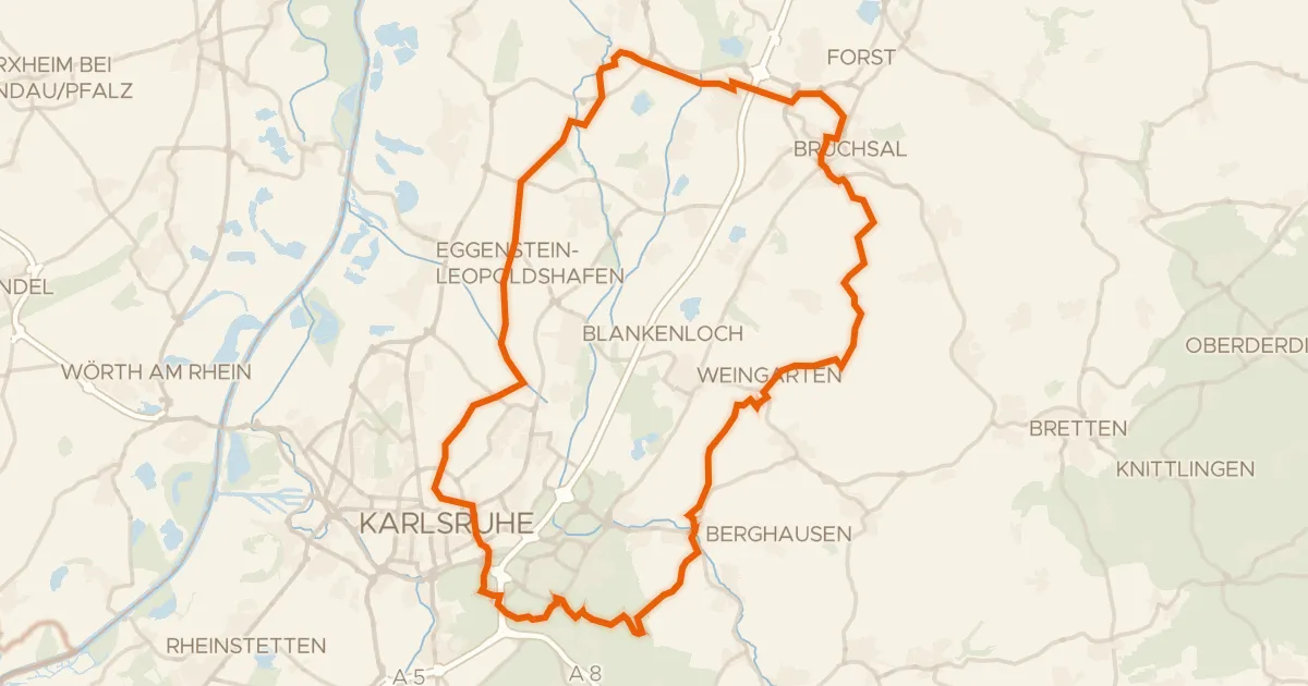
Gravel39% paved
Rondje Schloss Bruchsal en Schloss Karlsruhe
78 km↑ 729 m15 km away
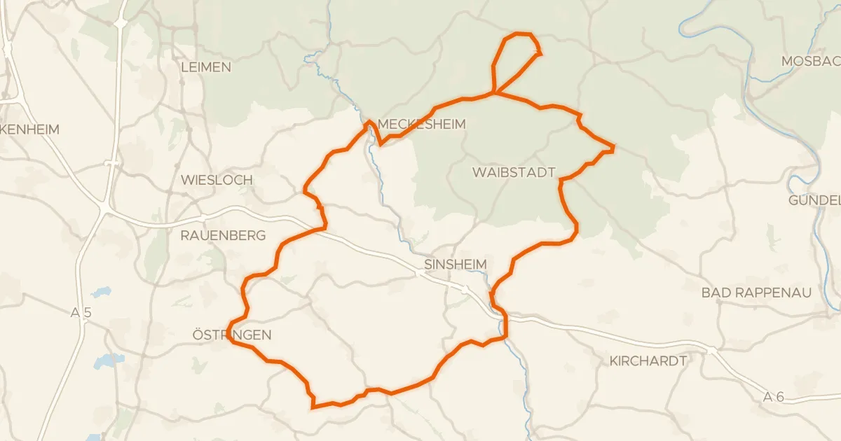
Road bike100% paved
Rondje Horrenburg en Altes Schloss
82 km↑ 995 m20 km away
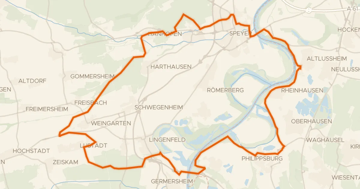
Gravel47% paved
Rondje Schwarzwald en Bellheimer Wald
65 km↑ 200 m21 km away
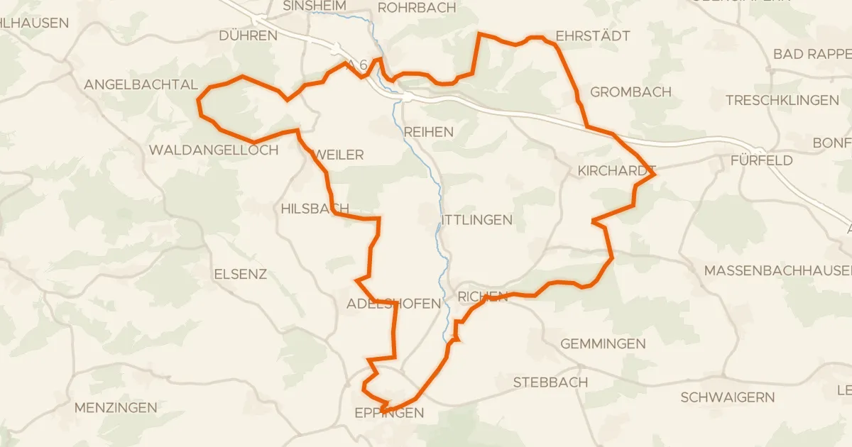
Gravel50% paved
Rondje Schlösschen en Burg Steinsberg
60 km↑ 646 m23 km away