Back to the librarykm 5–6km 12–13km 13–15km 28–29km 29–30km 50–51km 52–53km 54–57
GravelMade by RouteCasterRound trip
Langs de Safen en de Pöllauer Saifen
Distance
64 km
Ascent
788 m
Highest point
447 m
36% paved
Start from your location
Ride there from home: we find the shortest way to the loop and start the loop from there.
The ride
Roll out from Parkeerplaats Hartberger Gmoos and let the ride unfold along the water. You follow the Pöllauer Saifen river, then the Safen, before meeting the Hartberger Safen on the way back. With 64.3 km ahead, the route mixes paved and unpaved surfaces, so expect the character under your wheels to shift as you go. Climbs add up too, and the loop brings you home to where you started.
Climbs
Climb 1Hill
0.4 km at 7.6% · max 11%
Climb 2Hill
0.7 km at 9.2% · max 14%
Climb 3Hill
1.5 km at 5% · max 10.7%
Climb 4Hill
0.8 km at 3.9% · max 6.7%
Climb 5Hill
0.6 km at 4.7% · max 8.7%
Climb 6Hill
1.7 km at 4.1% · max 13.1%
Climb 7Hill
0.5 km at 6.3% · max 12.4%
Climb 8Cat. 4
2.7 km at 3.2% · max 7.1%
Routes nearby
Road bike96% paved
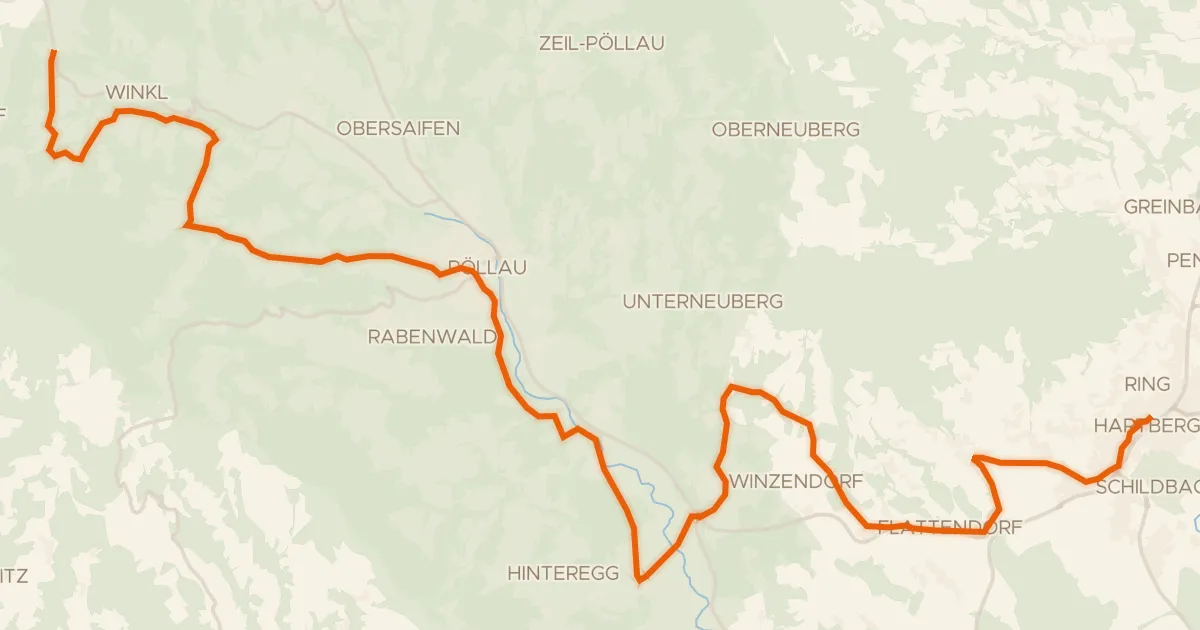
Pöllauer Radweg
33 km↑ 872 m9 km away

Road bike100% paved
Rondje Schloss Hartberg en Lafnitz
74 km↑ 1,340 m10 km away

Road bike100% paved
Rondje Schloss Stubenberg en Safen
73 km↑ 790 m12 km away

Gravel51% paved
Rondje Ilzbach en Feistritz
62 km↑ 761 m17 km away
Road bike100% paved
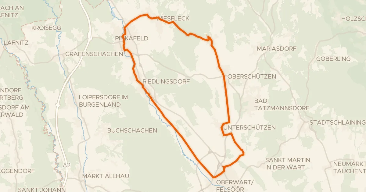
Pinka-Radweg
32 km↑ 285 m17 km away

Gravel47% paved
Rondje Schloß Birkenstein en Naturpark Almenland
58 km↑ 1,803 m18 km away