Back to the librarykm 3–4km 4–5km 8–9km 9–9km 16–17km 18–19km 54–55
GravelMade by RouteCasterRound trip
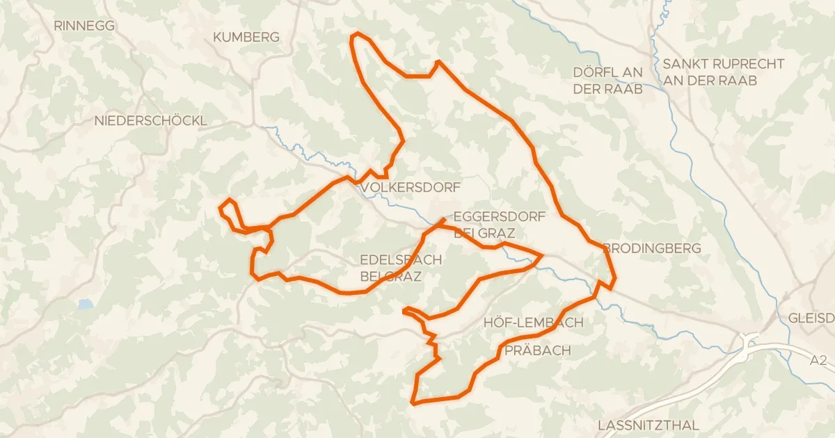
Rondje Ilzbach en Feistritz
Distance
62 km
Ascent
761 m
Highest point
457 m
51% paved
Start from your location
Ride there from home: we find the shortest way to the loop and start the loop from there.
The ride
From Großpesendorf the route rolls out toward the Feistritz river, then follows the Ilzbach, mixing paved and unpaved stretches across 62.3 km and 761 m of climbing. You will not be bored: the surface keeps changing under your wheels, so the ride asks you to stay switched on. Rivers on both sides of the loop keep the scenery moving before the road turns you back toward the start. Großpesendorf is waiting where you left it.
Climbs
Climb 1Hill
0.9 km at 4.8% · max 14.5%
Climb 2Hill
1.2 km at 5.1% · max 14.2%
Climb 3Cat. 4
1.3 km at 6.4% · max 11.7%
Climb 4Hill
0.3 km at 8.4% · max 11.4%
Climb 5Hill
1 km at 3.1% · max 6.8%
Climb 6Hill
0.8 km at 4.6% · max 10%
Climb 7Hill
0.5 km at 8.9% · max 15.9%
Routes nearby

Road bike100% paved
Rondje Schloss Radmannsdorf en Schloss Thannhausen
77 km↑ 1,441 m10 km away

Road bike100% paved
Rondje Schloss Stubenberg en Safen
73 km↑ 790 m10 km away

Gravel45% paved
Rondje langs Schloss Stadl en Rabnitzbach
59 km↑ 1,318 m13 km away
Road bike97% paved
Kapellen Tour
43 km↑ 833 m13 km away

Gravel47% paved
Rondje Feistritz en Ilzbach
61 km↑ 894 m15 km away

Gravel47% paved
Rondje Schloß Birkenstein en Naturpark Almenland
58 km↑ 1,803 m17 km away