Back to the librarykm 10–10km 27–28km 29–31km 36–37km 47–48km 51–54km 54–55km 56–57
GravelMade by RouteCasterRound trip
Rondje Feistritz en Ilzbach
Distance
61 km
Ascent
894 m
Highest point
408 m
47% paved
Start from your location
Ride there from home: we find the shortest way to the loop and start the loop from there.
The ride
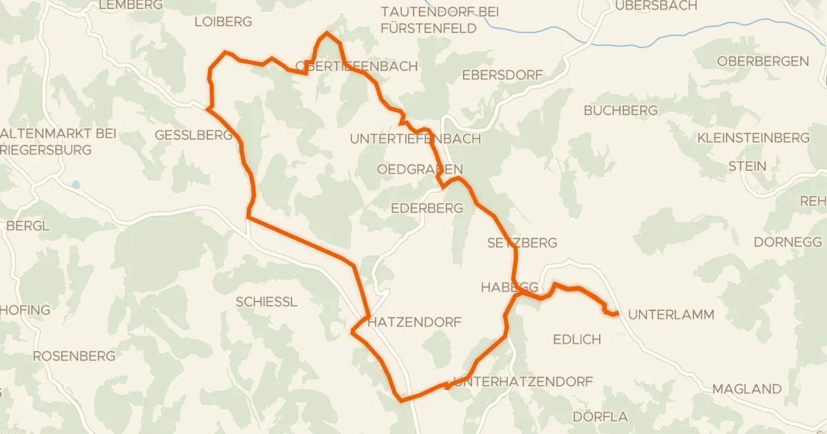
Roll out of Ilz and settle in for 61.1 km that keeps you guessing, with 53% of it unpaved. The route follows the Feistritz river out of the village before turning to the Ilzbach river on the way back. With 894 m of climbing spread across the loop, it's a steady day of ups and downs. Ilz waits at the finish to close the circle.
Climbs
Climb 1Hill
0.9 km at 4.7% · max 7.6%
Climb 2Cat. 4
1.3 km at 6.9% · max 12.7%
Climb 3Hill
1.4 km at 4.4% · max 21%
Climb 4Hill
1.1 km at 3.6% · max 9.6%
Climb 5Hill
1.1 km at 4.8% · max 15.7%
Climb 6Hill
2.4 km at 3.1% · max 17.7%
Climb 7Hill
1.2 km at 5.4% · max 22.1%
Climb 8Hill
1 km at 7.2% · max 16.8%
Routes nearby

Gravel51% paved
Rondje Ilzbach en Feistritz
62 km↑ 761 m7 km away

Road bike100% paved
Rondje Schloss Stubenberg en Safen
73 km↑ 790 m9 km away

Road bike99% paved
Rondje Schloss Kornberg en Feistritz
98 km↑ 1,127 m11 km away
Road bike100% paved
Panoramatour
24 km↑ 431 m12 km away

Gravel36% paved
Langs de Safen en de Pöllauer Saifen
64 km↑ 788 m13 km away

Road bike100% paved
Rondje Riegersburg en Naturpark Raab
91 km↑ 1,086 m15 km away