Back to the librarykm 1–2km 2–3km 5–6km 6–7km 7–8km 9–9km 9–10km 10–15km 21–22km 24–26km 26–31km 33–34km 34–34km 40–41km 48–49km 52–54km 55–57
GravelMade by RouteCasterRound trip
Rondje Schloß Birkenstein en Naturpark Almenland
Distance
58 km
Ascent
1,803 m
Highest point
982 m
47% paved
Start from your location
Ride there from home: we find the shortest way to the loop and start the loop from there.
The ride
Roll out of Birkfeld and the climbing starts early: 1803 m of elevation gain over 58.5 km, with a little more than half of it unpaved. You pass Schloß Birkenstein, roll into the Naturpark Almenland, and follow the Feistritz river before Schloss Frondsberg comes into view. Then it's back to Birkfeld, legs full and grin wide.
Climbs
Climb 1Hill
1.4 km at 4.1% · max 7.6%
Climb 2Hill
1 km at 7.6% · max 19.2%
Climb 3Hill
0.5 km at 13.7% · max 30.8%
Climb 4Cat. 4
0.7 km at 13.8% · max 21.2%
Climb 5Cat. 4
1.1 km at 8.7% · max 32.7%
Climb 6Hill
0.3 km at 12.7% · max 20.1%
Climb 7Hill
0.6 km at 5.8% · max 27.5%
Climb 8Cat. 3
4.3 km at 5.6% · max 25.1%
Climb 9Hill
1 km at 8% · max 22.3%
Climb 10Hill
1.8 km at 4.4% · max 16.8%
Climb 11Cat. 2
4.9 km at 6.6% · max 24.4%
Climb 12Hill
1 km at 5.6% · max 18.5%
Climb 13Hill
0.3 km at 12.4% · max 16.8%
Climb 14Hill
1.3 km at 3.3% · max 11.6%
Climb 15Hill
0.7 km at 4.1% · max 10.1%
Climb 16Cat. 4
2 km at 7.1% · max 25.7%
Climb 17Cat. 4
2.2 km at 5.9% · max 21.2%
Routes nearby
Road bike96% paved
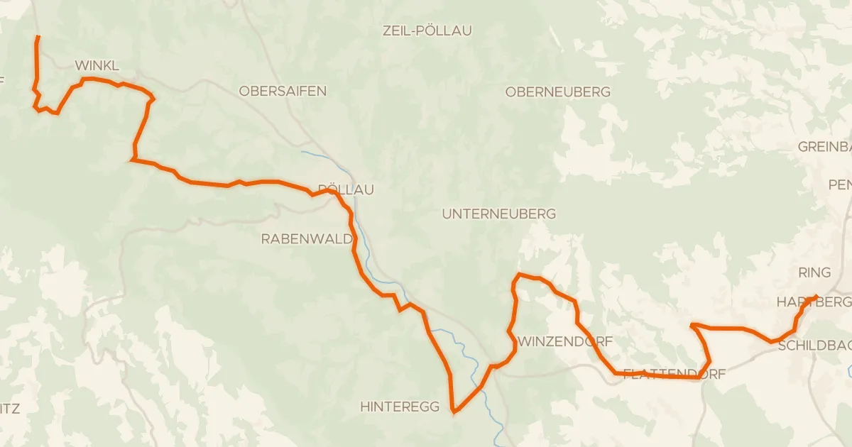
Pöllauer Radweg
33 km↑ 872 m14 km away

Road bike100% paved
Rondje Schloss Hartberg en Lafnitz
74 km↑ 1,340 m15 km away

Road bike100% paved
Rondje Schloss Radmannsdorf en Schloss Thannhausen
77 km↑ 1,441 m21 km away

Road bike100% paved
Rondje Ruine Stadeck en Raab
77 km↑ 1,891 m23 km away
Road bike100% paved
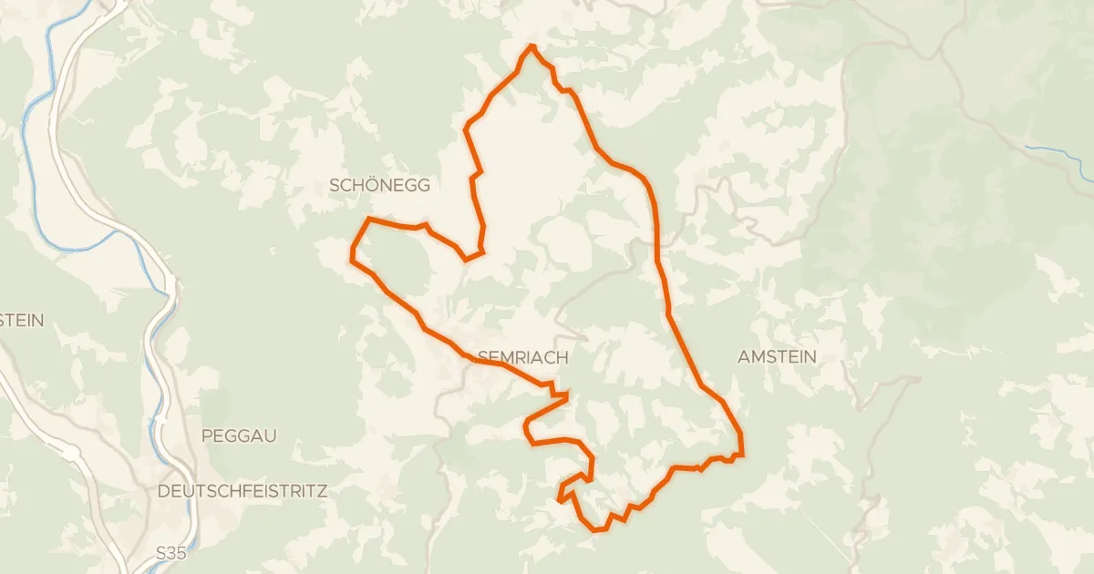
Semriacher Tour
27 km↑ 785 m25 km away
Road bike100% paved
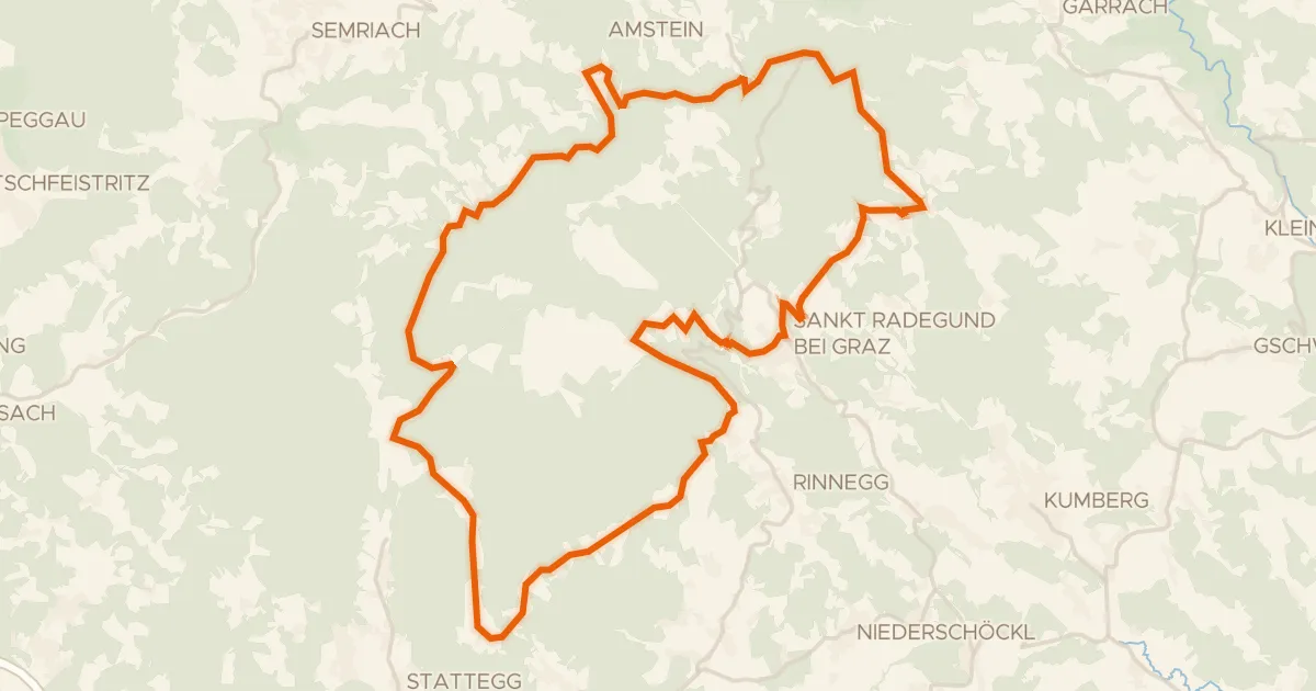
Panorama Radweg
35 km↑ 1,074 m26 km away
Leber