Back to the librarykm 2–6km 18–19km 21–23km 28–32km 37–37km 43–49km 54–59km 60–66km 73–74
Road bikeMade by RouteCasterRound trip
Rondje Ruine Stadeck en Raab
Distance
77 km
Ascent
1,891 m
Highest point
968 m
100% paved
Start from your location
Ride there from home: we find the shortest way to the loop and start the loop from there.
The ride
Roll out of Passail and let the ride unfold: 77.1 km with 1891 m of climbing, all of it on paved surface. You follow the Raab river out of the village, then roll through Naturpark Almenland before picking up the Rabnitzbach. Near the end the Ruine Stadeck castle appears, and then it's back to Passail where you started.
Climbs
Climb 1Cat. 3
3.5 km at 4.6% · max 24.3%
Climb 2Hill
0.9 km at 5.3% · max 9.7%
Climb 3Cat. 4
2.6 km at 3.6% · max 13.5%
Climb 4Cat. 3
3.6 km at 4.8% · max 14.1%
Climb 5Hill
0.4 km at 7.9% · max 10.4%
LeberCat. 2
5.7 km at 5.9% · max 20.2%
Climb 7Cat. 2
4.6 km at 7.4% · max 25.2%
Climb 8Cat. 3
5.2 km at 4.8% · max 23.1%
Climb 9Hill
1.3 km at 4.9% · max 10.7%
Routes nearby
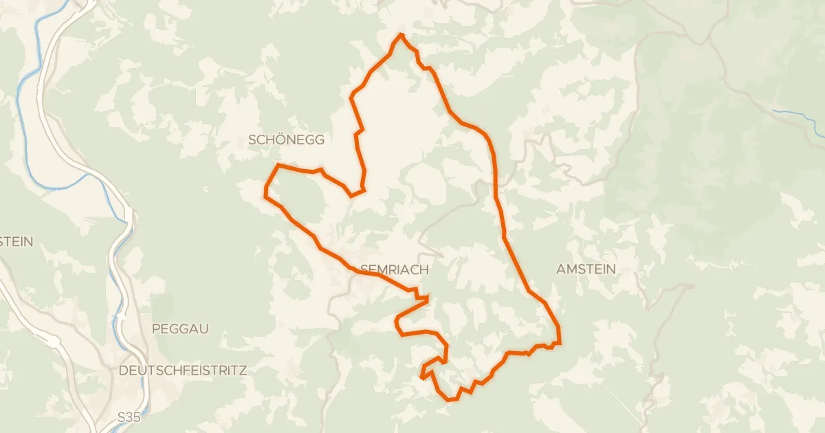
Road bike100% paved
Semriacher Tour
27 km↑ 785 m9 km away
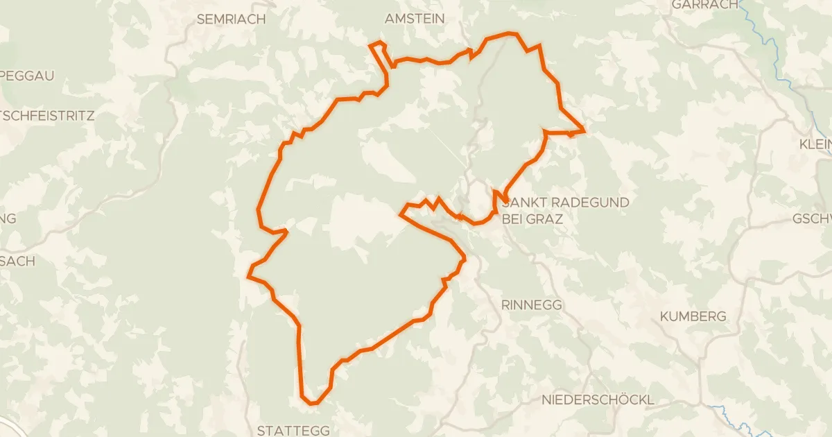
Road bike100% paved
Panorama Radweg
35 km↑ 1,074 m12 km away
Leber
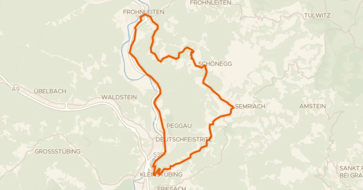
Road bike100% paved
Lurgrotten Tour
35 km↑ 851 m13 km away

Road bike100% paved
Rondje Schloss Radmannsdorf en Schloss Thannhausen
77 km↑ 1,441 m15 km away

Gravel19% paved
Rondje Schloss Weyer en Tiebersee
59 km↑ 3,110 m17 km away

Gravel47% paved
Rondje Schloß Birkenstein en Naturpark Almenland
58 km↑ 1,803 m17 km away