Back to the librarykm 29–30km 30–31km 31–32
Road bikeRound trip
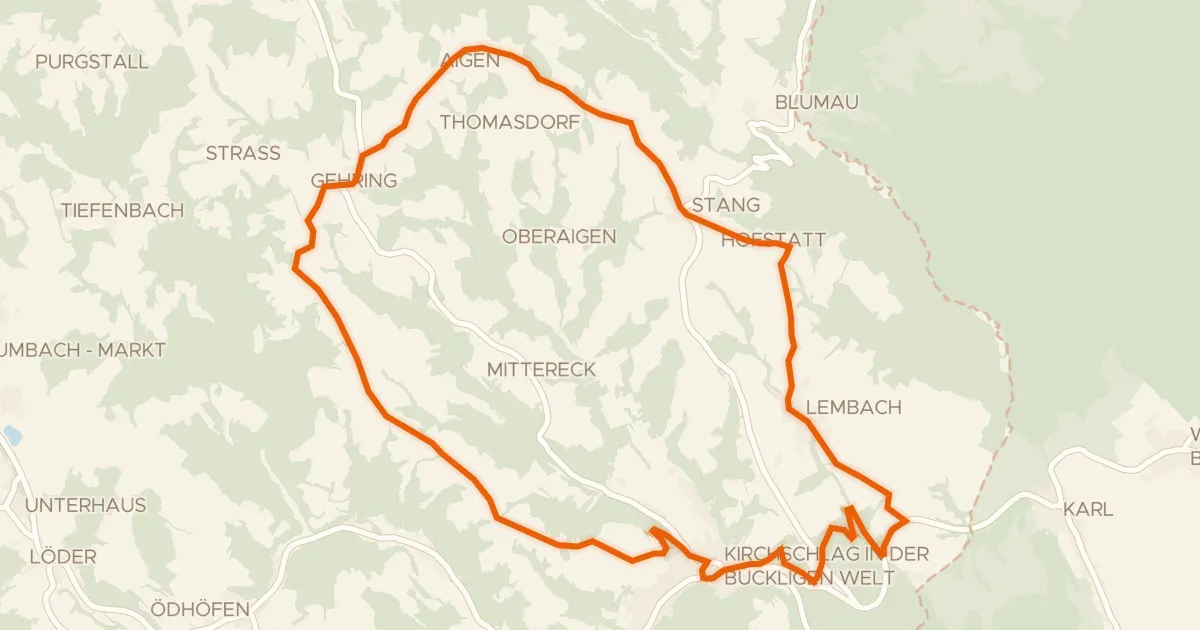
Pinka-Radweg
Distance
32 km
Ascent
285 m
Highest point
473 m
100% paved
Start from your location
Ride there from home: we find the shortest way to the loop and start the loop from there.
The ride
A 32.0 km ride with 285 m of climbing — a nice bit of up without going overboard. The elevation gain keeps things interesting, and the distance gives you room to settle in and enjoy the spin. It's the kind of route where you can find your rhythm and just ride. Nothing complicated, just a good day out on the bike.
Climbs
Climb 1Hill
0.7 km at 4.8% · max 7%
Climb 2Hill
0.7 km at 6.5% · max 11.1%
Climb 3Hill
0.6 km at 5.6% · max 13.3%
Routes nearby
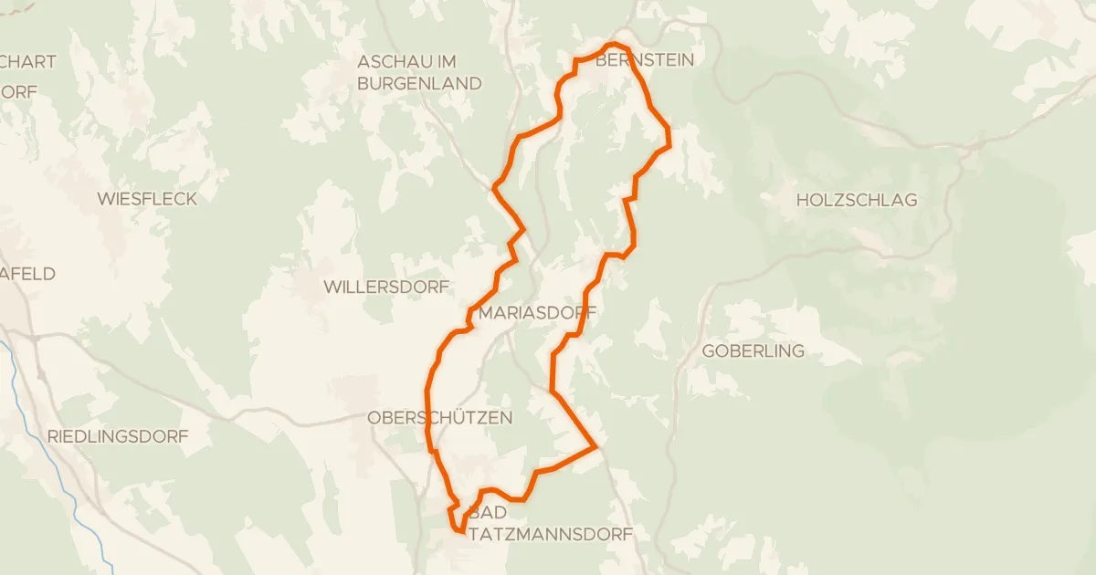
Road bike100% paved
Edelserpentin-Radweg
24 km↑ 532 m5 km away
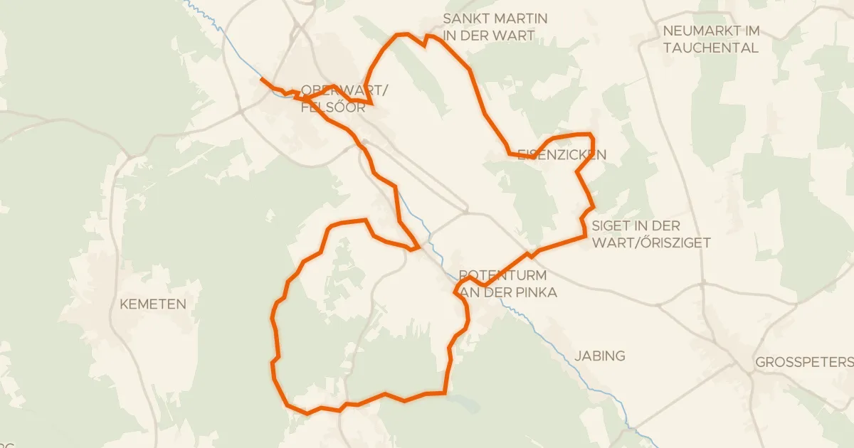
Touring94% paved
Lebenswartweg Oberwart
33 km↑ 409 m13 km away
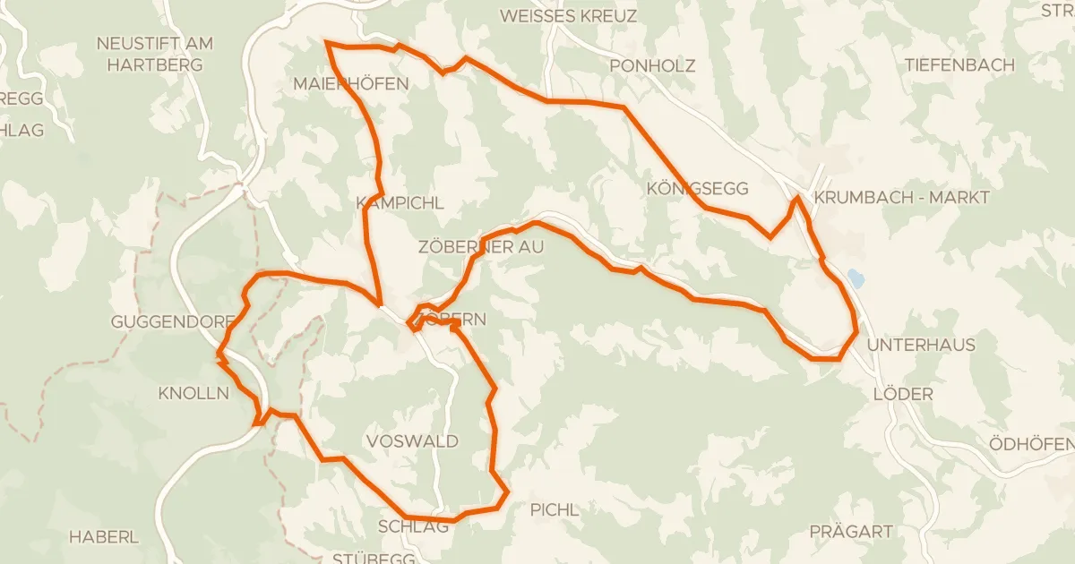
Road bike99% paved
Grenzlandroute (e-Bike)
29 km↑ 664 m16 km away
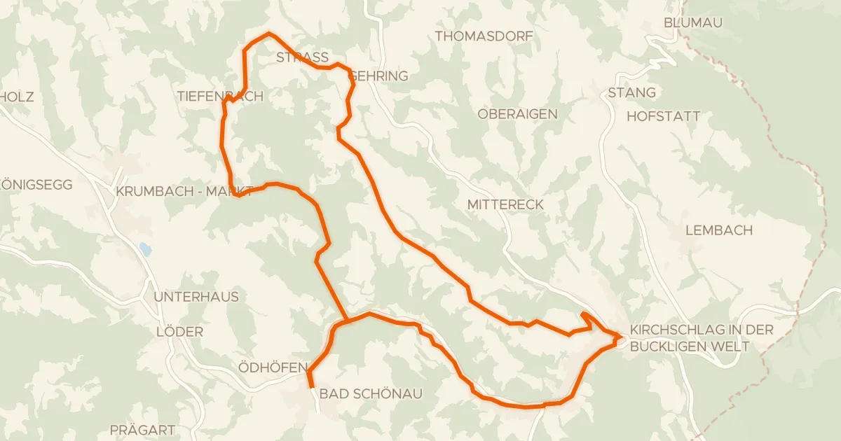
Road bike100% paved
Panoramaroute (e-Bike)
24 km↑ 407 m17 km away
Touring90% paved
Rosengartenroute - E-Bike
22 km↑ 453 m19 km away
Road bike100% paved
Wetterroute (e-Bike)
27 km↑ 549 m23 km away