Back to the library
Road bikeRound trip
Panoramaroute (e-Bike)
Distance
24 km
Ascent
407 m
Highest point
731 m
100% paved
Start from your location
Ride there from home: we find the shortest way to the loop and start the loop from there.
The ride
Here's a ride that keeps things simple: 24.2 km of road with 407 m of climbing. That's a friendly mix of distance and elevation, enough to feel like you've done something without turning the day into a mission. Roll out, settle in, and let the metres tick by. Short, sweet, and honest about what it asks of you.
Routes nearby
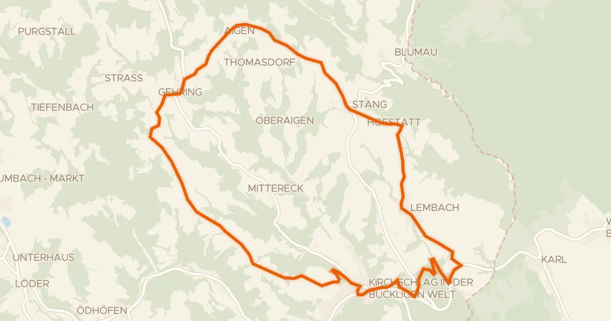
Touring90% paved
Rosengartenroute - E-Bike
22 km↑ 453 m5 km away
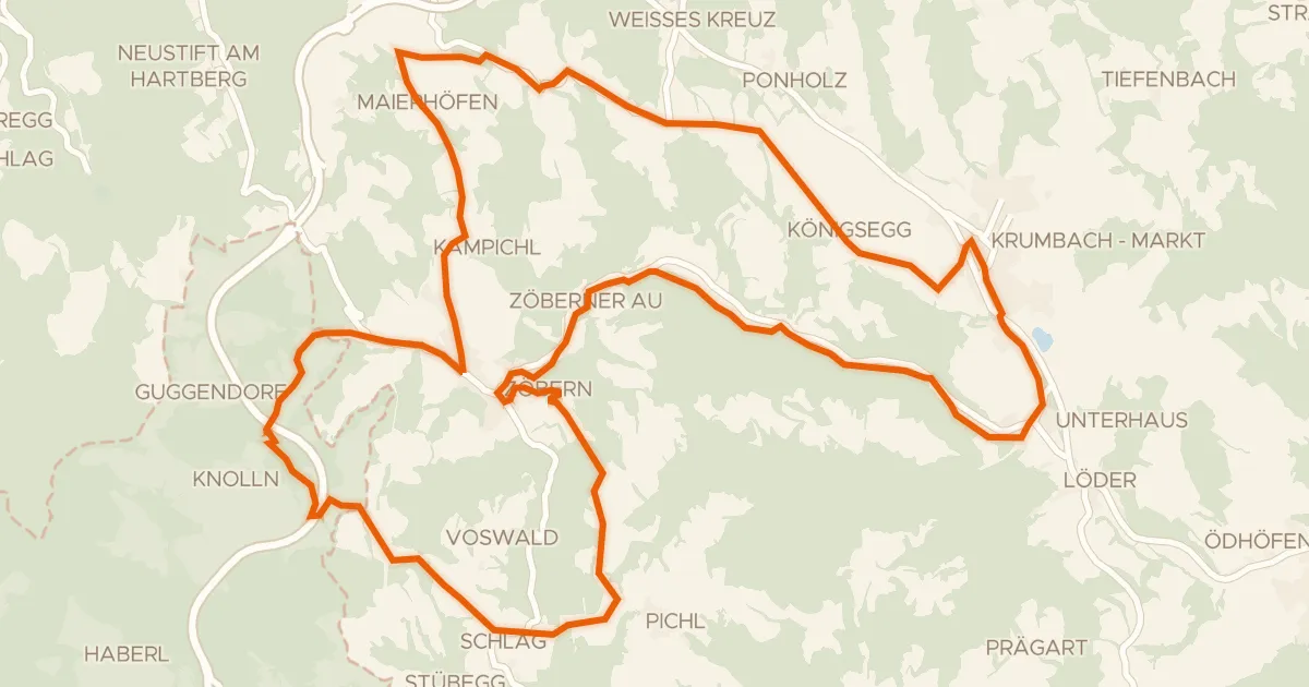
Road bike99% paved
Grenzlandroute (e-Bike)
29 km↑ 664 m6 km away
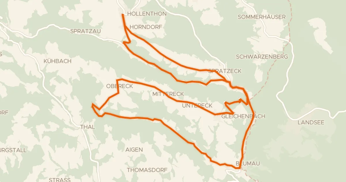
Road bike100% paved
Wetterroute (e-Bike)
27 km↑ 549 m8 km away
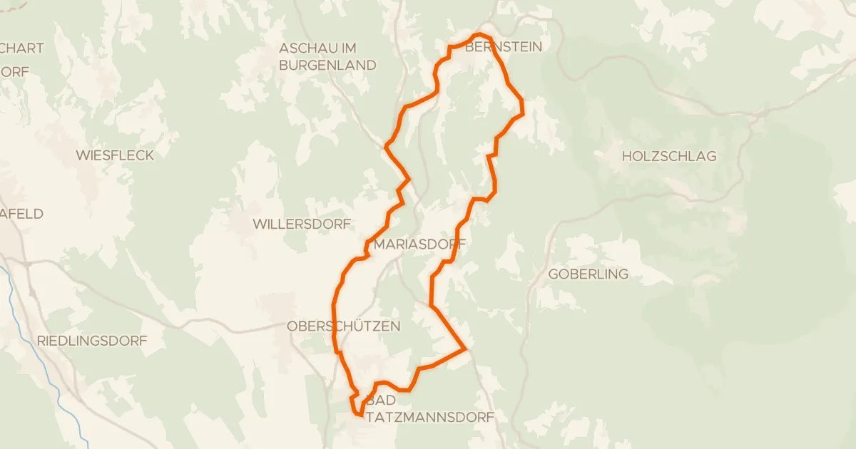
Road bike100% paved
Edelserpentin-Radweg
24 km↑ 532 m14 km away
Road bike100% paved
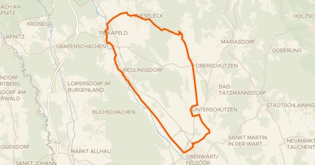
Pinka-Radweg
32 km↑ 285 m18 km away
Road bike99% paved
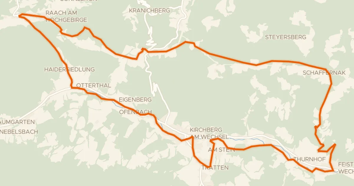
Feistritztal-Route (e-Bike)
32 km↑ 717 m23 km away
Ramssattel