Back to the librarykm 0–6km 8–8km 13–14km 49–53
GravelMade by RouteCasterRound trip
Hills between L'Orne and La Moselle
Distance
56 km
Ascent
695 m
Highest point
389 m
41% paved
Start from your location
Ride there from home: we find the shortest way to the loop and start the loop from there.
The ride
This ride rolls out of Clouange and soon follows the L'Orne river, then the Canal de la Moselle, before meeting the Moselle itself and its canalised stretch. Of the 55.7 km, a good share runs unpaved, and 695 m of climbing keeps the legs honest. You start and finish in the same village, so the loop closes where it began.
Climbs
Climb 1Cat. 3
5.3 km at 3.5% · max 23.9%
Climb 2Cat. 4
0.7 km at 13% · max 16.1%
Climb 3Hill
1 km at 6.4% · max 14.2%
Climb 4Cat. 4
4 km at 3.5% · max 18.9%
Routes nearby

Road bike99% paved
Rondje Château de Hombourg en La Moselle
93 km↑ 634 m16 km away

Road bike100% paved
Rondje Fort Déroulède en La Moselle
74 km↑ 558 m20 km away

Road bike96% paved
Rondje Fort de Guentrange en de Alzette
90 km↑ 971 m21 km away

Gravel43% paved
Rondje Ouvrage de Soetrich en Le Grund
54 km↑ 480 m21 km away

Gravel30% paved
Rondje Ouvrage du Michelsberg en La Nied
59 km↑ 765 m22 km away
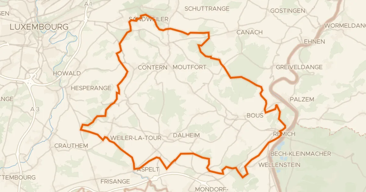
Gravel51% paved
Rondje Château d'Aspelt en Saar-Hunsrück
59 km↑ 945 m36 km away