Back to the librarykm 2–3km 13–14km 19–20km 48–51km 55–57
GravelMade by RouteCasterRound trip
Rondje Ouvrage du Michelsberg en La Nied
Distance
59 km
Ascent
765 m
Highest point
356 m
30% paved
Start from your location
Ride there from home: we find the shortest way to the loop and start the loop from there.
The ride
Roll out of Metzeresche and let the route carry you toward La Nied, the river that sets the tone early on. From there the way climbs and dips through 765 m of elevation gain, with 69% of the riding on unpaved surface, before you reach the Ouvrage du Michelsberg fort. Take it in, then turn for home and roll back into Metzeresche where you started.
Climbs
Climb 1Hill
1.1 km at 6.7% · max 16.7%
Climb 2Hill
1.7 km at 4.3% · max 14.9%
Climb 3Hill
1.1 km at 5.7% · max 9.6%
Climb 4Cat. 4
3 km at 3.2% · max 10.4%
Climb 5Hill
1.8 km at 3.9% · max 15.1%
Routes nearby

Road bike99% paved
Rondje Château de Hombourg en La Moselle
93 km↑ 634 m11 km away

Gravel41% paved
Rondje La Moselle en L'Orne
56 km↑ 695 m15 km away

Gravel43% paved
Rondje Ouvrage de Soetrich en Le Grund
54 km↑ 480 m16 km away

Road bike100% paved
Langs de Saar-Hunsrück en de Nied
76 km↑ 651 m25 km away

Road bike96% paved
Rondje Fort de Guentrange en de Alzette
90 km↑ 971 m28 km away
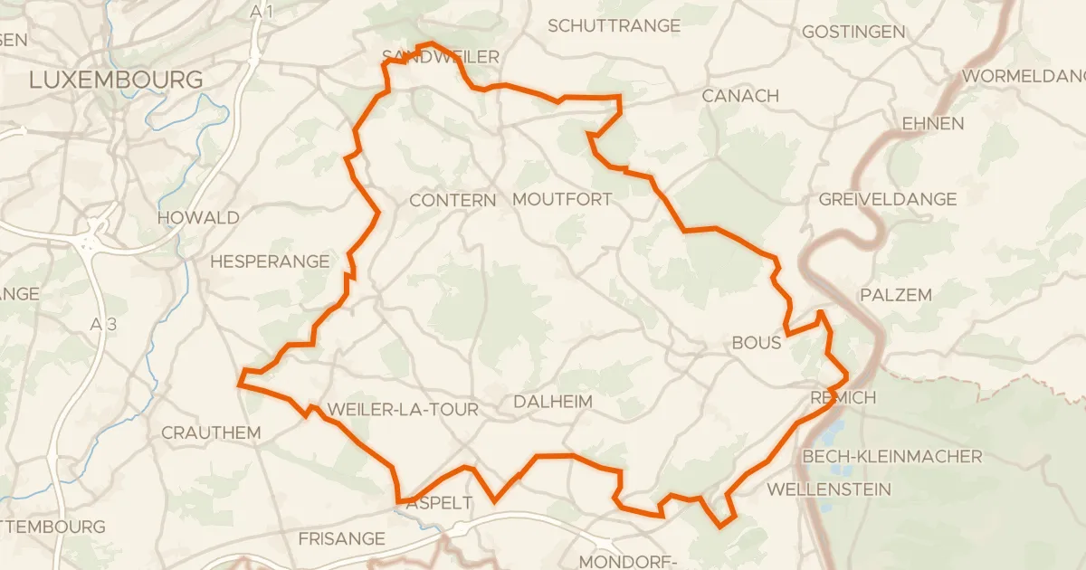
Gravel51% paved
Rondje Château d'Aspelt en Saar-Hunsrück
59 km↑ 945 m30 km away