Back to the librarykm 1–3km 3–4km 5–7km 13–13km 24–25km 26–27km 38–39km 40–42km 43–43km 50–50km 55–57
GravelRouteCasterRound trip
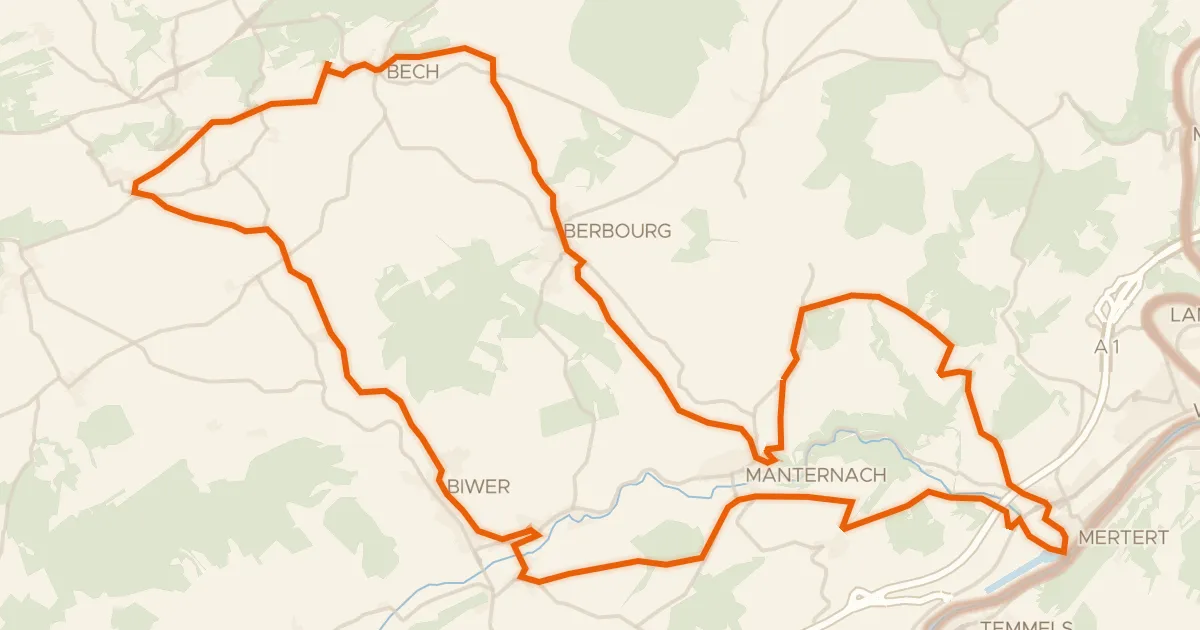
Rondje Château d'Aspelt en Saar-Hunsrück
Distance
59 km
Ascent
945 m
Highest point
365 m
51% paved
Start from your location
Ride there from home: we find the shortest way to the loop and start the loop from there.
The ride
Roll out of Remich and follow the Mosel, then climb into the Saar-Hunsrück nature reserve. The route keeps switching things up: roughly half paved, half unpaved. Past the Gander river, the Château d'Aspelt castle marks the way before the road turns back toward Remich. 58.6 km and 945 m of climbing, start to finish.
Climbs
Climb 1Hill
2 km at 3.8% · max 11.4%
Climb 2Hill
1.2 km at 5.5% · max 9.6%
Climb 3Cat. 4
1.8 km at 6.5% · max 20.9%
Climb 4Hill
0.5 km at 9.5% · max 15.4%
Climb 5Hill
0.7 km at 4.3% · max 9%
Climb 6Hill
1 km at 3.8% · max 9.1%
Climb 7Hill
1 km at 4.5% · max 12.8%
Climb 8Hill
1.2 km at 3.5% · max 9.1%
Climb 9Hill
0.7 km at 3.6% · max 13.1%
Climb 10Hill
0.8 km at 3.8% · max 8.9%
Climb 11Hill
1.3 km at 5.2% · max 24.4%
Routes nearby
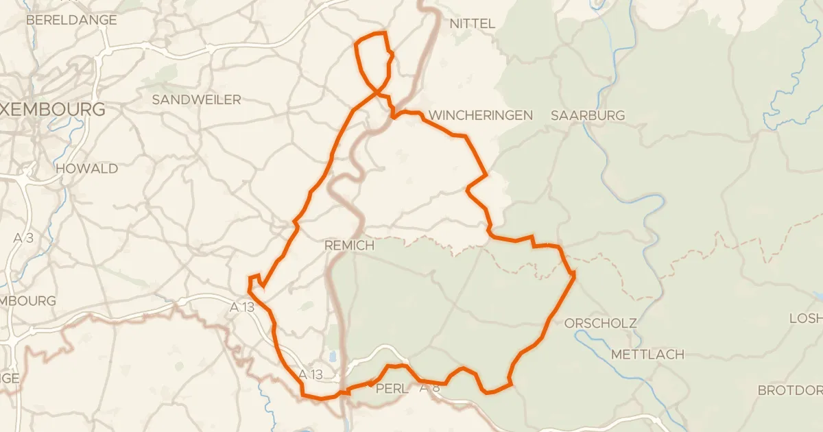
Road bike99% paved
Rondje Château de Schengen en Saarschleife und Leukbachtal
76 km↑ 1,236 m4 km away
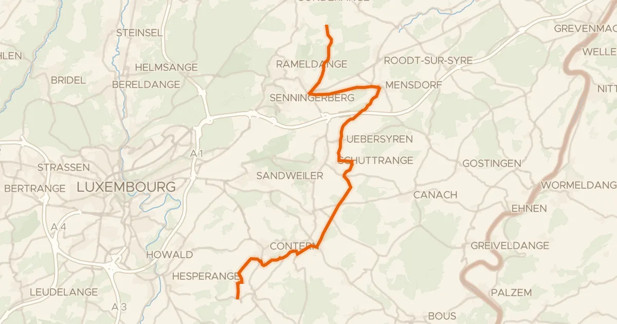
Road bike95% paved
Vëloswee Ieweschte Syrdall
24 km↑ 263 m12 km away
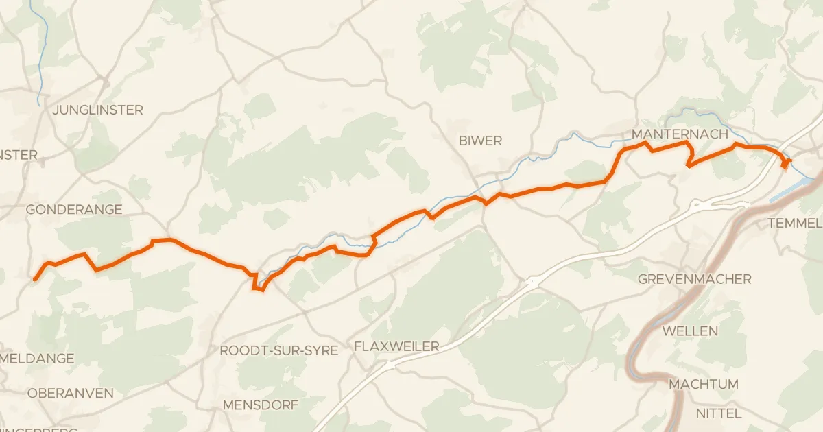
Road bike100% paved
Piste cyclable de la Syre (PC 4)
21 km↑ 237 m16 km away
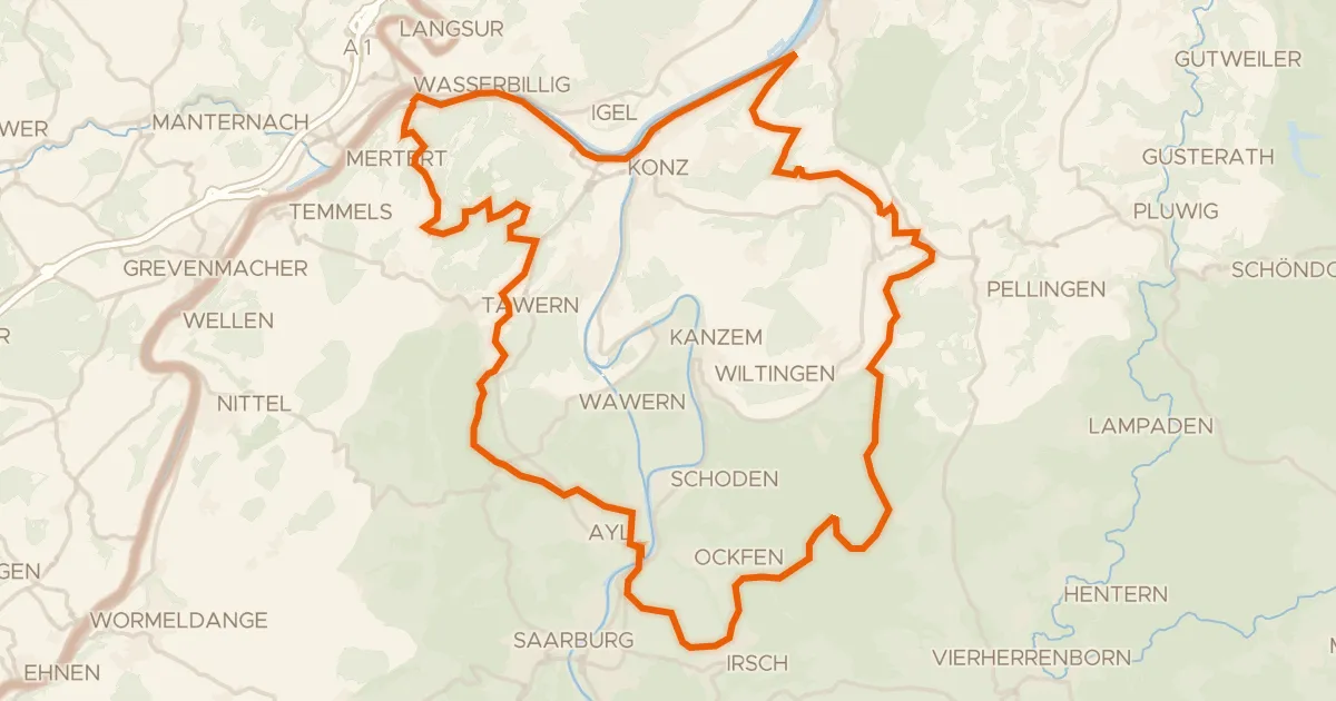
Gravel37% paved
Rondje Perfeist bei Wasserliesch en Saar
61 km↑ 1,339 m20 km away
Road bike100% paved
Velo Pomarium
40 km↑ 705 m20 km away
Gravel63% paved
Rondje Kiesgrube bei Oberkirch en Saar
65 km↑ 1,148 m25 km away