Back to the librarykm 1–1km 2–10km 13–18km 25–26km 45–50km 54–57km 63–64
Road bikeMade by RouteCasterRound trip
Climbs between Giove and Amelia
Distance
74 km
Ascent
1,375 m
Highest point
746 m
100% paved
Start from your location
Ride there from home: we find the shortest way to the loop and start the loop from there.
The ride
From Castel dell'Aquila you roll out toward the Monti Amerini nature reserve, then on past the Oasi del Lago di Alviano nature reserve and along the Lago di Alviano lake. The Tevere river follows, and the Castello di Giove castle marks the way before the road brings you home. It's 73.8 km with 1375 m of climbing, all of it paved.
Climbs
Climb 1Hill
0.6 km at 7.7% · max 14.3%
Climb 2Cat. 3
7.5 km at 3.1% · max 15.6%
Climb 3Cat. 3
4.8 km at 5.5% · max 24.9%
Climb 4Hill
0.8 km at 4.6% · max 8.8%
Climb 5Cat. 3
4.7 km at 5.3% · max 19.3%
Climb 6Cat. 4
3 km at 5% · max 19.8%
Climb 7Hill
1 km at 4.6% · max 10.9%
Routes nearby

Gravel18% paved
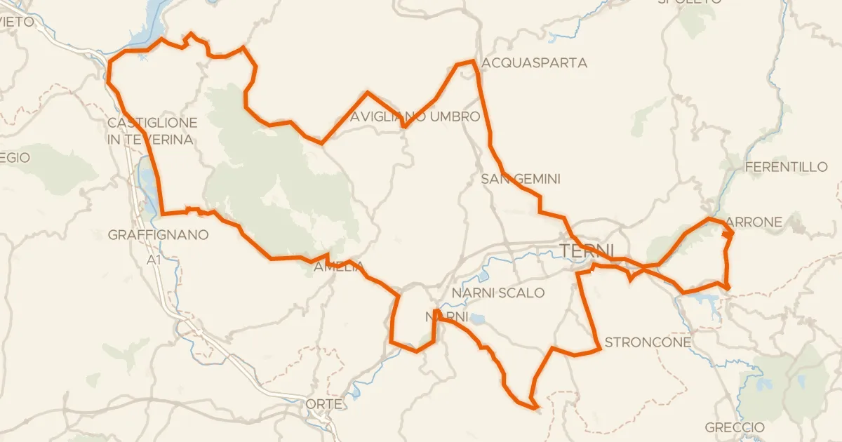
Rondje Monti Amerini en Bacino del Rio Grande
59 km↑ 1,611 m4 km away
Road bike98% paved
Grand Tour Rando Standard
202 km↑ 3,953 m10 km away
Forca di Arrone

Road bike100% paved
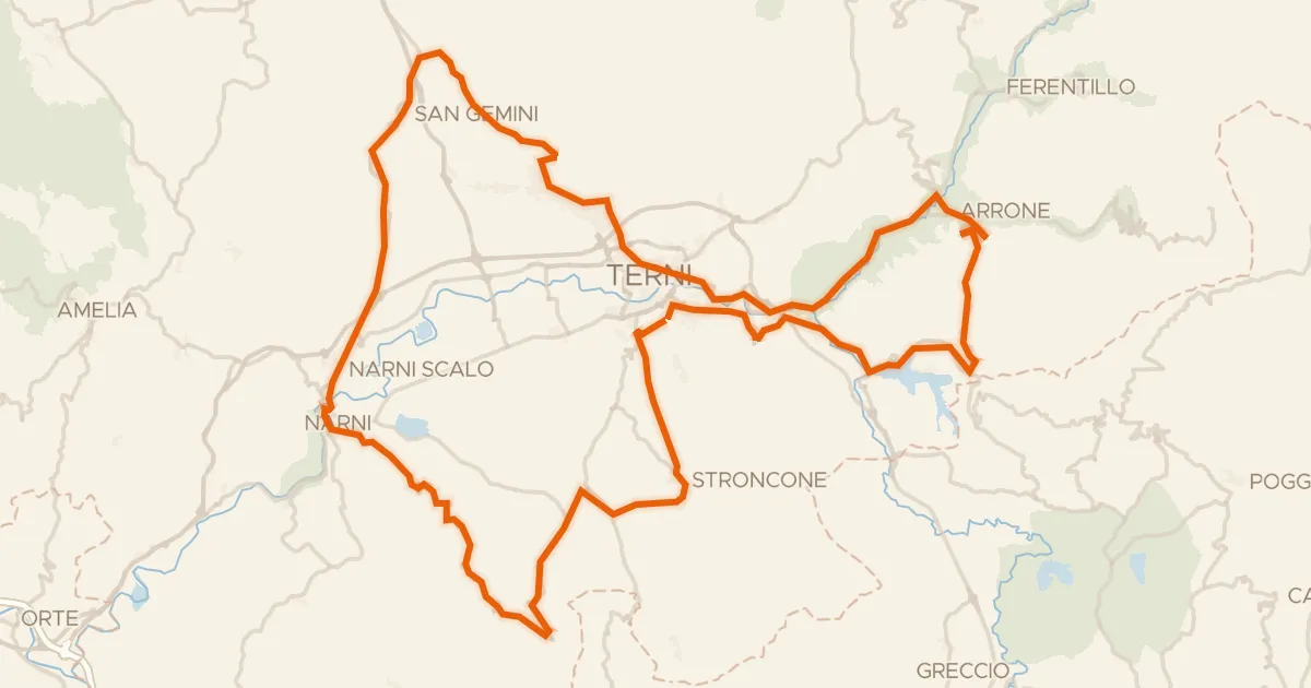
Rondje Castello di Casigliano en Monti Amerini
68 km↑ 1,250 m10 km away
Road bike100% paved
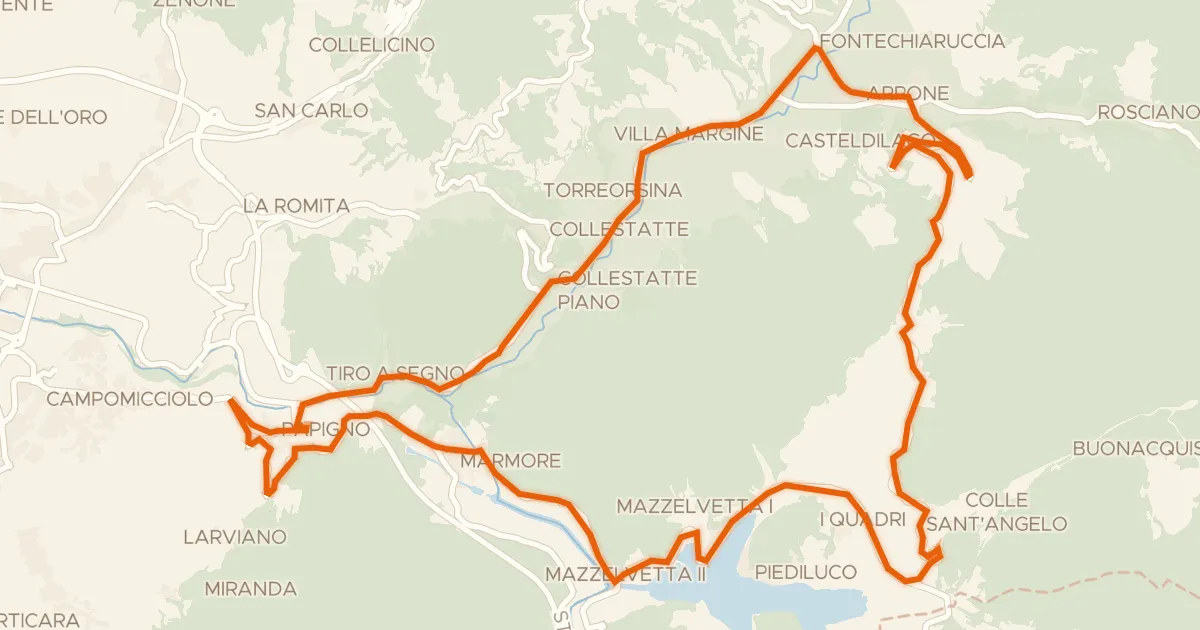
Grand Tour Rando Basic
104 km↑ 2,141 m22 km away
Forca di Arrone
Road bike100% paved
Grand Tour Rando Promo
32 km↑ 611 m28 km away
Forca di Arrone

Gravel53% paved
Langs de Fiume Topino en de Fiume Clitunno
64 km↑ 919 m33 km away