Back to the librarykm 4–4km 16–27km 31–34
Road bikeRound trip
9 - Rund um die Thaler Höhe / Salmaser Höhe
Distance
37 km
Ascent
788 m
Highest point
1,062 m
97% paved
Start from your location
Ride there from home: we find the shortest way to the loop and start the loop from there.
The ride
Roll out on 37.2 km with 788 m of climbing, and you get a mix of 97% paved and 3% unpaved riding. Along the way you pass the Wasserscheide Rhein/Donau and the Stixnerjoch, two fine excuses to pause and look around. It's a route that keeps things varied without straying far from what the numbers promise. Enjoy the spin.
Passes
Wasserscheide Rhein/DonauStixnerjoch
Climbs
StixnerjochHill
0.4 km at 7.9% · max 13%
Climb 2Cat. 2
10.3 km at 3.1% · max 18.6%
Climb 3Cat. 3
3.5 km at 5.1% · max 17.7%
Routes nearby
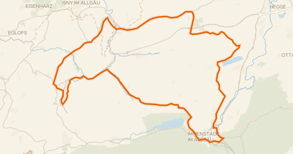
Road bike100% paved
Rondje Burgruine Rothenfels en Eistobel
76 km↑ 1,036 m2 km away
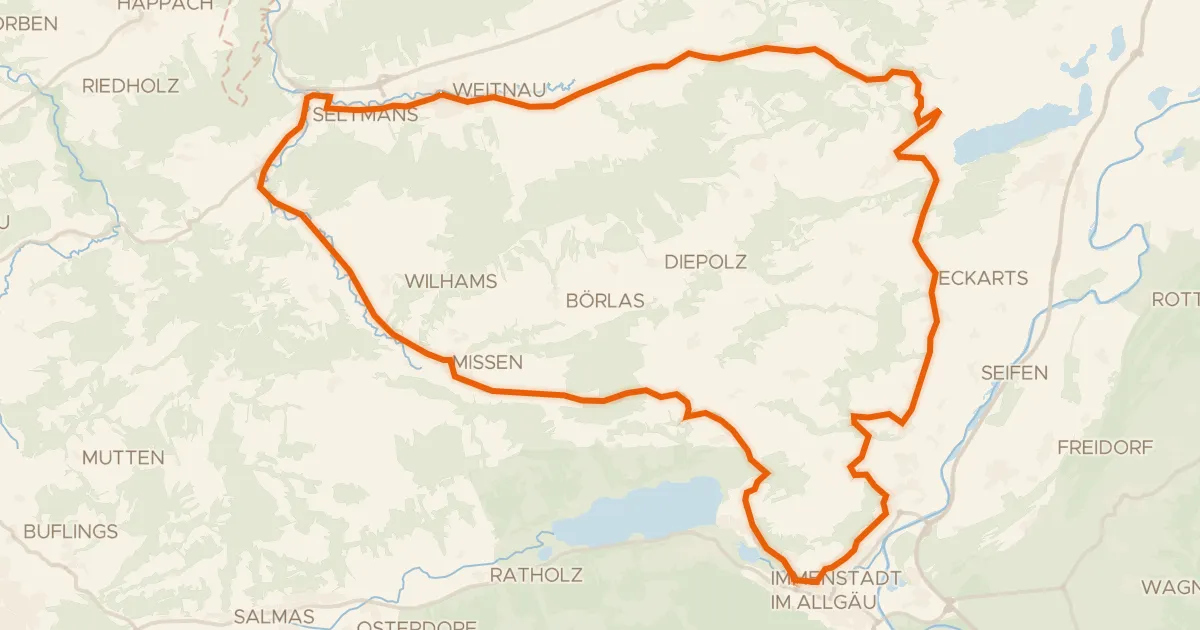
Road bike100% paved
7 - Alpkönigs-Runde
44 km↑ 783 m3 km away
Stixnerjoch
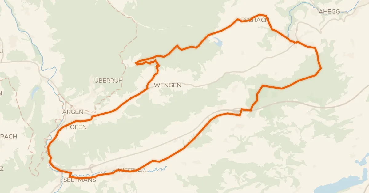
Gravel56% paved
6 - Sonneck-Runde
37 km↑ 637 m9 km away
Wasserscheide Eschach/Iller
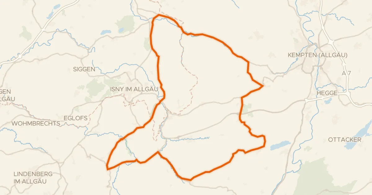
Road bike100% paved
Rondje Eistobel en Schloss Rimpach
73 km↑ 1,097 m10 km away
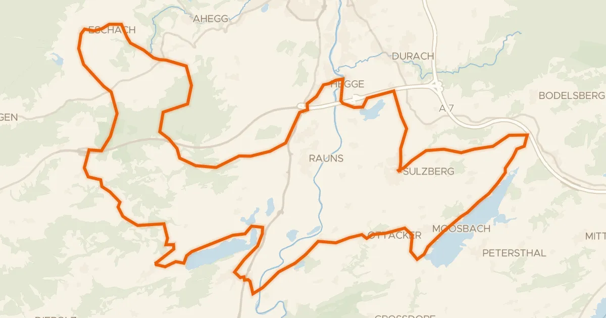
Touring75% paved
23 -Seelina-Radrundweg
68 km↑ 1,150 m15 km away
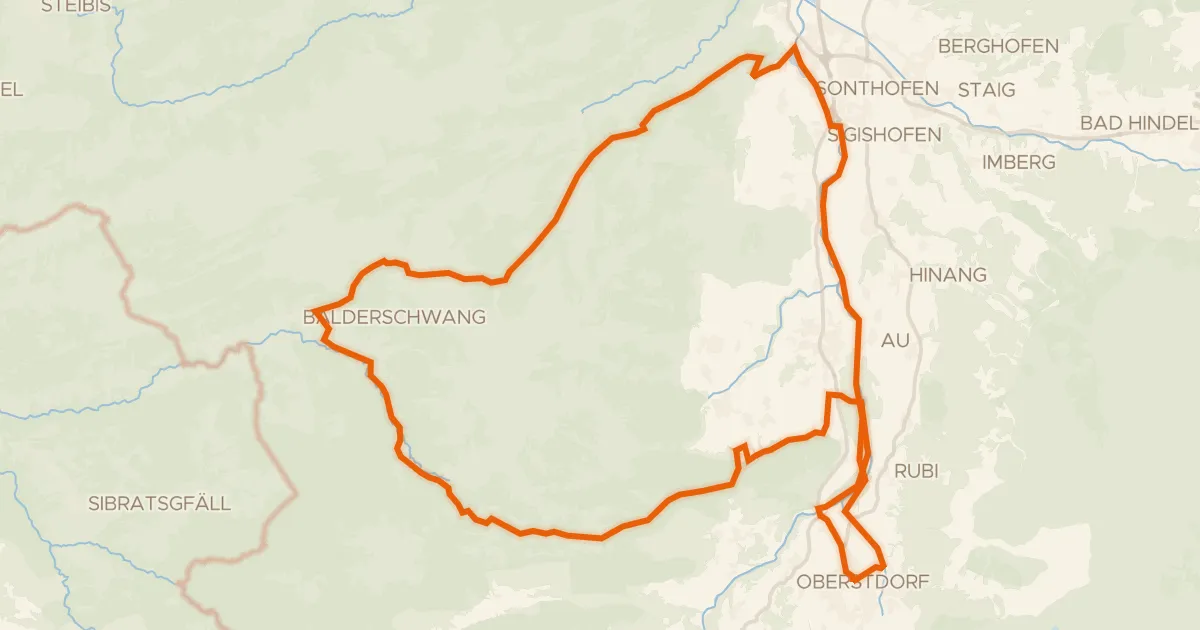
Gravel39% paved
Rondje Breitach en Iller
58 km↑ 1,554 m16 km away