Back to the librarykm 5 · Sep 2026 · © dapiang / Mapillary, CC BY-SA km 32 · Jan 2019 · © thetornado76 / Mapillary, CC BY-SA km 68 · Sep 2026 · © dapiang / Mapillary, CC BY-SA km 1–2km 38–39km 41–42km 43–43km 46–51km 61–63km 66–68
Road bikeRouteCasterRound trip
Rondje Eistobel en Schloss Rimpach
Distance
73 km
Ascent
1,097 m
Highest point
1,023 m
100% paved
Start from your location
Ride there from home: we find the shortest way to the loop and start the loop from there.
The ride
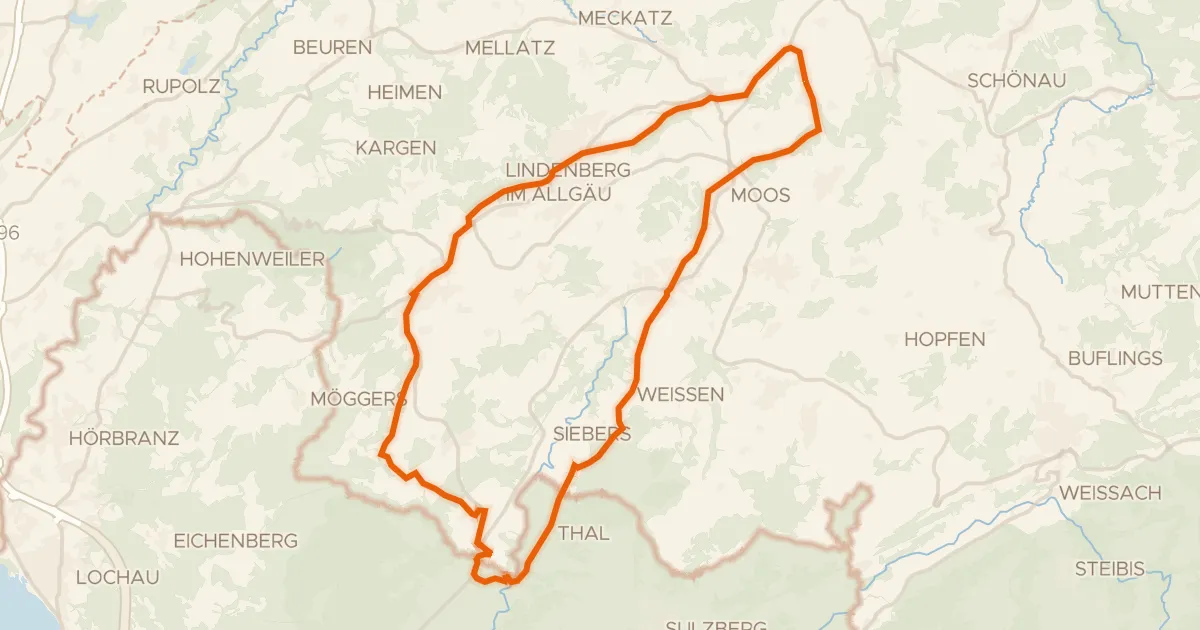
Roll out from Parkeerplaats Eistobel and straight into the Eistobel nature reserve, then on past the Hengelesweiher. The route threads through the Rimpacher Moos - Weites Ried and by Schloss Rimpach, before the Breitenmoos and the Kapf viewpoint. It's 72.9 km, all paved, climbing 1097 m along the way. Back to Eistobel to finish.
Along the way
Climbs
Climb 1Hill
1.5 km at 3.9% · max 12.2%
Climb 2Hill
1.5 km at 5.2% · max 17.7%
Climb 3Hill
1.2 km at 5.3% · max 12.5%
Climb 4Hill
0.6 km at 4.7% · max 8.6%
Climb 5Cat. 3
5.2 km at 5.8% · max 15.7%
Climb 6Hill
1.6 km at 4.3% · max 9.9%
Climb 7Hill
1.3 km at 3.7% · max 15.5%
Routes nearby
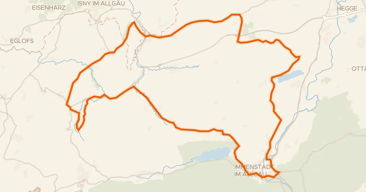
Road bike100% paved
Rondje Burgruine Rothenfels en Eistobel
76 km↑ 1,036 m9 km away
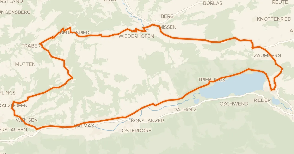
Road bike97% paved
9 - Rund um die Thaler Höhe / Salmaser Höhe
37 km↑ 788 m10 km away
Wasserscheide Rhein/Donau · Stixnerjoch
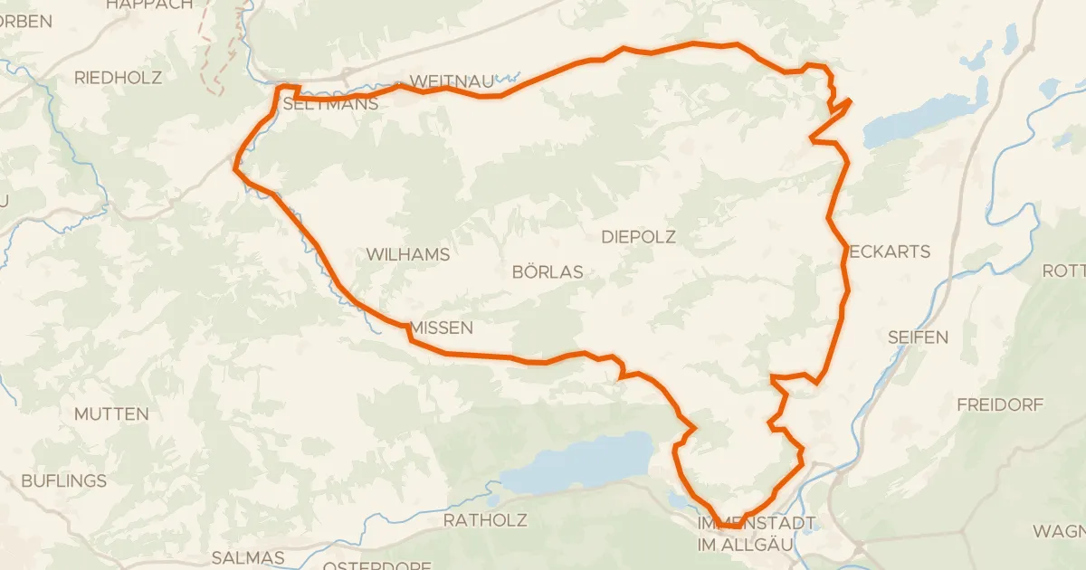
Road bike100% paved
7 - Alpkönigs-Runde
44 km↑ 783 m11 km away
Stixnerjoch
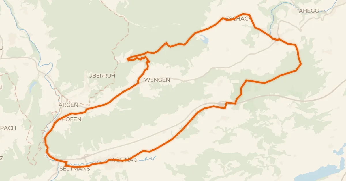
Gravel56% paved
6 - Sonneck-Runde
37 km↑ 637 m11 km away
Wasserscheide Eschach/Iller
Road bike100% paved
5 - Bähnle-Runde
35 km↑ 555 m12 km away
Road bike100% paved
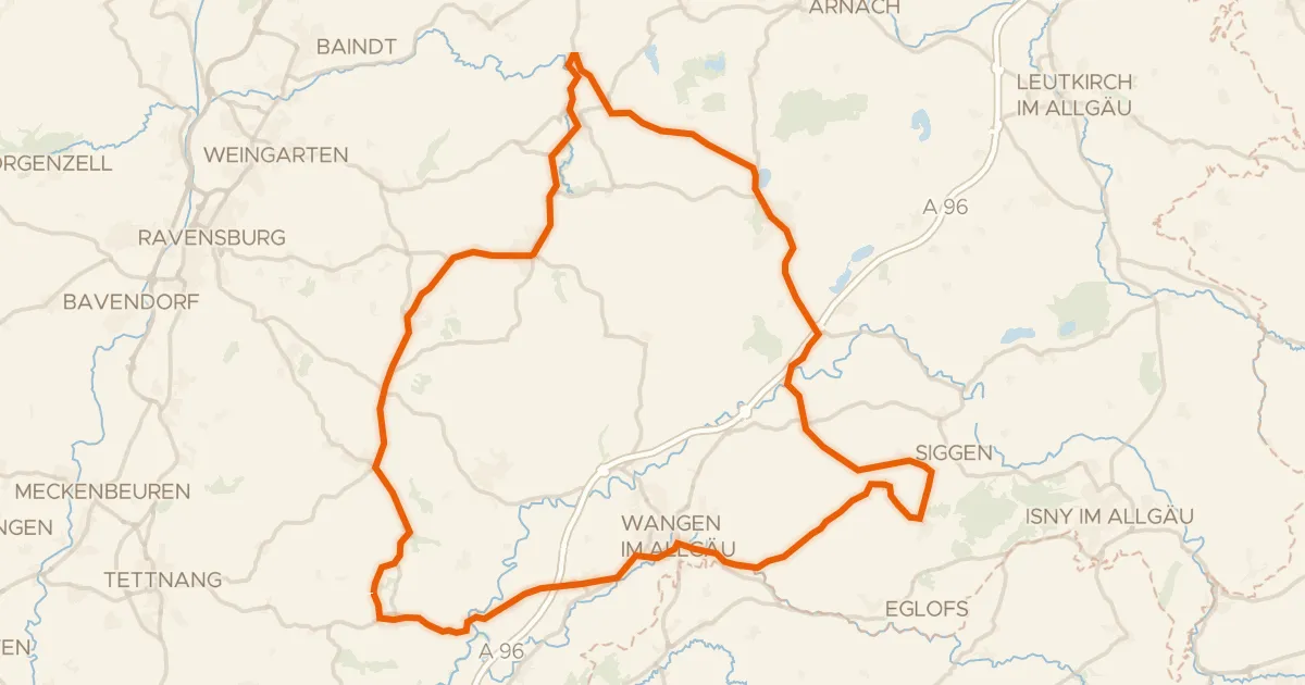
Rondje langs Waldburg en Zeller See
80 km↑ 948 m19 km away