Back to the library
Road bikeRouteCasterRound trip

Rondje Burgruine Rothenfels en Eistobel

Distance
76 km
Ascent
1,036 m
Highest point
969 m
100% paved

Start from your location

Ride there from home: we find the shortest way to the loop and start the loop from there.

The ride

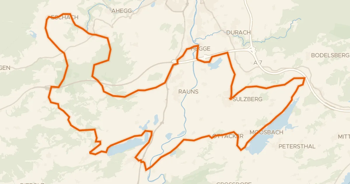
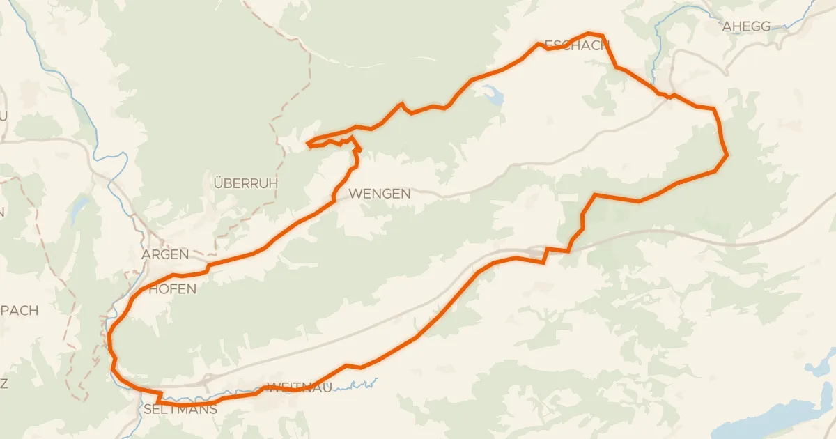
Roll out from Parkeerplaats Rohrbachtobel im Wirlinger Forst and the climbing begins. Past castle Burgruine Laubenbergerstein, then castle Burgruine Rothenfels, before the Eistobel nature reserve and the Hengelesweiher nature reserve. On through Breitenmoos nature reserve and the Schönleitenmoos im Wierlinger Forst nature reserve, then back to where you started. 75.7 km, all of it paved.
Along the way

Climbs

Climb 1Hill
0.5 km at 7.7% · max 21%
km 7–8
StixnerjochCat. 3
5.4 km at 4.5% · max 17%
km 21–27
Climb 3Hill
1.6 km at 4.3% · max 11.1%
km 36–38
Climb 4Hill
1.8 km at 4.1% · max 10.6%
km 41–43
Climb 5Hill
1.5 km at 3.7% · max 10.4%
km 52–54

Routes nearby

More cycling routes in Germany →