Back to the librarykm 6–9km 10–11km 11–16km 18–18km 24–29km 29–29km 35–37
GravelRouteCasterRound trip
Rondje Breitach en Iller
Distance
58 km
Ascent
1,554 m
Highest point
1,518 m
39% paved
Start from your location
Ride there from home: we find the shortest way to the loop and start the loop from there.
The ride
Roll out of Oberstdorf and let the ride unfold: first the Breitach river, then through the Naturpark Nagelfluhkette nature reserve, before the Iller and the Weiler Ach rivers lead you home. Of the 58.3 km, most runs unpaved, and 1554 m of climbing keeps the legs honest. It's a loop that starts and finishes in the same village, so the reward is waiting right where you began.
Climbs
Climb 1Cat. 4
2.8 km at 3.5% · max 21.1%
Climb 2Hill
0.8 km at 9.7% · max 19%
Climb 3Cat. 2
4.6 km at 9.9% · max 66.4%
Climb 4Hill
0.5 km at 8.4% · max 16.3%
Climb 5Cat. 2
4.6 km at 10.1% · max 49.2%
Climb 6Hill
0.2 km at 13.9% · max 15.4%
Climb 7Cat. 4
2.2 km at 5.7% · max 23.9%
Routes nearby
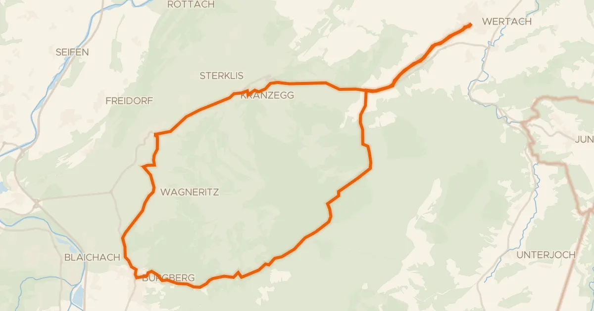
Touring94% paved
19 - Rund um den Grünten
31 km↑ 659 m18 km away
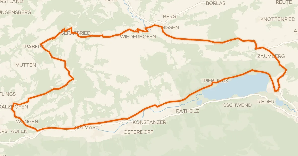
Road bike97% paved
9 - Rund um die Thaler Höhe / Salmaser Höhe
37 km↑ 788 m22 km away
Wasserscheide Rhein/Donau · Stixnerjoch
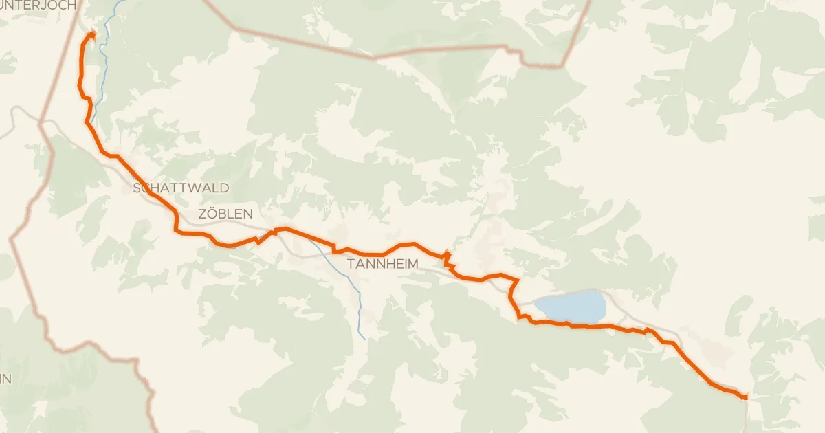
Touring88% paved
Radweg Tannheimertal
20 km↑ 190 m22 km away
Wasserscheide Vils/Lech
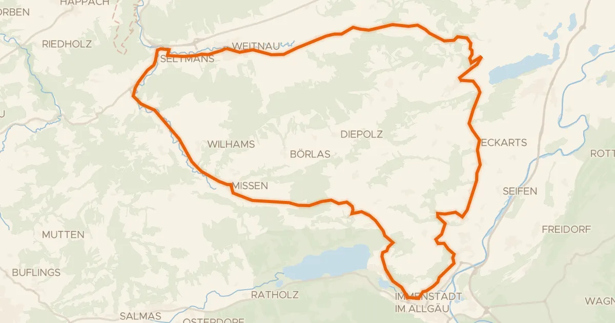
Road bike100% paved
7 - Alpkönigs-Runde
44 km↑ 783 m23 km away
Stixnerjoch
Road bike100% paved
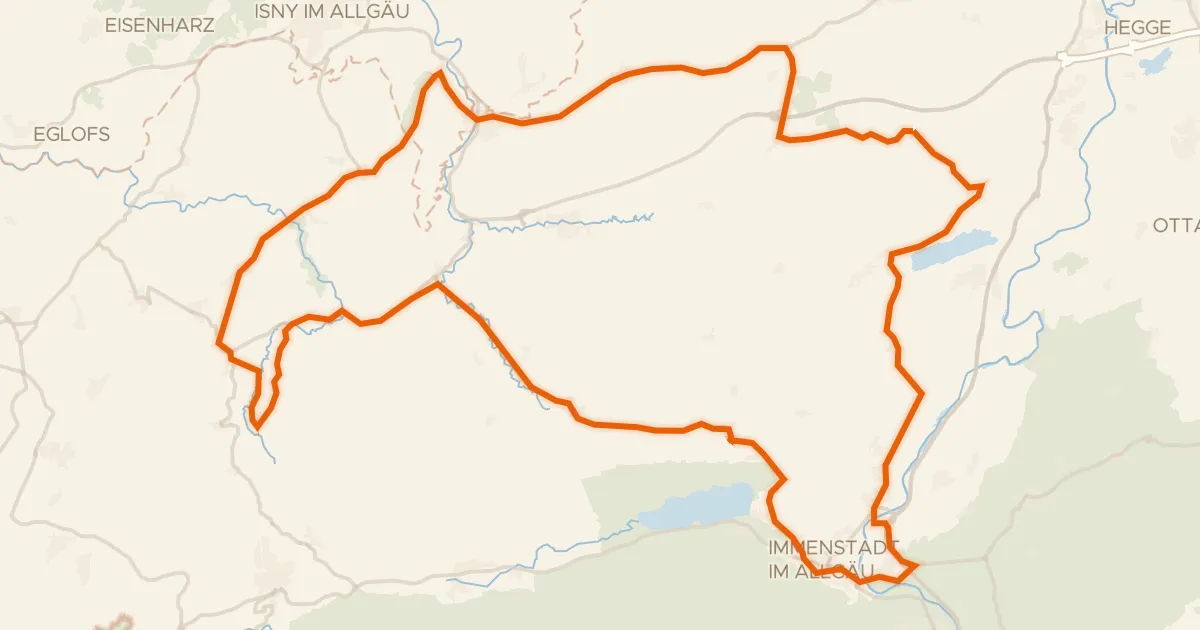
Rondje Burgruine Rothenfels en Eistobel
76 km↑ 1,036 m25 km away
Touring75% paved
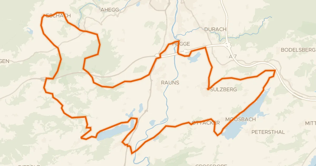
23 -Seelina-Radrundweg
68 km↑ 1,150 m28 km away