Back to the librarykm 0–1km 1–6km 10–14km 16–18km 29–30km 30–31km 34–34km 37–41km 42–52km 57–57km 59–59
GravelMade by RouteCasterRound trip
Waterside route via Piedilama to Monte Ceresa
Distance
59 km
Ascent
2,758 m
Highest point
1,456 m
7% paved
Start from your location
Ride there from home: we find the shortest way to the loop and start the loop from there.
The ride
Roll out of Arquata del Tronto and let the ride unfold past the Rocca castle, then down along the Fiume Tronto and on to the Fiume Aso. The route climbs its way to Monte Ceresa nature reserve before turning you back toward the start. With 59.1 km under the wheels and plenty of elevation gain, it's a lively loop through the landscape.
Climbs
Climb 1Hill
0.4 km at 9.2% · max 23.7%
Climb 2Cat. 2
5.8 km at 9% · max 49.8%
Climb 3Cat. 2
3.2 km at 10.2% · max 31%
Climb 4Cat. 4
1.9 km at 5.7% · max 21.3%
Climb 5Cat. 4
1.2 km at 12.3% · max 29.8%
Climb 6Hill
0.8 km at 5.9% · max 18.2%
Climb 7Hill
0.7 km at 5.5% · max 12.4%
Climb 8Cat. 2
4.3 km at 10.7% · max 36.9%
Climb 9Cat. 1
9.8 km at 7% · max 29.1%
Climb 10Hill
0.6 km at 13% · max 27.4%
Climb 11Hill
0.5 km at 5.6% · max 10.2%
Routes nearby
Road bike98% paved
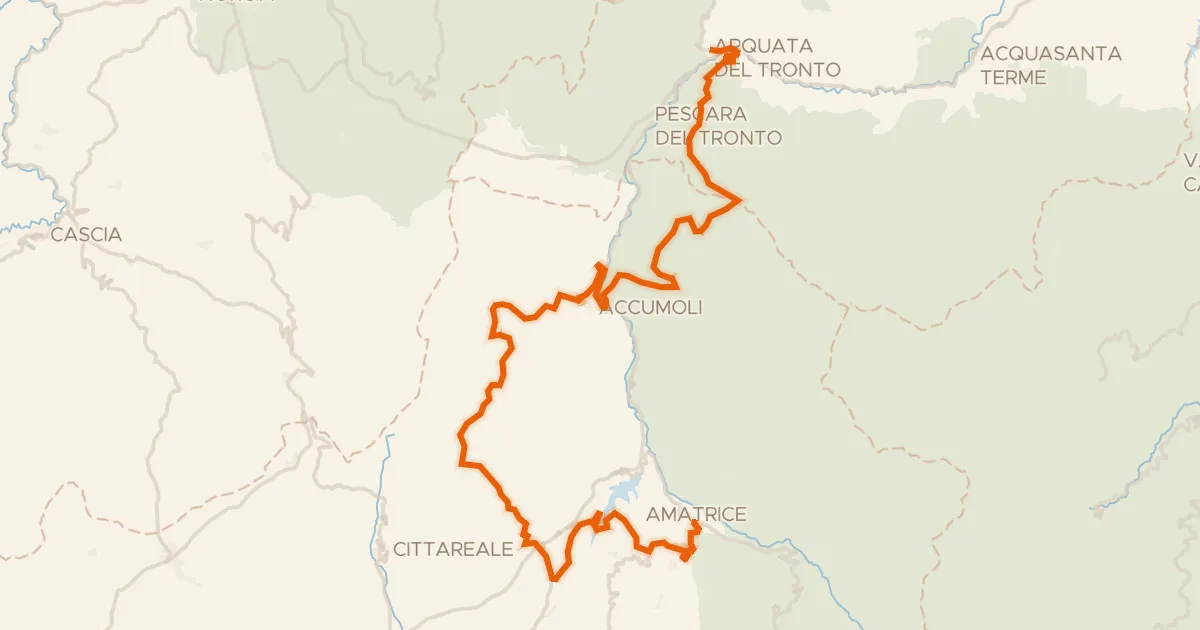
ABT Tappa 16: Arquata del Tronto - Amatrice
63 km↑ 1,856 m10 km away
Passo della Torrita

Gravel15% paved
Rondje Lago di Scandarello en Fiume Tronto
56 km↑ 2,375 m13 km away
Touring94% paved
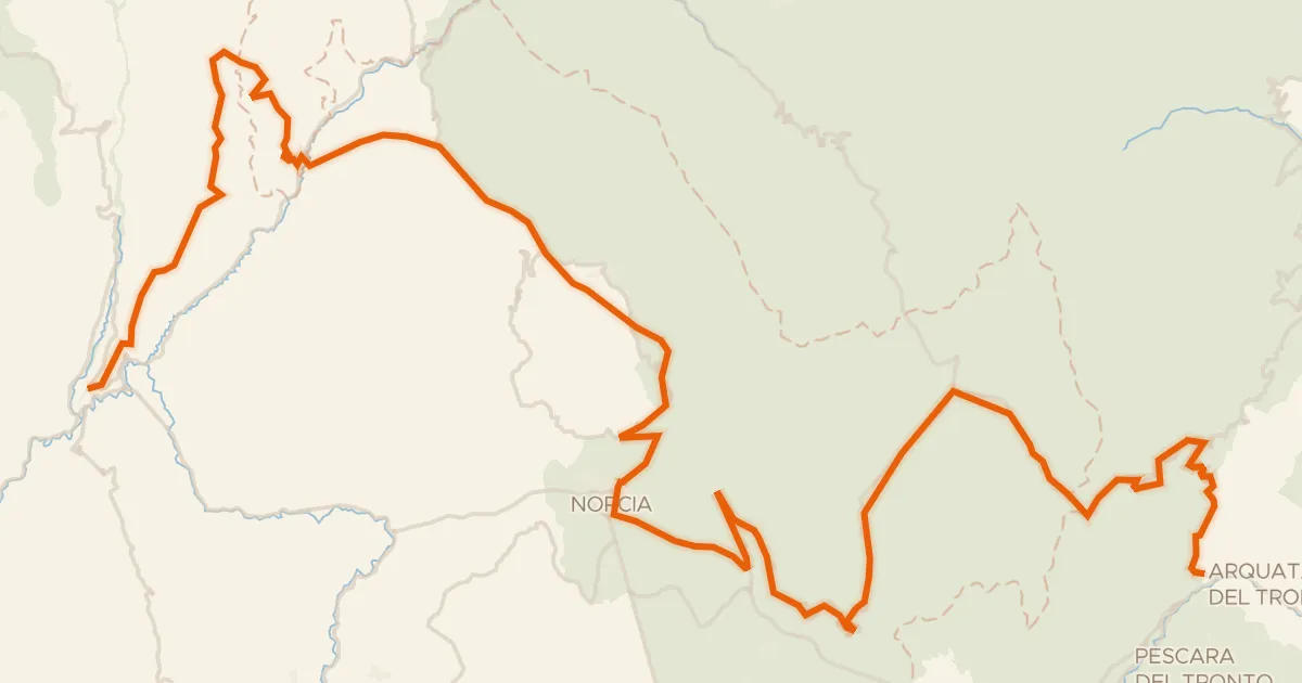
ABT Tappa 15: Cerreto di Spoleto - Arquata del Tronto
87 km↑ 2,591 m17 km away
Forca di Presta · Forca di Ancarano

Road bike100% paved
Rondje Fortezza Pia en Lago di Talvacchia
80 km↑ 1,878 m26 km away

Gravel46% paved
Rondje Fortezza Pia en Fiume Tronto
60 km↑ 2,366 m26 km away

Gravel43% paved
Rondje Castello di Umbriano en Parco Fluviale del Nera
62 km↑ 2,174 m37 km away