Back to the librarykm 4–4km 11–12km 14–15km 16–22km 25–27km 33–36km 36–37km 38–39km 40–41km 41–43km 43–44km 46–50
GravelMade by RouteCasterRound trip
Rondje Castello di Umbriano en Parco Fluviale del Nera
Distance
62 km
Ascent
2,174 m
Highest point
1,222 m
43% paved
Start from your location
Ride there from home: we find the shortest way to the loop and start the loop from there.
The ride
This ride rolls out of Scheggino and follows the Nera river before slipping into the Parco Fluviale del Nera nature reserve. From there the route climbs past the Castello di Umbriano castle and loops back to where it began. Along the 62.4 km you'll cover 2174 m of climbing, with a mix of paved and unpaved surface under your wheels.
Climbs
Climb 1Hill
0.4 km at 10.9% · max 14.2%
Climb 2Cat. 3
1 km at 21.2% · max 55.8%
Climb 3Cat. 3
1.8 km at 14.1% · max 41.8%
Climb 4Cat. 1
6.1 km at 12.1% · max 33.4%
Climb 5Cat. 4
1.7 km at 4.8% · max 12.2%
Climb 6Cat. 4
2.2 km at 5.2% · max 11%
Climb 7Hill
0.8 km at 3.4% · max 10.7%
Climb 8Hill
0.6 km at 6.9% · max 11.5%
Climb 9Hill
0.9 km at 3.2% · max 12.6%
Climb 10Cat. 4
1.7 km at 5.2% · max 13.4%
Climb 11Hill
1.2 km at 3.7% · max 13.7%
Force CapistrelloCat. 3
3.6 km at 8.5% · max 31.9%
Routes nearby
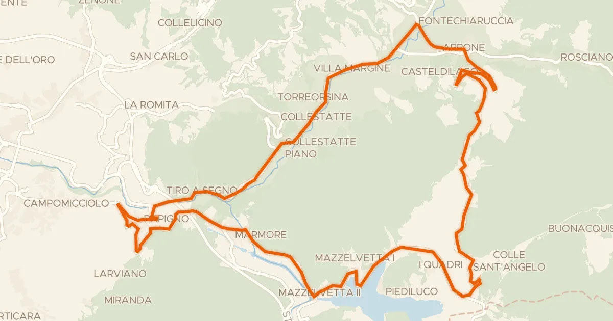
Road bike100% paved
Grand Tour Rando Promo
32 km↑ 611 m18 km away
Forca di Arrone

Road bike100% paved
Langs de Fiume Topino en de Fiume Menotre
68 km↑ 1,024 m21 km away
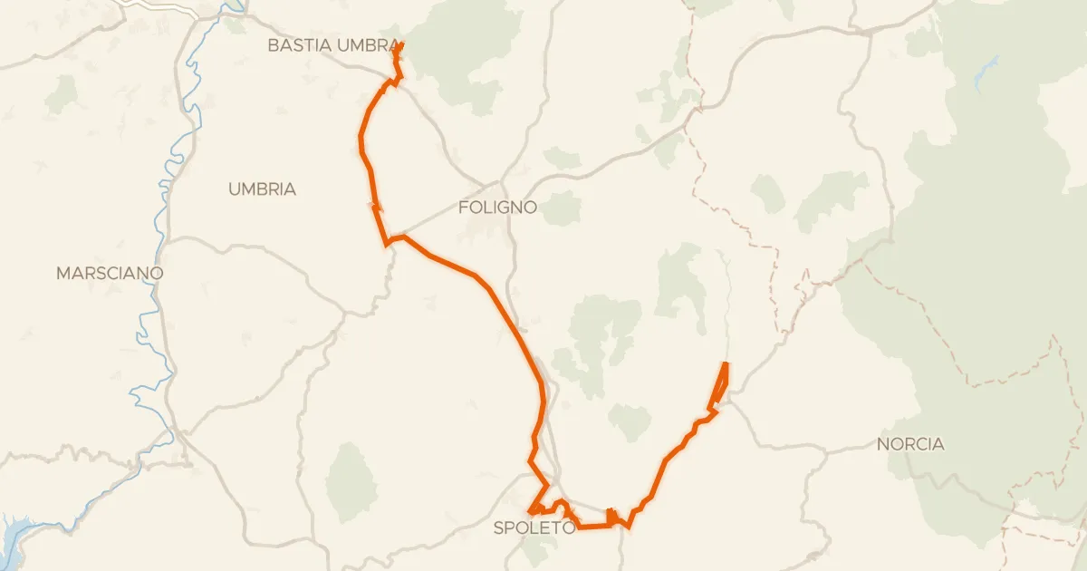
Gravel65% paved
ABT Tappa 14: Assisi - Cerreto di Spoleto
90 km↑ 1,300 m22 km away
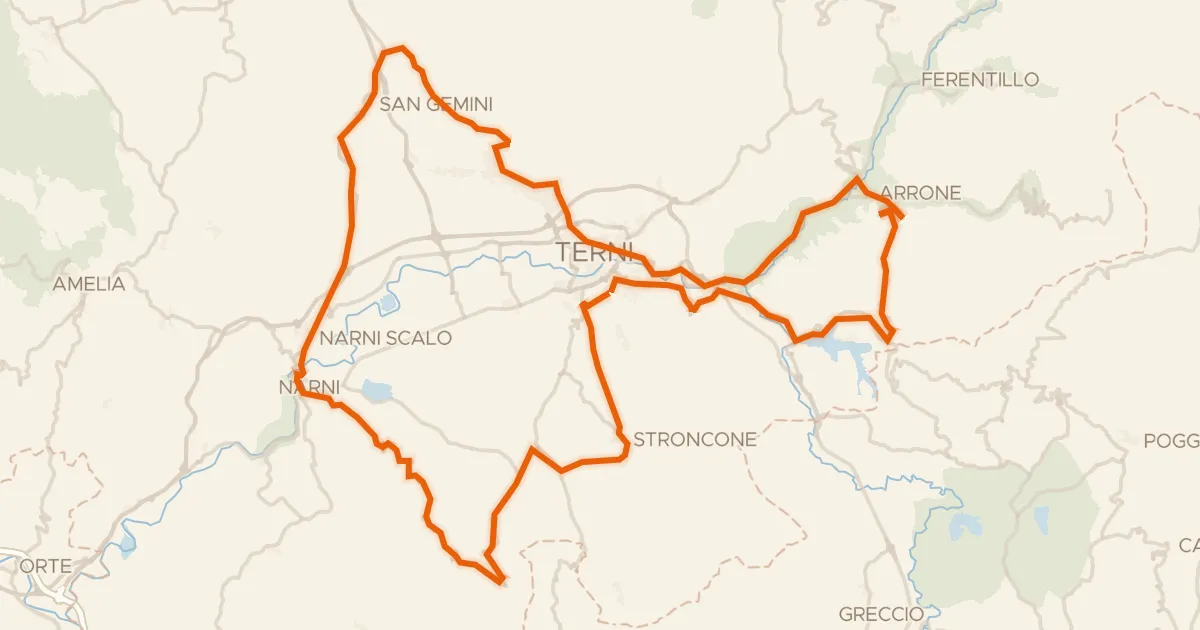
Road bike100% paved
Grand Tour Rando Basic
104 km↑ 2,141 m24 km away
Forca di Arrone

Gravel53% paved
Langs de Fiume Topino en de Fiume Clitunno
64 km↑ 919 m24 km away
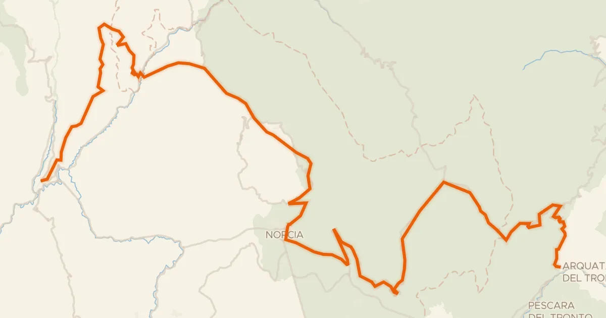
Touring94% paved
ABT Tappa 15: Cerreto di Spoleto - Arquata del Tronto
87 km↑ 2,591 m26 km away
Forca di Presta · Forca di Ancarano