Back to the librarykm 35 · Sep 2020 · © gzin / Mapillary, CC BY-SA km 51 · Sep 2020 · © gzin / Mapillary, CC BY-SA km 63 · Sep 2020 · © gzin / Mapillary, CC BY-SA km 3–3km 4–4km 7–7km 8–8km 10–10km 30–31km 33–44km 68–69
Road bikeMade by RouteCasterRound trip
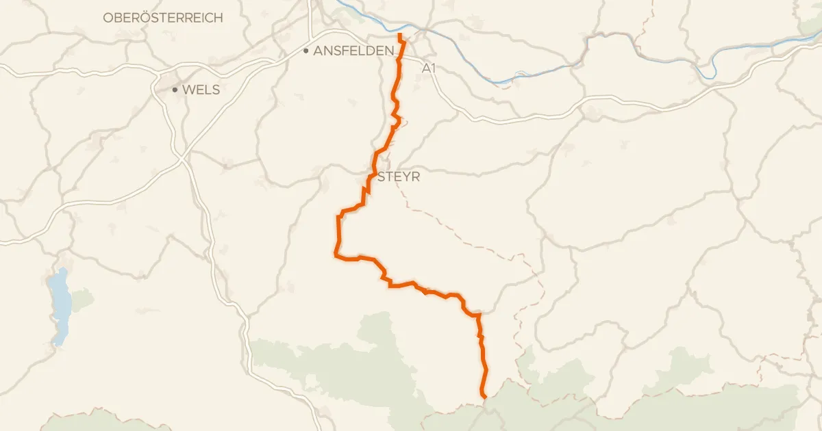
Waterside route between Enns and Reichramingbach
Distance
74 km
Ascent
1,333 m
Highest point
703 m
100% paved
Start from your location
Ride there from home: we find the shortest way to the loop and start the loop from there.
The ride
From Reichraming you follow the Reichramingbach river out of the village, then climb to the Neutor viewpoint for a first wide look. The route rolls on to the Enns river before turning you back toward home. Along the way 73.8 km and 1333 m of climbing add up on paved surface the whole way. It ends where it began, in Reichraming.
Along the way
Climbs
Climb 1Hill
0.4 km at 6.9% · max 13.3%
Climb 2Hill
0.5 km at 5.4% · max 7.7%
Climb 3Hill
0.1 km at 32.7% · max 32.7%
Climb 4Hill
0.5 km at 6.5% · max 23%
Climb 5Hill
0.5 km at 6.2% · max 10.7%
Climb 6Hill
1.3 km at 3.1% · max 11.5%
Climb 7Cat. 2
10.9 km at 3.7% · max 15.5%
Climb 8Cat. 4
1.1 km at 8% · max 17%
Routes nearby
Road bike96% paved
Ennstalweg (Oberösterreich)
92 km↑ 1,378 m11 km away

Gravel27% paved
Waterside route along the Enns and Gaflenzbach
66 km↑ 2,805 m14 km away

Road bike100% paved
Castles between Krems and Steyr
82 km↑ 1,239 m20 km away

Road bike99% paved
Hills between Krems and Steyr
77 km↑ 956 m23 km away

Road bike100% paved
Rivers between Ybbs and Url
80 km↑ 1,031 m23 km away

Gravel64% paved
Castles between Haag and Kronstorf
63 km↑ 830 m23 km away